
N2 Bus Route Map
View the N2 route map and see all N2 stops along the route. The map of N2 shows where the bus travels and the location of each stop, making it easy to understand the entire route at a glance.
Explore Verkehrsbetriebe Brandenburg routes on the map and see where Verkehrsbetriebe Brandenburg bus services operate. Use the N2 map to find bus stops and see how the N2 connects different areas along its trip.
All N2 stops on the map are displayed in route order, helping you follow the N2 bus from the first stop to the last.
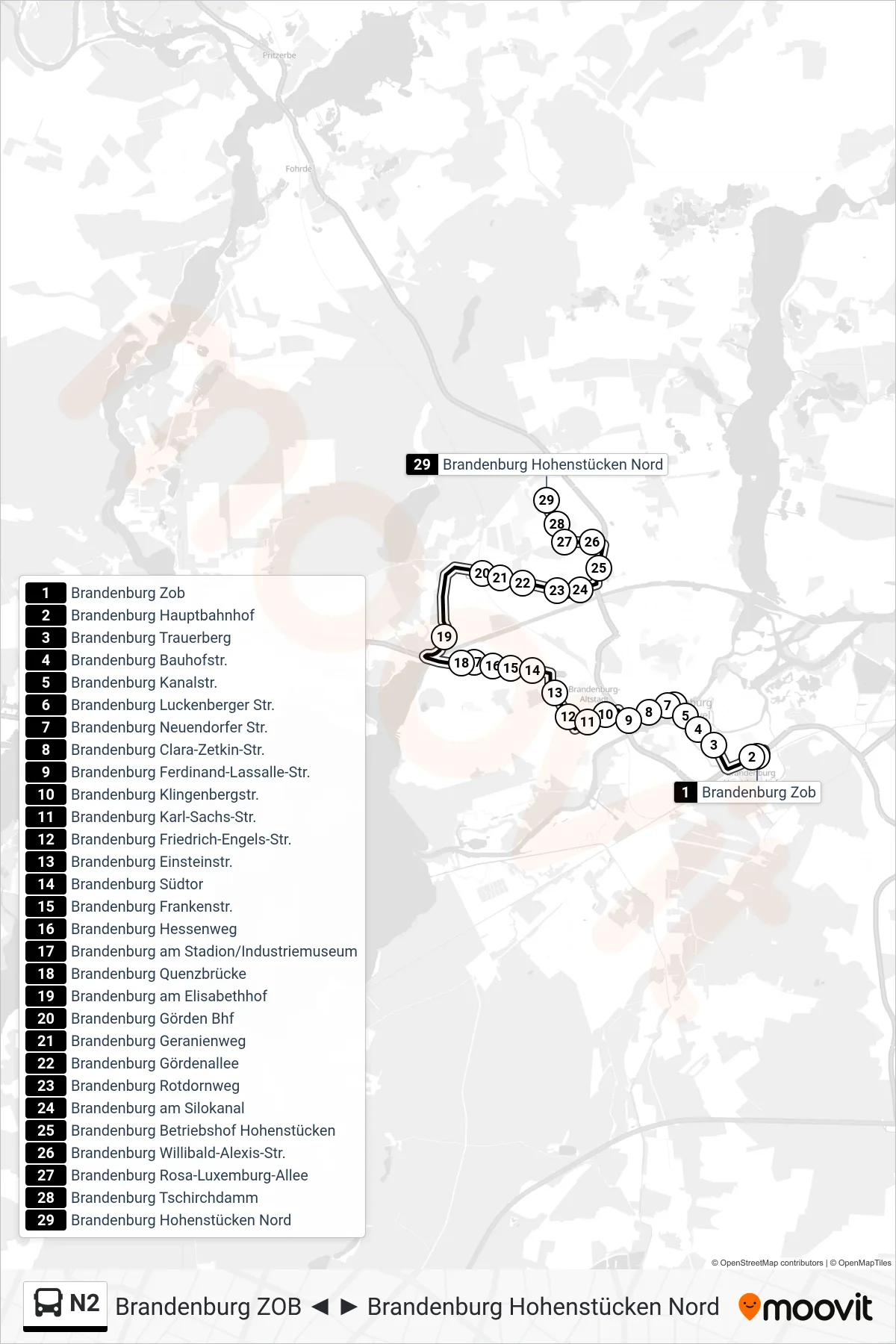
Stops list (N2 - Brandenburg Hohenstücken Nord)
- Brandenburg Zob
- Brandenburg Hauptbahnhof
- Brandenburg Trauerberg
- Brandenburg Bauhofstr.
- Brandenburg Kanalstr.
- Brandenburg Luckenberger Str.
- Brandenburg Neuendorfer Str.
- Brandenburg Clara-Zetkin-Str.
- Brandenburg Ferdinand-Lassalle-Str.
- Brandenburg Klingenbergstr.
- Brandenburg Karl-Sachs-Str.
- Brandenburg Friedrich-Engels-Str.
- Brandenburg Einsteinstr.
- Brandenburg Südtor
- Brandenburg Frankenstr.
- Brandenburg Hessenweg
- Brandenburg am Stadion/Industriemuseum
- Brandenburg Quenzbrücke
- Brandenburg am Elisabethhof
- Brandenburg Görden Bhf
- Brandenburg Geranienweg
- Brandenburg Gördenallee
- Brandenburg Rotdornweg
- Brandenburg am Silokanal
- Brandenburg Betriebshof Hohenstücken
- Brandenburg Willibald-Alexis-Str.
- Brandenburg Rosa-Luxemburg-Allee
- Brandenburg Tschirchdamm
- Brandenburg Hohenstücken Nord