
N81 Bus Route Map
View the N81 route map and see all N81 stops along the route. The map of N81 shows where the bus travels and the location of each stop, making it easy to understand the entire route at a glance.
Explore Stadtwerke Münster GmbH routes on the map and see where Stadtwerke Münster GmbH bus services operate. Use the N81 map to find bus stops and see how the N81 connects different areas along its trip.
All N81 stops on the map are displayed in route order, helping you follow the N81 bus from the first stop to the last.
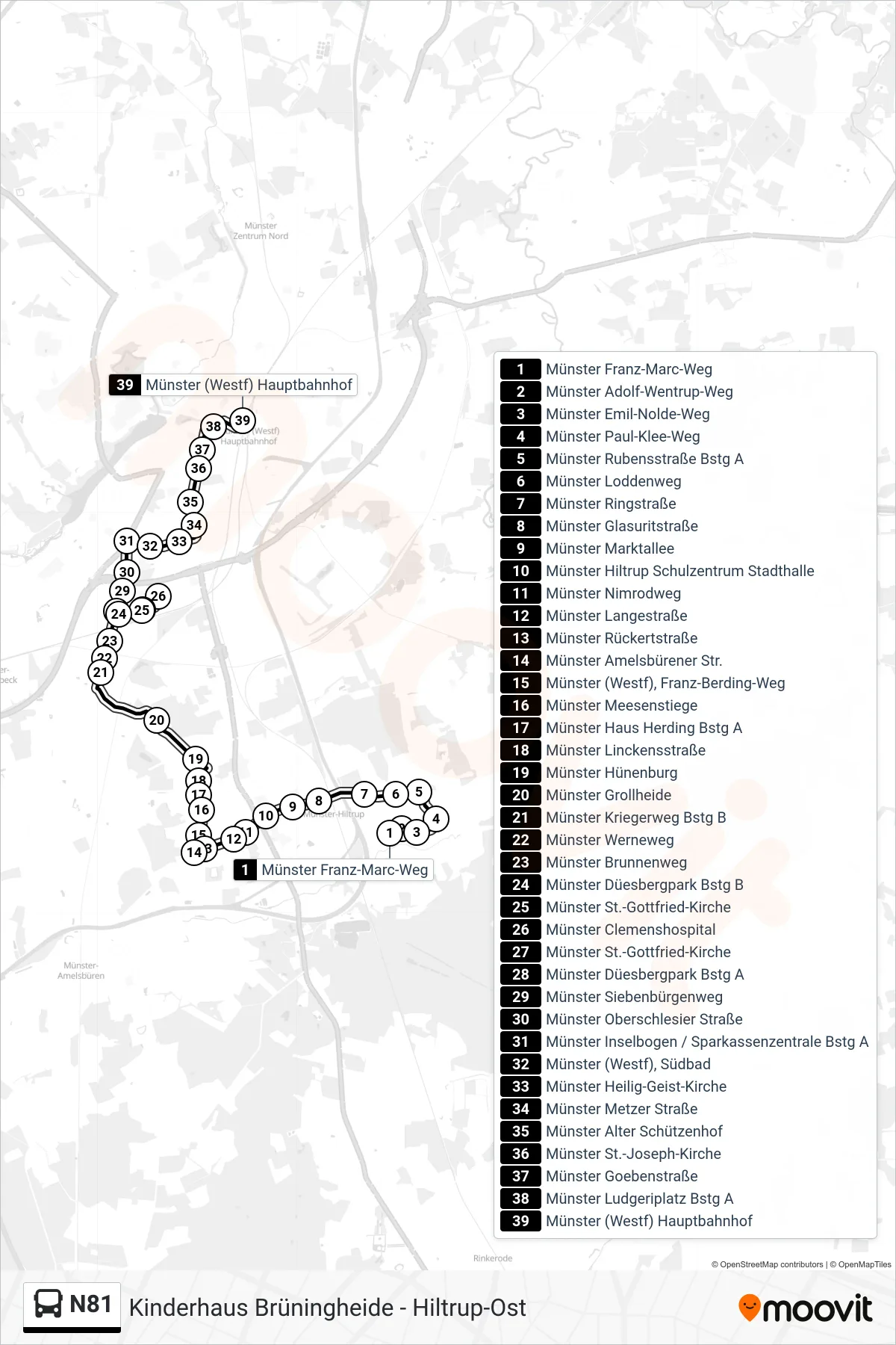
Stops list (N81 - Hauptbahnhof)
- Münster Franz-Marc-Weg
- Münster Adolf-Wentrup-Weg
- Münster Emil-Nolde-Weg
- Münster Paul-Klee-Weg
- Münster Rubensstraße Bstg A
- Münster Loddenweg
- Münster Ringstraße
- Münster Glasuritstraße
- Münster Marktallee
- Münster Hiltrup Schulzentrum Stadthalle
- Münster Nimrodweg
- Münster Langestraße
- Münster Rückertstraße
- Münster Amelsbürener Str.
- Münster (Westf), Franz-Berding-Weg
- Münster Meesenstiege
- Münster Haus Herding Bstg A
- Münster Linckensstraße
- Münster Hünenburg
- Münster Grollheide
- Münster Kriegerweg Bstg B
- Münster Werneweg
- Münster Brunnenweg
- Münster Düesbergpark Bstg B
- Münster St.-Gottfried-Kirche
- Münster Clemenshospital
- Münster St.-Gottfried-Kirche
- Münster Düesbergpark Bstg A
- Münster Siebenbürgenweg
- Münster Oberschlesier Straße
- Münster Inselbogen / Sparkassenzentrale Bstg A
- Münster (Westf), Südbad
- Münster Heilig-Geist-Kirche
- Münster Metzer Straße
- Münster Alter Schützenhof
- Münster St.-Joseph-Kirche
- Münster Goebenstraße
- Münster Ludgeriplatz Bstg A
- Münster (Westf) Hauptbahnhof