
NE16 Bus Route Map
View the NE16 route map and see all NE16 stops along the route. The map of NE16 shows where the bus travels and the location of each stop, making it easy to understand the entire route at a glance.
Explore EVAG Bus routes on the map and see where EVAG Bus bus services operate. Use the NE16 map to find bus stops and see how the NE16 connects different areas along its trip.
All NE16 stops on the map are displayed in route order, helping you follow the NE16 bus from the first stop to the last.
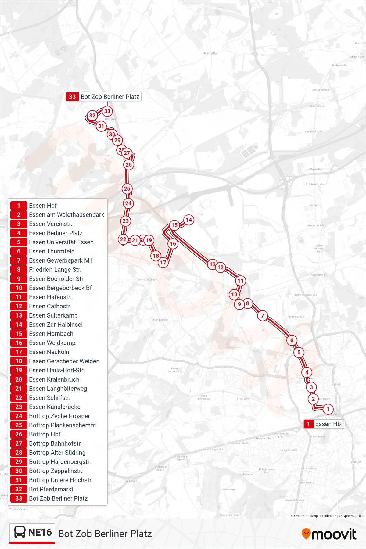
Stops list (NE16 - Bot Zob Berliner Platz)
- Essen Hbf
- Essen am Waldthausenpark
- Essen Vereinstr.
- Essen Berliner Platz
- Essen Universität Essen
- Essen Thurmfeld
- Essen Gewerbepark M1
- Friedrich-Lange-Str.
- Essen Bocholder Str.
- Essen Bergeborbeck Bf
- Essen Hafenstr.
- Essen Cathostr.
- Essen Sulterkamp
- Essen Zur Halbinsel
- Essen Hornbach
- Essen Weidkamp
- Essen Neuköln
- Essen Gerscheder Weiden
- Essen Haus-Horl-Str.
- Essen Kraienbruch
- Essen Langhölterweg
- Essen Schilfstr.
- Essen Kanalbrücke
- Bottrop Zeche Prosper
- Bottrop Plankenschemm
- Bottrop Hbf
- Bottrop Bahnhofstr.
- Bottrop Alter Südring
- Bottrop Hardenbergstr.
- Bottrop Zeppelinstr.
- Bottrop Untere Hochstr.
- Bot Pferdemarkt
- Bot Zob Berliner Platz