
NE27 Bus Route Map
View the NE27 route map and see all NE27 stops along the route. The map of NE27 shows where the bus travels and the location of each stop, making it easy to understand the entire route at a glance.
Explore St. Werke Krefeld routes on the map and see where St. Werke Krefeld bus services operate. Use the NE27 map to find bus stops and see how the NE27 connects different areas along its trip.
All NE27 stops on the map are displayed in route order, helping you follow the NE27 bus from the first stop to the last.
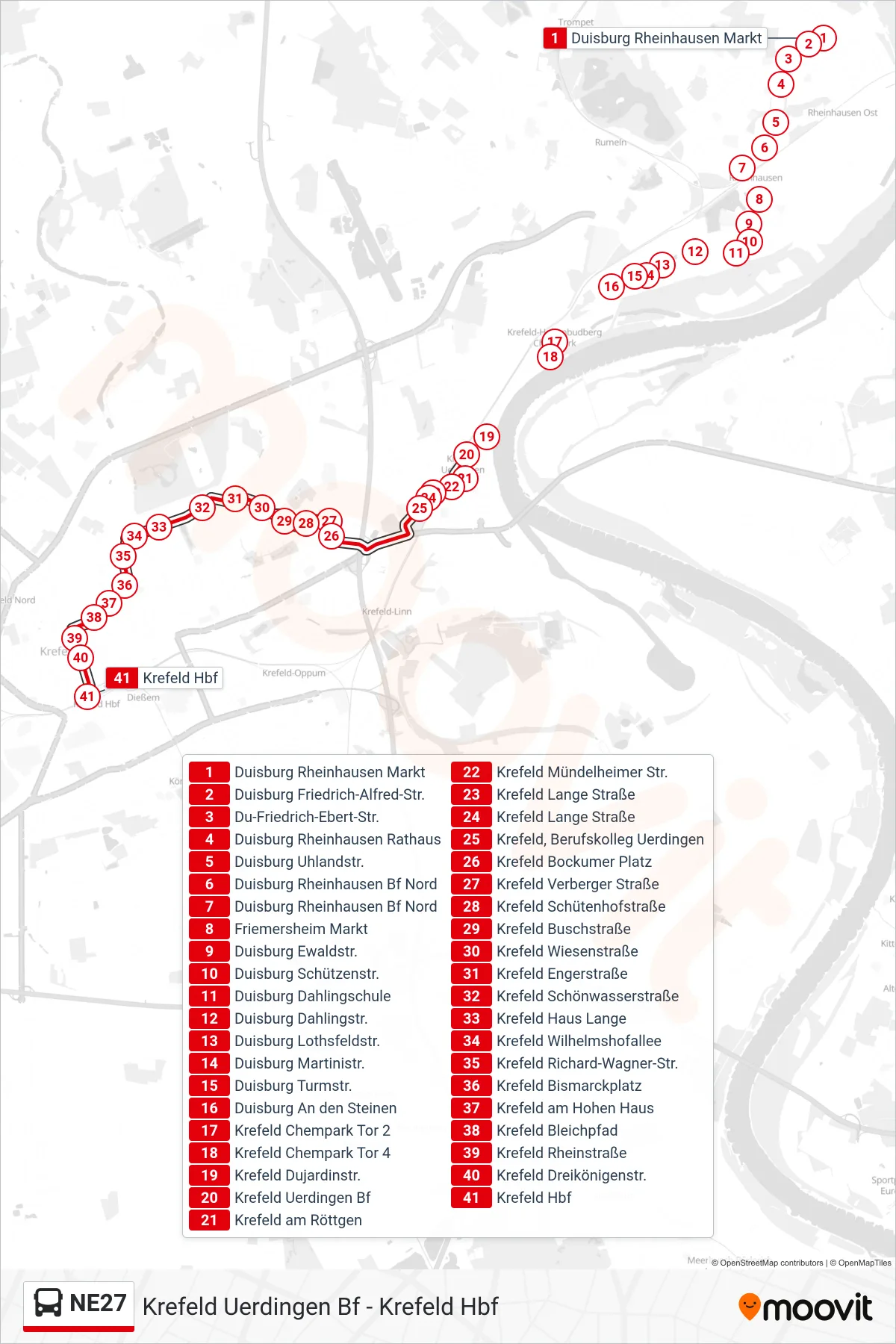
Stops list (NE27 - Krefeld Hbf)
- Duisburg Rheinhausen Markt
- Duisburg Friedrich-Alfred-Str.
- Du-Friedrich-Ebert-Str.
- Duisburg Rheinhausen Rathaus
- Duisburg Uhlandstr.
- Duisburg Rheinhausen Bf Nord
- Duisburg Rheinhausen Bf Nord
- Friemersheim Markt
- Duisburg Ewaldstr.
- Duisburg Schützenstr.
- Duisburg Dahlingschule
- Duisburg Dahlingstr.
- Duisburg Lothsfeldstr.
- Duisburg Martinistr.
- Duisburg Turmstr.
- Duisburg An den Steinen
- Krefeld Chempark Tor 2
- Krefeld Chempark Tor 4
- Krefeld Dujardinstr.
- Krefeld Uerdingen Bf
- Krefeld am Röttgen
- Krefeld Mündelheimer Str.
- Krefeld Lange Straße
- Krefeld Lange Straße
- Krefeld, Berufskolleg Uerdingen
- Krefeld Bockumer Platz
- Krefeld Verberger Straße
- Krefeld Schütenhofstraße
- Krefeld Buschstraße
- Krefeld Wiesenstraße
- Krefeld Engerstraße
- Krefeld Schönwasserstraße
- Krefeld Haus Lange
- Krefeld Wilhelmshofallee
- Krefeld Richard-Wagner-Str.
- Krefeld Bismarckplatz
- Krefeld am Hohen Haus
- Krefeld Bleichpfad
- Krefeld Rheinstraße
- Krefeld Dreikönigenstr.
- Krefeld Hbf