
NE4 Bus Route Map
View the NE4 route map and see all NE4 stops along the route. The map of NE4 shows where the bus travels and the location of each stop, making it easy to understand the entire route at a glance.
Explore HST routes on the map and see where HST bus services operate. Use the NE4 map to find bus stops and see how the NE4 connects different areas along its trip.
All NE4 stops on the map are displayed in route order, helping you follow the NE4 bus from the first stop to the last.
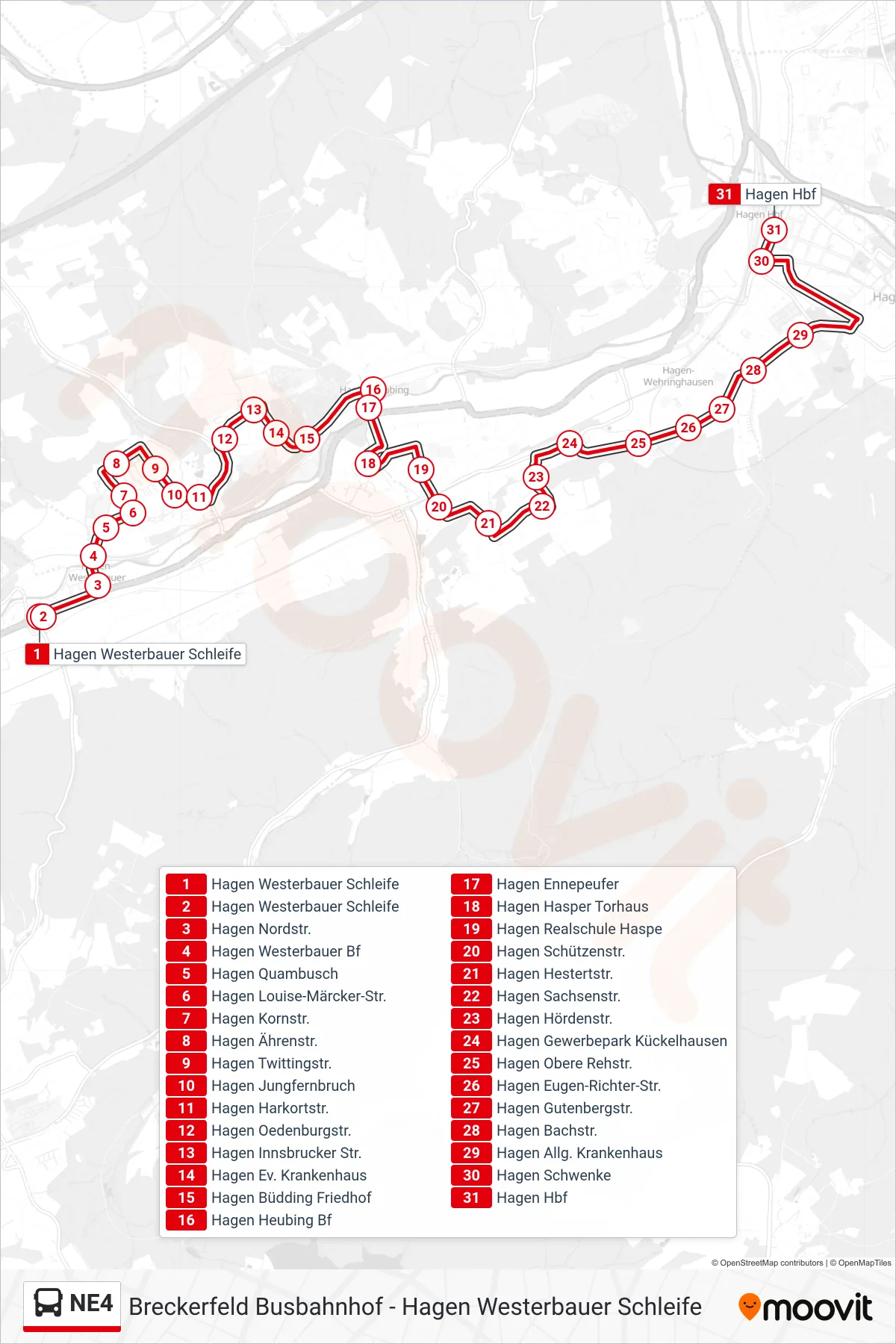
Stops list (NE4 - Hagen Hbf)
- Hagen Westerbauer Schleife
- Hagen Westerbauer Schleife
- Hagen Nordstr.
- Hagen Westerbauer Bf
- Hagen Quambusch
- Hagen Louise-Märcker-Str.
- Hagen Kornstr.
- Hagen Ährenstr.
- Hagen Twittingstr.
- Hagen Jungfernbruch
- Hagen Harkortstr.
- Hagen Oedenburgstr.
- Hagen Innsbrucker Str.
- Hagen Ev. Krankenhaus
- Hagen Büdding Friedhof
- Hagen Heubing Bf
- Hagen Ennepeufer
- Hagen Hasper Torhaus
- Hagen Realschule Haspe
- Hagen Schützenstr.
- Hagen Hestertstr.
- Hagen Sachsenstr.
- Hagen Hördenstr.
- Hagen Gewerbepark Kückelhausen
- Hagen Obere Rehstr.
- Hagen Eugen-Richter-Str.
- Hagen Gutenbergstr.
- Hagen Bachstr.
- Hagen Allg. Krankenhaus
- Hagen Schwenke
- Hagen Hbf