
NL2 Light Rail Route Map
View the NL2 route map and see all NL2 stops along the route. The map of NL2 shows where the light rail travels and the location of each stop, making it easy to understand the entire route at a glance.
Explore Karlsruher Verkehrsverbund routes on the map and see where Karlsruher Verkehrsverbund light rail services operate. Use the NL2 map to find light rail stations and see how the NL2 connects different areas along its trip.
All NL2 stops on the map are displayed in route order, helping you follow the NL2 light rail from the first station to the last.
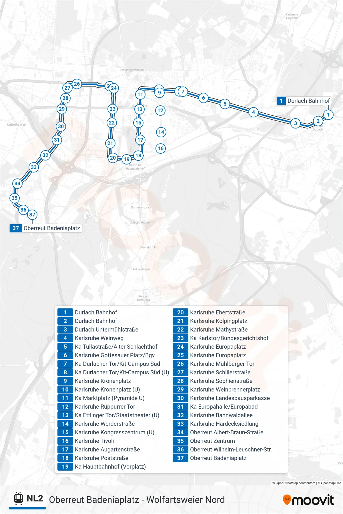
Stops list (NL2 - Oberreut Badeniaplatz)
- Durlach Bahnhof
- Durlach Bahnhof
- Durlach Untermühlstraße
- Karlsruhe Weinweg
- Ka Tullastraße/Alter Schlachthof
- Karlsruhe Gottesauer Platz/Bgv
- Ka Durlacher Tor/Kit-Campus Süd
- Ka Durlacher Tor/Kit-Campus Süd (U)
- Karlsruhe Kronenplatz
- Karlsruhe Kronenplatz (U)
- Ka Marktplatz (Pyramide U)
- Karlsruhe Rüppurrer Tor
- Ka Ettlinger Tor/Staatstheater (U)
- Karlsruhe Werderstraße
- Karlsruhe Kongresszentrum (U)
- Karlsruhe Tivoli
- Karlsruhe Augartenstraße
- Karlsruhe Poststraße
- Ka Hauptbahnhof (Vorplatz)
- Karlsruhe Ebertstraße
- Karlsruhe Kolpingplatz
- Karlsruhe Mathystraße
- Ka Karlstor/Bundesgerichtshof
- Karlsruhe Europaplatz
- Karlsruhe Europaplatz
- Karlsruhe Mühlburger Tor
- Karlsruhe Schillerstraße
- Karlsruhe Sophienstraße
- Karlsruhe Weinbrennerplatz
- Karlsruhe Landesbausparkasse
- Ka Europahalle/Europabad
- Karlsruhe Bannwaldallee
- Karlsruhe Hardecksiedlung
- Oberreut Albert-Braun-Straße
- Oberreut Zentrum
- Oberreut Wilhelm-Leuschner-Str.
- Oberreut Badeniaplatz