
OB1 Bus Route Map
View the OB1 route map and see all OB1 stops along the route. The map of OB1 shows where the bus travels and the location of each stop, making it easy to understand the entire route at a glance.
Explore OnniBus routes on the map and see where OnniBus bus services operate. Use the OB1 map to find bus stops and see how the OB1 connects different areas along its trip.
All OB1 stops on the map are displayed in route order, helping you follow the OB1 bus from the first stop to the last.
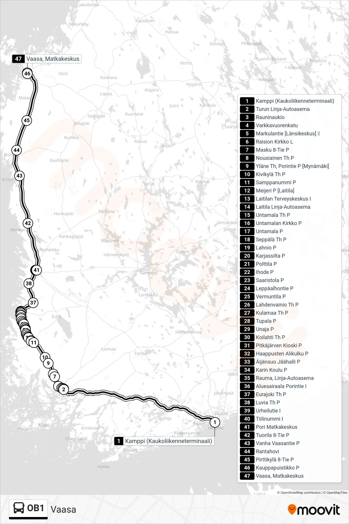
Stops list (OB1 - Vaasa)
- Kamppi (Long-distance Terminal)
- Turku Bus Station
- Rauni Square
- Varkkavuorenkatu
- Markulantie [Länsikeskus] 🛒
- Raision Kirkko L
- Masku Highway 8 North
- Nousiainen Junction North
- Yläne Th, Porintie P [Mynämäki]
- Kivikylä Junction North
- Samppanummi North
- Meijeri P [Laitila]
- Laitila Health Center East
- Laitila Bus Station
- Untamala Junction N
- Untamala Church N
- Untamala N
- Seppälä Junction N
- Lahnio N
- Karjassilta N
- Polttila W
- Ihode N
- Saaristola N
- Leppäalhontie North
- Vermuntila North
- Lahdenvainio Junction N
- Kulamaa Junction N
- Tupala North
- Unaja N
- Koilahti Junction N
- Pitkäjärvi Kiosk North
- Haappusten Underpass North
- Äijänsuo Ice Hall North
- Kari School North
- Rauma Bus Station
- Regional Hospital Pori Road I
- Eurajoki Junction North
- Luvia Junction North
- Urheilutie East
- Tiilinummi E
- Pori Travel Center
- Tuorila 8-Road N
- Old Vaasa Road North
- Rantahovi
- Pirttikylä 8-Road N
- Kauppapuistikko North
- Vaasa Travel Center