
OV7 Bus Route Map
View the OV7 route map and see all OV7 stops along the route. The map of OV7 shows where the bus travels and the location of each stop, making it easy to understand the entire route at a glance.
Explore DB Bahn Rheinlandbus routes on the map and see where DB Bahn Rheinlandbus bus services operate. Use the OV7 map to find bus stops and see how the OV7 connects different areas along its trip.
All OV7 stops on the map are displayed in route order, helping you follow the OV7 bus from the first stop to the last.
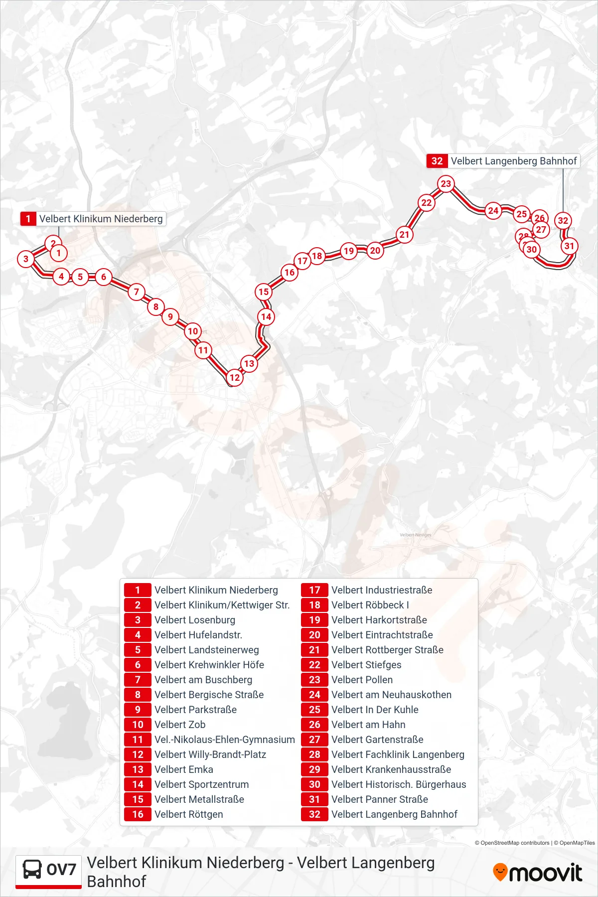
Stops list (OV7 - Velbert Langenberg Bahnhof)
- Velbert Klinikum Niederberg
- Velbert Klinikum/Kettwiger Str.
- Velbert Losenburg
- Velbert Hufelandstr.
- Velbert Landsteinerweg
- Velbert Krehwinkler Höfe
- Velbert am Buschberg
- Velbert Bergische Straße
- Velbert Parkstraße
- Velbert Zob
- Vel.-Nikolaus-Ehlen-Gymnasium
- Velbert Willy-Brandt-Platz
- Velbert Emka
- Velbert Sportzentrum
- Velbert Metallstraße
- Velbert Röttgen
- Velbert Industriestraße
- Velbert Röbbeck I
- Velbert Harkortstraße
- Velbert Eintrachtstraße
- Velbert Rottberger Straße
- Velbert Stiefges
- Velbert Pollen
- Velbert am Neuhauskothen
- Velbert In Der Kuhle
- Velbert am Hahn
- Velbert Gartenstraße
- Velbert Fachklinik Langenberg
- Velbert Krankenhausstraße
- Velbert Historisch. Bürgerhaus
- Velbert Panner Straße
- Velbert Langenberg Bahnhof