
P3 Bus Route Map
View the P3 route map and see all P3 stops along the route. The map of P3 shows where the bus travels and the location of each stop, making it easy to understand the entire route at a glance.
Explore Pittsburgh Regional Transit routes on the map and see where Pittsburgh Regional Transit bus services operate. Use the P3 map to find bus stops and see how the P3 connects different areas along its trip.
All P3 stops on the map are displayed in route order, helping you follow the P3 bus from the first stop to the last.
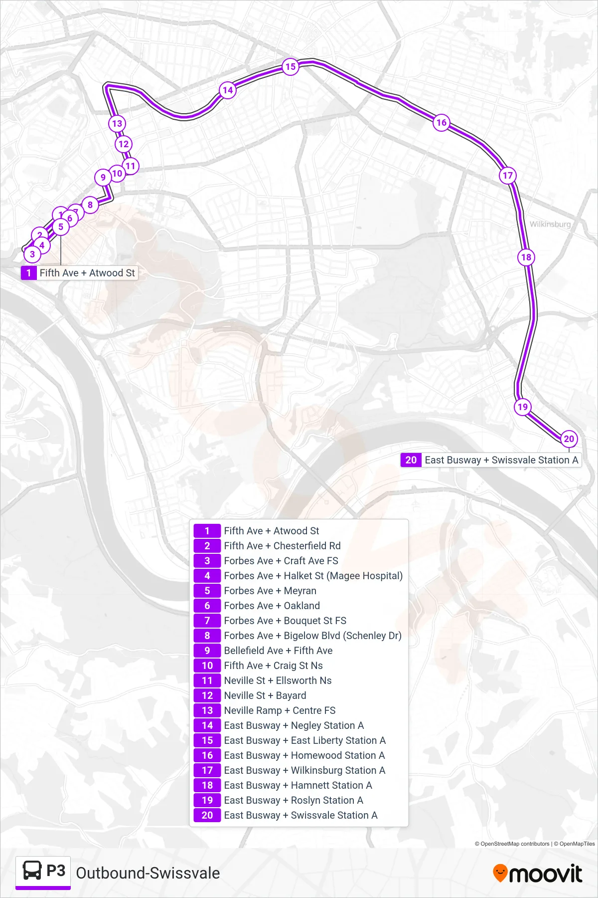
Stops list (P3 - Outbound-Swissvale)
- Fifth Ave + Atwood St
- Fifth Ave + Chesterfield Rd
- Forbes Ave + Craft Ave FS
- Forbes Ave + Halket St (Magee Hospital)
- Forbes Ave + Meyran
- Forbes Ave + Oakland
- Forbes Ave + Bouquet St FS
- Forbes Ave + Bigelow Blvd (Schenley Dr)
- Bellefield Ave + Fifth Ave
- Fifth Ave + Craig St Ns
- Neville St + Ellsworth Ns
- Neville St + Bayard
- Neville Ramp + Centre FS
- East Busway + Negley Station A
- East Busway + East Liberty Station A
- East Busway + Homewood Station A
- East Busway + Wilkinsburg Station A
- East Busway + Hamnett Station A
- East Busway + Roslyn Station A
- East Busway + Swissvale Station A