
P33 Bus Route Map
View the P33 route map and see all P33 stops along the route. The map of P33 shows where the bus travels and the location of each stop, making it easy to understand the entire route at a glance.
Explore WMATA routes on the map and see where WMATA bus services operate. Use the P33 map to find bus stops and see how the P33 connects different areas along its trip.
All P33 stops on the map are displayed in route order, helping you follow the P33 bus from the first stop to the last.
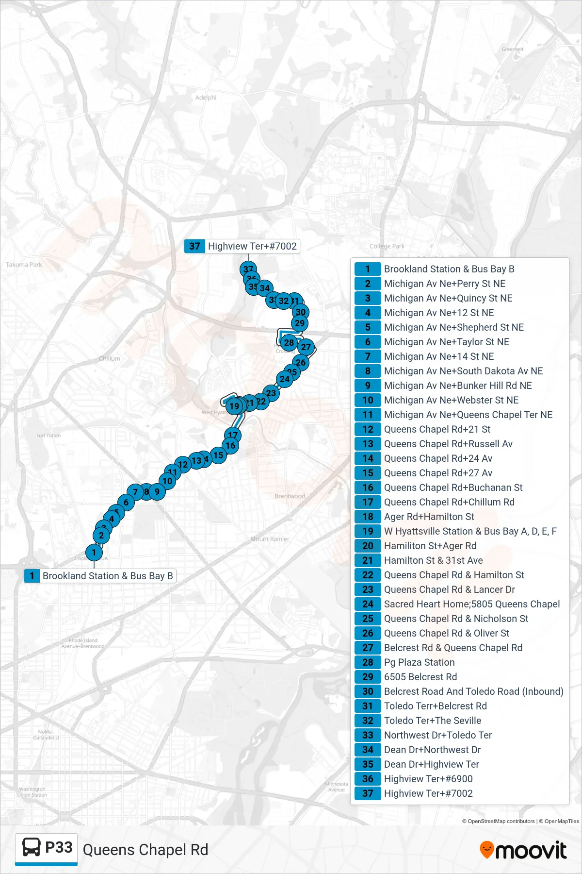
Stops list (P33 - North To Highview)
- Brookland Station & Bus Bay B
- Michigan Av Ne+Perry St NE
- Michigan Av Ne+Quincy St NE
- Michigan Av Ne+12 St NE
- Michigan Av Ne+Shepherd St NE
- Michigan Av Ne+Taylor St NE
- Michigan Av Ne+14 St NE
- Michigan Av Ne+South Dakota Av NE
- Michigan Av Ne+Bunker Hill Rd NE
- Michigan Av Ne+Webster St NE
- Michigan Av Ne+Queens Chapel Ter NE
- Queens Chapel Rd+21 St
- Queens Chapel Rd+Russell Av
- Queens Chapel Rd+24 Av
- Queens Chapel Rd+27 Av
- Queens Chapel Rd+Buchanan St
- Queens Chapel Rd+Chillum Rd
- Ager Rd+Hamilton St
- W Hyattsville Station & Bus Bay A, D, E, F
- Hamiliton St+Ager Rd
- Hamilton St & 31st Ave
- Queens Chapel Rd & Hamilton St
- Queens Chapel Rd & Lancer Dr
- Sacred Heart Home;5805 Queens Chapel
- Queens Chapel Rd & Nicholson St
- Queens Chapel Rd & Oliver St
- Belcrest Rd & Queens Chapel Rd
- Pg Plaza Station
- 6505 Belcrest Rd
- Belcrest Road And Toledo Road (Inbound)
- Toledo Terr+Belcrest Rd
- Toledo Ter+The Seville
- Northwest Dr+Toledo Ter
- Dean Dr+Northwest Dr
- Dean Dr+Highview Ter
- Highview Ter+#6900
- Highview Ter+#7002