
R Bus Route Map
View the R route map and see all R stops along the route. The map of R shows where the bus travels and the location of each stop, making it easy to understand the entire route at a glance.
Explore Metro Transit-City of Madison routes on the map and see where Metro Transit-City of Madison bus services operate. Use the R map to find bus stops and see how the R connects different areas along its trip.
All R stops on the map are displayed in route order, helping you follow the R bus from the first stop to the last.
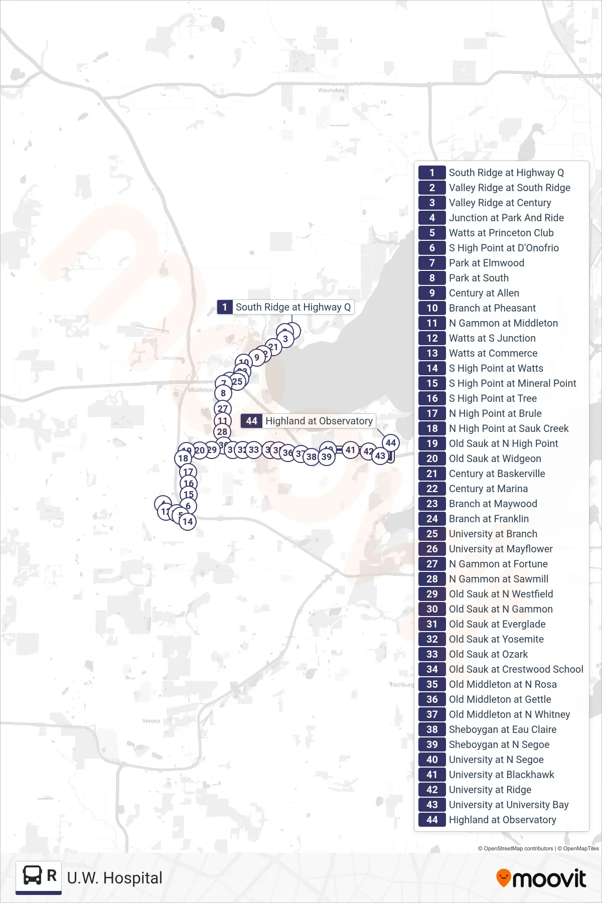
Stops list (R - U.W. Hospital)
- South Ridge at Highway Q
- Valley Ridge at South Ridge
- Valley Ridge at Century
- Junction at Park And Ride
- Watts at Princeton Club
- S High Point at D'Onofrio
- Park at Elmwood
- Park at South
- Century at Allen
- Branch at Pheasant
- N Gammon at Middleton
- Watts at S Junction
- Watts at Commerce
- S High Point at Watts
- S High Point at Mineral Point
- S High Point at Tree
- N High Point at Brule
- N High Point at Sauk Creek
- Old Sauk at N High Point
- Old Sauk at Widgeon
- Century at Baskerville
- Century at Marina
- Branch at Maywood
- Branch at Franklin
- University at Branch
- University at Mayflower
- N Gammon at Fortune
- N Gammon at Sawmill
- Old Sauk at N Westfield
- Old Sauk at N Gammon
- Old Sauk at Everglade
- Old Sauk at Yosemite
- Old Sauk at Ozark
- Old Sauk at Crestwood School
- Old Middleton at N Rosa
- Old Middleton at Gettle
- Old Middleton at N Whitney
- Sheboygan at Eau Claire
- Sheboygan at N Segoe
- University at N Segoe
- University at Blackhawk
- University at Ridge
- University at University Bay
- Highland at Observatory