
R Bus Route Map
View the R route map and see all R stops along the route. The map of R shows where the bus travels and the location of each stop, making it easy to understand the entire route at a glance.
Explore IVB und Stubaitalbahn GmbH routes on the map and see where IVB und Stubaitalbahn GmbH bus services operate. Use the R map to find bus stops and see how the R connects different areas along its trip.
All R stops on the map are displayed in route order, helping you follow the R bus from the first stop to the last.
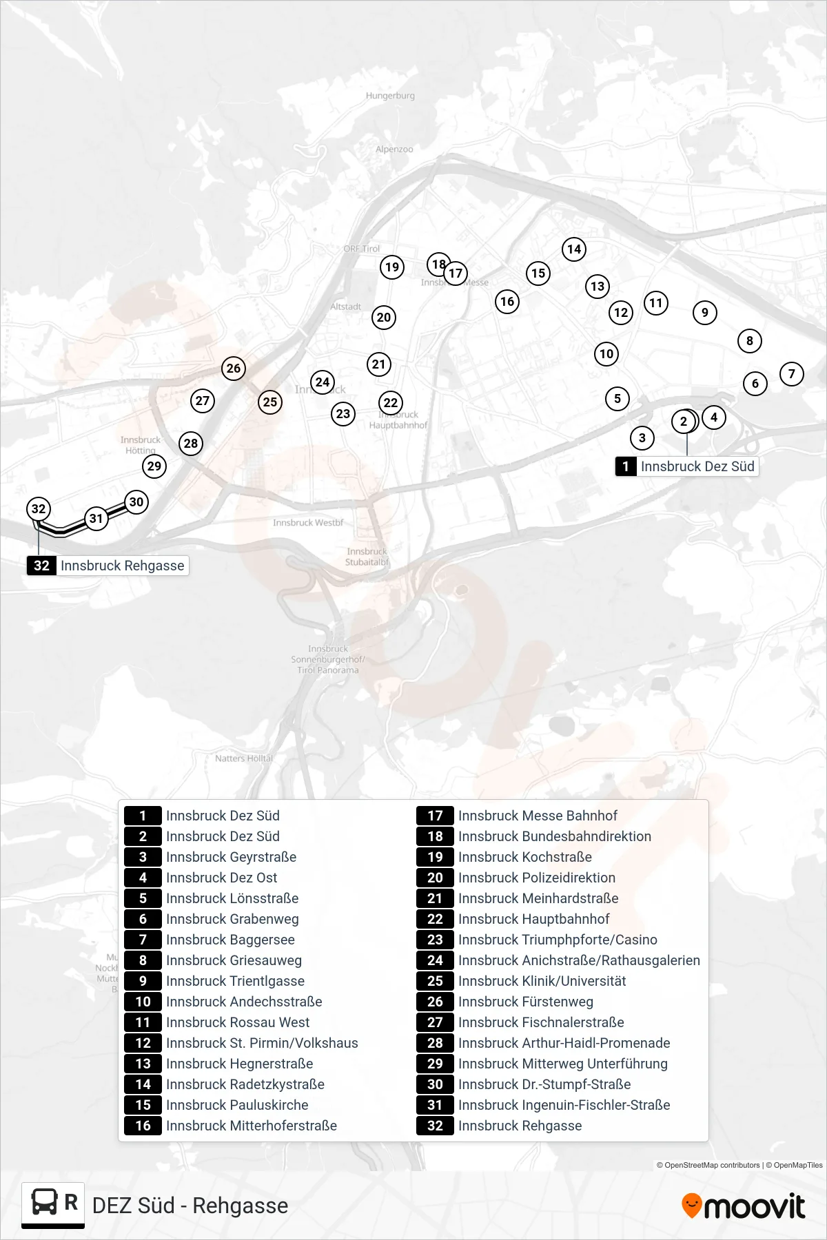
Stops list (R - Innsbruck Rehgasse)
- Innsbruck Dez Süd
- Innsbruck Dez Süd
- Innsbruck Geyrstraße
- Innsbruck Dez Ost
- Innsbruck Lönsstraße
- Innsbruck Grabenweg
- Innsbruck Baggersee
- Innsbruck Griesauweg
- Innsbruck Trientlgasse
- Innsbruck Andechsstraße
- Innsbruck Rossau West
- Innsbruck St. Pirmin/Volkshaus
- Innsbruck Hegnerstraße
- Innsbruck Radetzkystraße
- Innsbruck Pauluskirche
- Innsbruck Mitterhoferstraße
- Innsbruck Messe Bahnhof
- Innsbruck Bundesbahndirektion
- Innsbruck Kochstraße
- Innsbruck Polizeidirektion
- Innsbruck Meinhardstraße
- Innsbruck Hauptbahnhof
- Innsbruck Triumphpforte/Casino
- Innsbruck Anichstraße/Rathausgalerien
- Innsbruck Klinik/Universität
- Innsbruck Fürstenweg
- Innsbruck Fischnalerstraße
- Innsbruck Arthur-Haidl-Promenade
- Innsbruck Mitterweg Unterführung
- Innsbruck Dr.-Stumpf-Straße
- Innsbruck Ingenuin-Fischler-Straße
- Innsbruck Rehgasse