
R10 Bus Route Map
View the R10 route map and see all R10 stops along the route. The map of R10 shows where the bus travels and the location of each stop, making it easy to understand the entire route at a glance.
Explore Verkehrsbetriebe Westfalen-Süd routes on the map and see where Verkehrsbetriebe Westfalen-Süd bus services operate. Use the R10 map to find bus stops and see how the R10 connects different areas along its trip.
All R10 stops on the map are displayed in route order, helping you follow the R10 bus from the first stop to the last.
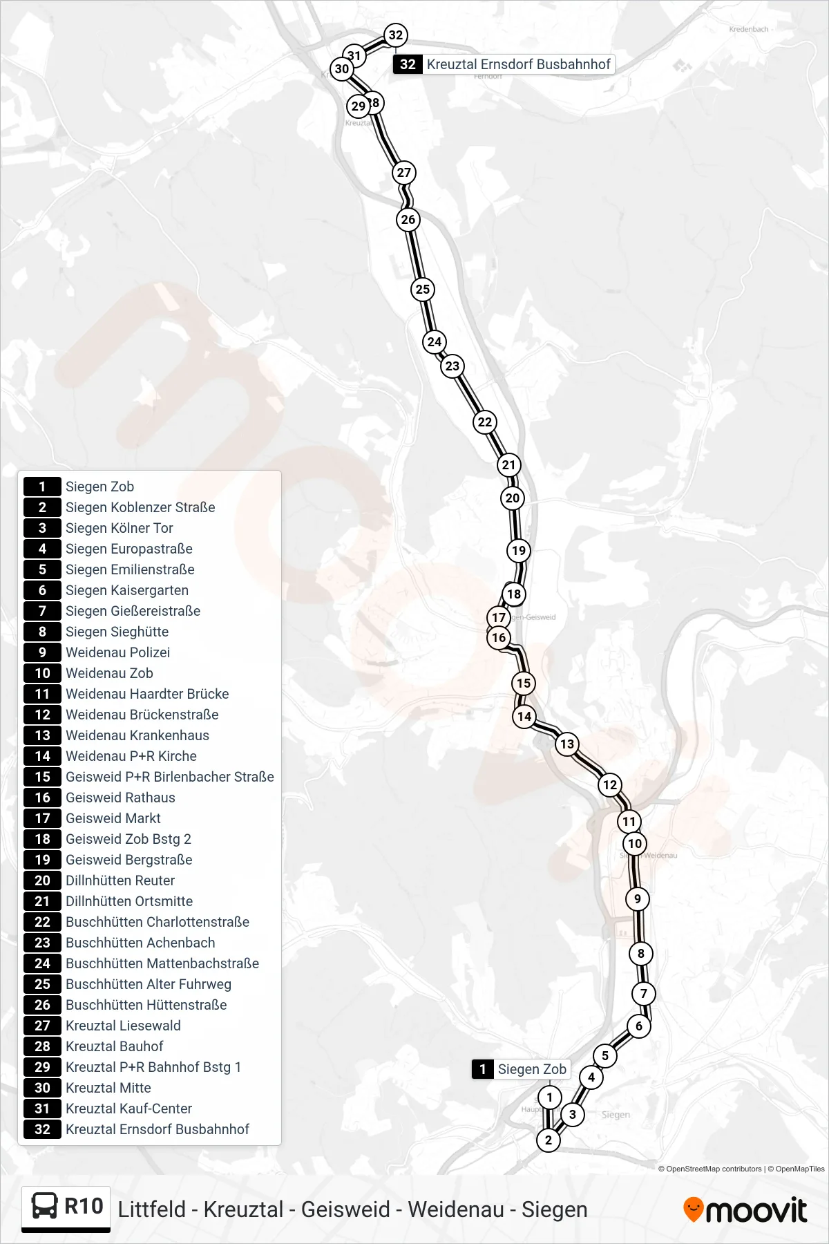
Stops list (R10 - Kreuztal Ernsdorf Busbahnhof)
- Siegen Zob
- Siegen Koblenzer Straße
- Siegen Kölner Tor
- Siegen Europastraße
- Siegen Emilienstraße
- Siegen Kaisergarten
- Siegen Gießereistraße
- Siegen Sieghütte
- Weidenau Polizei
- Weidenau Zob
- Weidenau Haardter Brücke
- Weidenau Brückenstraße
- Weidenau Krankenhaus
- Weidenau P+R Kirche
- Geisweid P+R Birlenbacher Straße
- Geisweid Rathaus
- Geisweid Markt
- Geisweid Zob Bstg 2
- Geisweid Bergstraße
- Dillnhütten Reuter
- Dillnhütten Ortsmitte
- Buschhütten Charlottenstraße
- Buschhütten Achenbach
- Buschhütten Mattenbachstraße
- Buschhütten Alter Fuhrweg
- Buschhütten Hüttenstraße
- Kreuztal Liesewald
- Kreuztal Bauhof
- Kreuztal P+R Bahnhof Bstg 1
- Kreuztal Mitte
- Kreuztal Kauf-Center
- Kreuztal Ernsdorf Busbahnhof