
R50 Bus Route Map
View the R50 route map and see all R50 stops along the route. The map of R50 shows where the bus travels and the location of each stop, making it easy to understand the entire route at a glance.
Explore Verkehrsbetriebe Westfalen-Süd routes on the map and see where Verkehrsbetriebe Westfalen-Süd bus services operate. Use the R50 map to find bus stops and see how the R50 connects different areas along its trip.
All R50 stops on the map are displayed in route order, helping you follow the R50 bus from the first stop to the last.
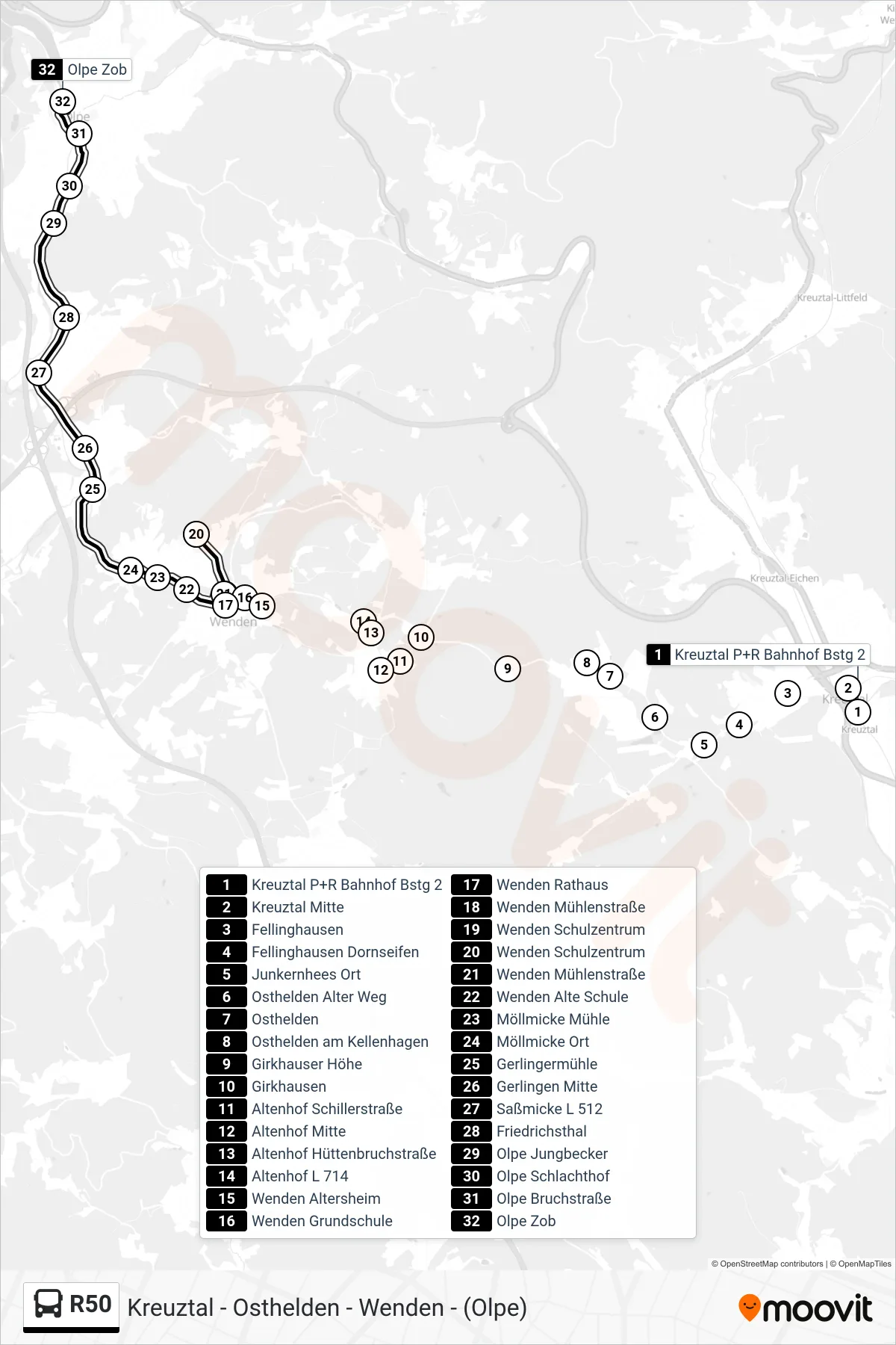
Stops list (R50 - Olpe Zob Bstg 10)
- Kreuztal P+R Bahnhof Bstg 2
- Kreuztal Mitte
- Fellinghausen
- Fellinghausen Dornseifen
- Junkernhees Ort
- Osthelden Alter Weg
- Osthelden
- Osthelden am Kellenhagen
- Girkhauser Höhe
- Girkhausen
- Altenhof Schillerstraße
- Altenhof Mitte
- Altenhof Hüttenbruchstraße
- Altenhof L 714
- Wenden Altersheim
- Wenden Grundschule
- Wenden Rathaus
- Wenden Mühlenstraße
- Wenden Schulzentrum
- Wenden Schulzentrum
- Wenden Mühlenstraße
- Wenden Alte Schule
- Möllmicke Mühle
- Möllmicke Ort
- Gerlingermühle
- Gerlingen Mitte
- Saßmicke L 512
- Friedrichsthal
- Olpe Jungbecker
- Olpe Schlachthof
- Olpe Bruchstraße
- Olpe Zob