
R90 Bus Route Map
View the R90 route map and see all R90 stops along the route. The map of R90 shows where the bus travels and the location of each stop, making it easy to understand the entire route at a glance.
Explore Verkehrsbetriebe Westfalen-Süd routes on the map and see where Verkehrsbetriebe Westfalen-Süd bus services operate. Use the R90 map to find bus stops and see how the R90 connects different areas along its trip.
All R90 stops on the map are displayed in route order, helping you follow the R90 bus from the first stop to the last.
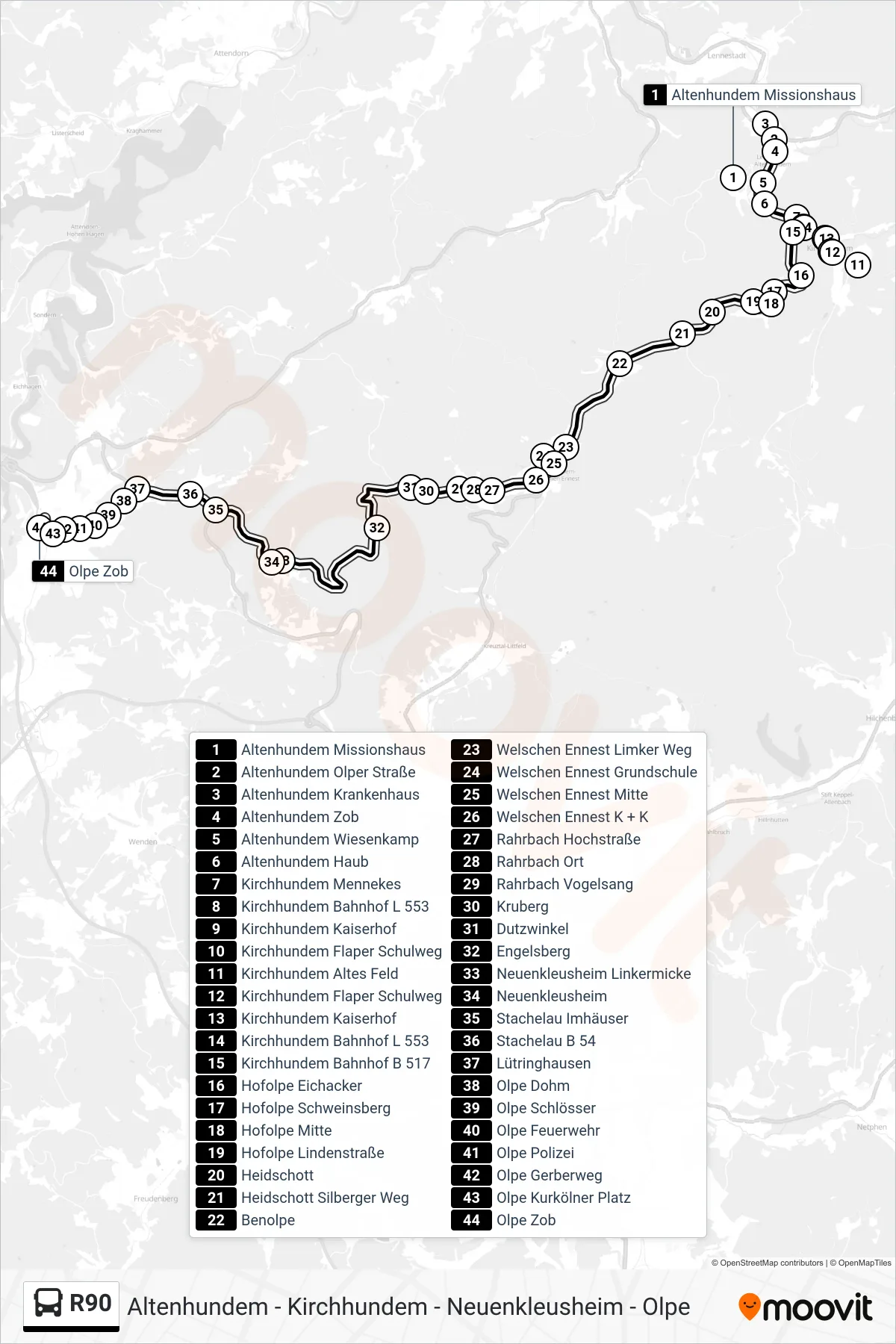
Stops list (R90 - Olpe Zob Bstg 9)
- Altenhundem Missionshaus
- Altenhundem Olper Straße
- Altenhundem Krankenhaus
- Altenhundem Zob
- Altenhundem Wiesenkamp
- Altenhundem Haub
- Kirchhundem Mennekes
- Kirchhundem Bahnhof L 553
- Kirchhundem Kaiserhof
- Kirchhundem Flaper Schulweg
- Kirchhundem Altes Feld
- Kirchhundem Flaper Schulweg
- Kirchhundem Kaiserhof
- Kirchhundem Bahnhof L 553
- Kirchhundem Bahnhof B 517
- Hofolpe Eichacker
- Hofolpe Schweinsberg
- Hofolpe Mitte
- Hofolpe Lindenstraße
- Heidschott
- Heidschott Silberger Weg
- Benolpe
- Welschen Ennest Limker Weg
- Welschen Ennest Grundschule
- Welschen Ennest Mitte
- Welschen Ennest K + K
- Rahrbach Hochstraße
- Rahrbach Ort
- Rahrbach Vogelsang
- Kruberg
- Dutzwinkel
- Engelsberg
- Neuenkleusheim Linkermicke
- Neuenkleusheim
- Stachelau Imhäuser
- Stachelau B 54
- Lütringhausen
- Olpe Dohm
- Olpe Schlösser
- Olpe Feuerwehr
- Olpe Polizei
- Olpe Gerberweg
- Olpe Kurkölner Platz
- Olpe Zob