
S2 S-Bahn Route Map
View the S2 route map and see all S2 stops along the route. The map of S2 shows where the S-Bahn travels and the location of each stop, making it easy to understand the entire route at a glance.
Explore S-Bahn Stuttgart routes on the map and see where S-Bahn Stuttgart S-Bahn services operate. Use the S2 map to find S-Bahn stations and see how the S2 connects different areas along its trip.
All S2 stops on the map are displayed in route order, helping you follow the S2 S-Bahn from the first station to the last.
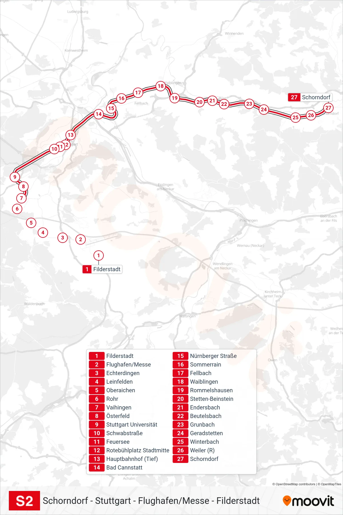
Stops list (S2 - Schorndorf)
- Filderstadt
- Flughafen/Messe
- Echterdingen
- Leinfelden
- Oberaichen
- Rohr
- Vaihingen
- Österfeld
- Stuttgart Universität
- Schwabstraße
- Feuersee
- Rotebühlplatz Stadtmitte
- Hauptbahnhof (Tief)
- Bad Cannstatt
- Nürnberger Straße
- Sommerrain
- Fellbach
- Waiblingen
- Rommelshausen
- Stetten-Beinstein
- Endersbach
- Beutelsbach
- Grunbach
- Geradstetten
- Winterbach
- Weiler (R)
- Schorndorf