
S6 Bus Route Map
View the S6 route map and see all S6 stops along the route. The map of S6 shows where the bus travels and the location of each stop, making it easy to understand the entire route at a glance.
Explore Go-Ahead Ireland routes on the map and see where Go-Ahead Ireland bus services operate. Use the S6 map to find bus stops and see how the S6 connects different areas along its trip.
All S6 stops on the map are displayed in route order, helping you follow the S6 bus from the first stop to the last.
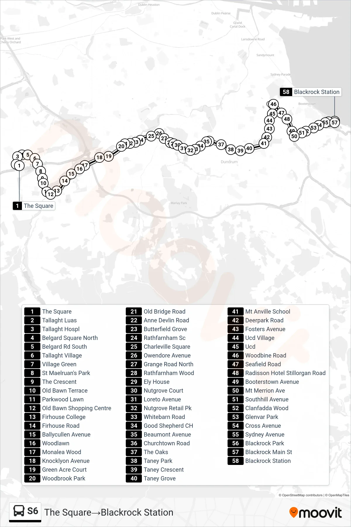
Stops list (S6 - The Square→Blackrock Station)
- The Square
- Tallaght Luas
- Tallaght Hospl
- Belgard Square North
- Belgard Rd South
- Tallaght Village
- Village Green
- St Maelruan's Park
- The Crescent
- Old Bawn Terrace
- Parkwood Lawn
- Old Bawn Shopping Centre
- Firhouse College
- Firhouse Road
- Ballycullen Avenue
- Woodlawn
- Monalea Wood
- Knocklyon Avenue
- Green Acre Court
- Woodbrook Park
- Old Bridge Road
- Anne Devlin Road
- Butterfield Grove
- Rathfarnham Sc
- Charleville Square
- Owendore Avenue
- Grange Road North
- Rathfarnham Wood
- Ely House
- Nutgrove Court
- Loreto Avenue
- Nutgrove Retail Pk
- Whitebarn Road
- Good Shepherd CH
- Beaumont Avenue
- Churchtown Road
- The Oaks
- Taney Park
- Taney Crescent
- Taney Grove
- Mt Anville School
- Deerpark Road
- Fosters Avenue
- Ucd Village
- Ucd
- Woodbine Road
- Seafield Road
- Radisson Hotel Stillorgan Road
- Booterstown Avenue
- Mt Merrion Ave
- Southhill Avenue
- Clanfadda Wood
- Glenvar Park
- Cross Avenue
- Sydney Avenue
- Blackrock Park
- Blackrock Main St
- Blackrock Station