
SA3 Bus Route Map
View the SA3 route map and see all SA3 stops along the route. The map of SA3 shows where the bus travels and the location of each stop, making it easy to understand the entire route at a glance.
Explore ATMA S.c.p.a. routes on the map and see where ATMA S.c.p.a. bus services operate. Use the SA3 map to find bus stops and see how the SA3 connects different areas along its trip.
All SA3 stops on the map are displayed in route order, helping you follow the SA3 bus from the first stop to the last.
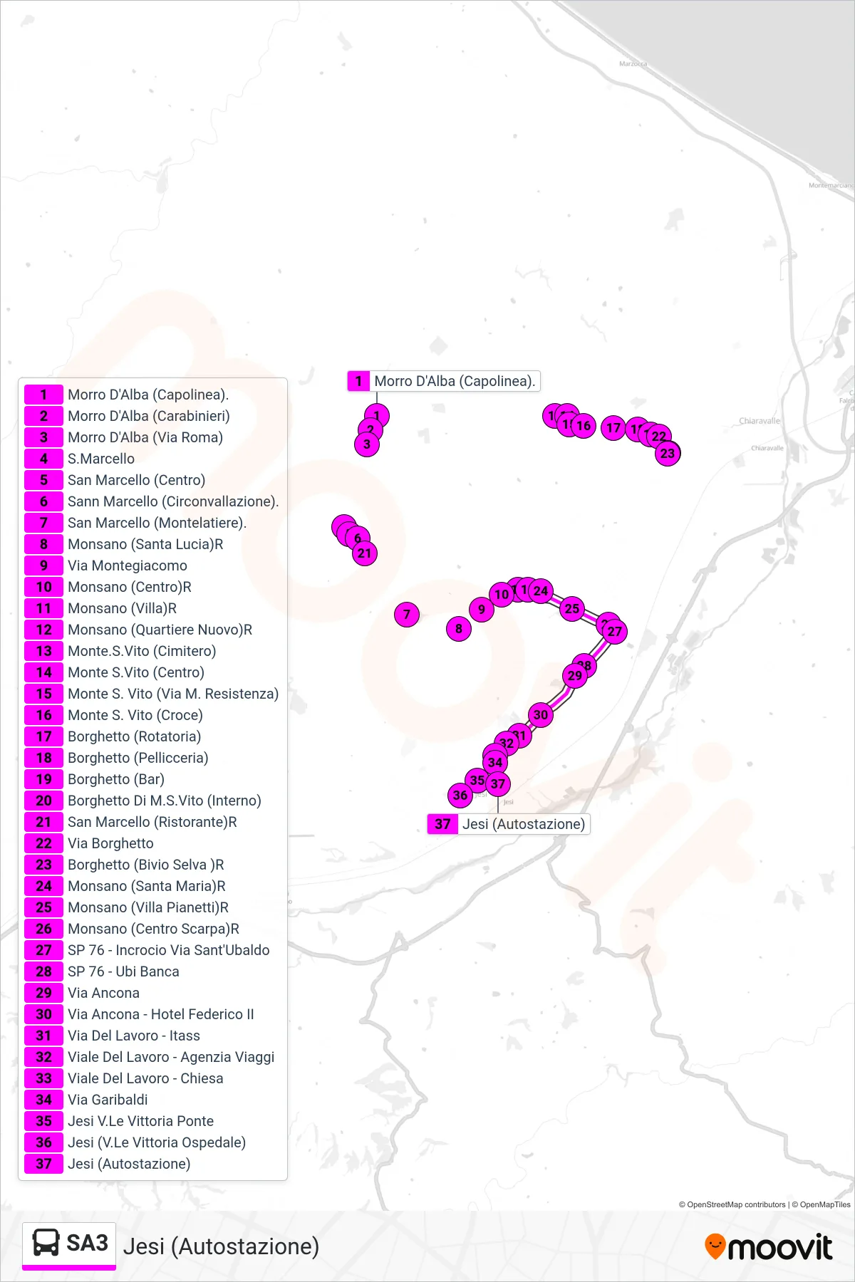
Stops list (SA3 - Jesi (Bus Station))
- Morro D'Alba (Terminal)
- Morro D'Alba (Police Station)
- Morro D'Alba (Roma Street)
- San Marcello
- San Marcello (Center)
- San Marcello (Ring Road)
- San Marcello (Montelatiere)
- Monsano (Santa Lucia)R
- Montegiacomo Street
- Monsano (Center) R
- Monsano (Villa)R
- Monsano (New Quarter)
- Monte San Vito (Cemetery)
- Monte San Vito (Center)
- Monte S. Vito (Resistance Martyrs Street)
- Monte S. Vito (Cross)
- Borghetto (Roundabout)
- Borghetto (Fur Shop)
- Borghetto (Bar)
- Borghetto Di M.S.Vito (Interior)
- San Marcello (Restaurant)R
- Borghetto Street
- Borghetto (Selva Junction) Return
- Monsano (Santa Maria)R
- Monsano (Villa Pianetti)
- Monsano (Shoe Center)R
- Provincial Road 76 - Sant'Ubaldo Street Junction
- SP 76 - Ubi Bank
- Ancona Street
- Ancona Street - Federico II Hotel
- Via Del Lavoro - ITASS
- Work Avenue - Travel Agency
- Labor Avenue - Church
- Garibaldi Street
- Jesi Victory Avenue Bridge
- Jesi (Victory Avenue Hospital)
- Jesi (Bus Station)