
T Bus Route Map
View the T route map and see all T stops along the route. The map of T shows where the bus travels and the location of each stop, making it easy to understand the entire route at a glance.
Explore ASTRAL routes on the map and see where ASTRAL bus services operate. Use the T map to find bus stops and see how the T connects different areas along its trip.
All T stops on the map are displayed in route order, helping you follow the T bus from the first stop to the last.
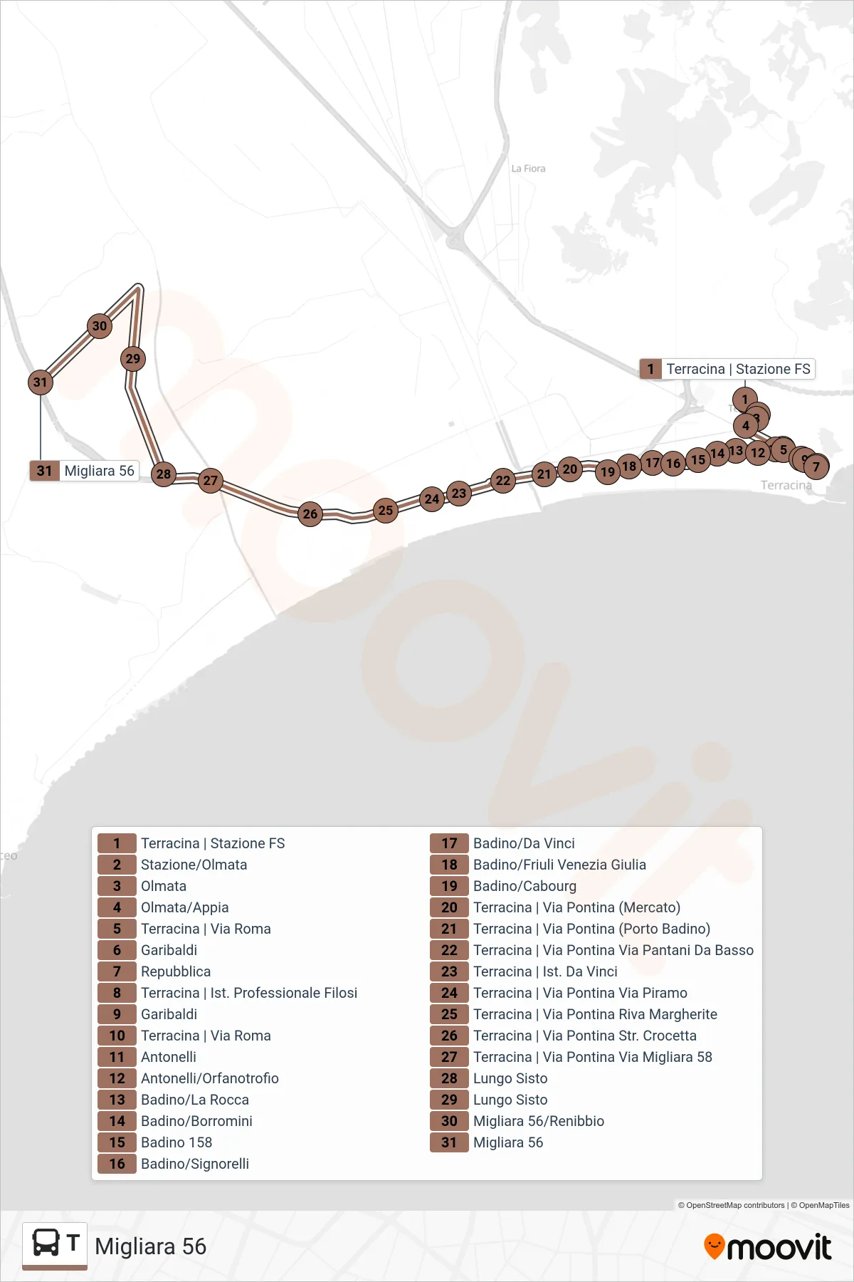
Stops list (T - Migliara 56)
- Terracina Railway Station
- Stazione/Olmata
- Olmata
- Olmata/Appia
- Terracina | Rome Street
- Garibaldi
- Republic
- Terracina | Filosi Professional Institute
- Garibaldi
- Terracina | Rome Street
- Antonelli
- Antonelli/Orphanage
- Badino/La Rocca
- Badino/Borromini
- Badino 158
- Badino/Signorelli
- Badino/Da Vinci
- Badino/Friuli Venezia Giulia
- Badino/Cabourg
- Terracina | Pontina Road (Market)
- Terracina - Via Pontina (Porto Badino)
- Terracina | Pontina Street Pantani Da Basso Street
- Terracina | Da Vinci Institute
- Terracina | Pontina Street Piramo Street
- Terracina | Via Pontina Riva Margherite
- Terracina | Via Pontina Crocetta Road
- Terracina | Pontina Road Migliara 58
- Lungo Sisto
- Lungo Sisto
- Migliara 56/Renibbio
- Migliara 56