
TERESÓPOLIS - CASTELO Bus Route Map
View the TERESÓPOLIS - CASTELO route map and see all TERESÓPOLIS - CASTELO stops along the route. The map of TERESÓPOLIS - CASTELO shows where the bus travels and the location of each stop, making it easy to understand the entire route at a glance.
Explore Viação Teresópolis routes on the map and see where Viação Teresópolis bus services operate. Use the TERESÓPOLIS - CASTELO map to find bus stops and see how the TERESÓPOLIS - CASTELO connects different areas along its trip.
All TERESÓPOLIS - CASTELO stops on the map are displayed in route order, helping you follow the TERESÓPOLIS - CASTELO bus from the first stop to the last.
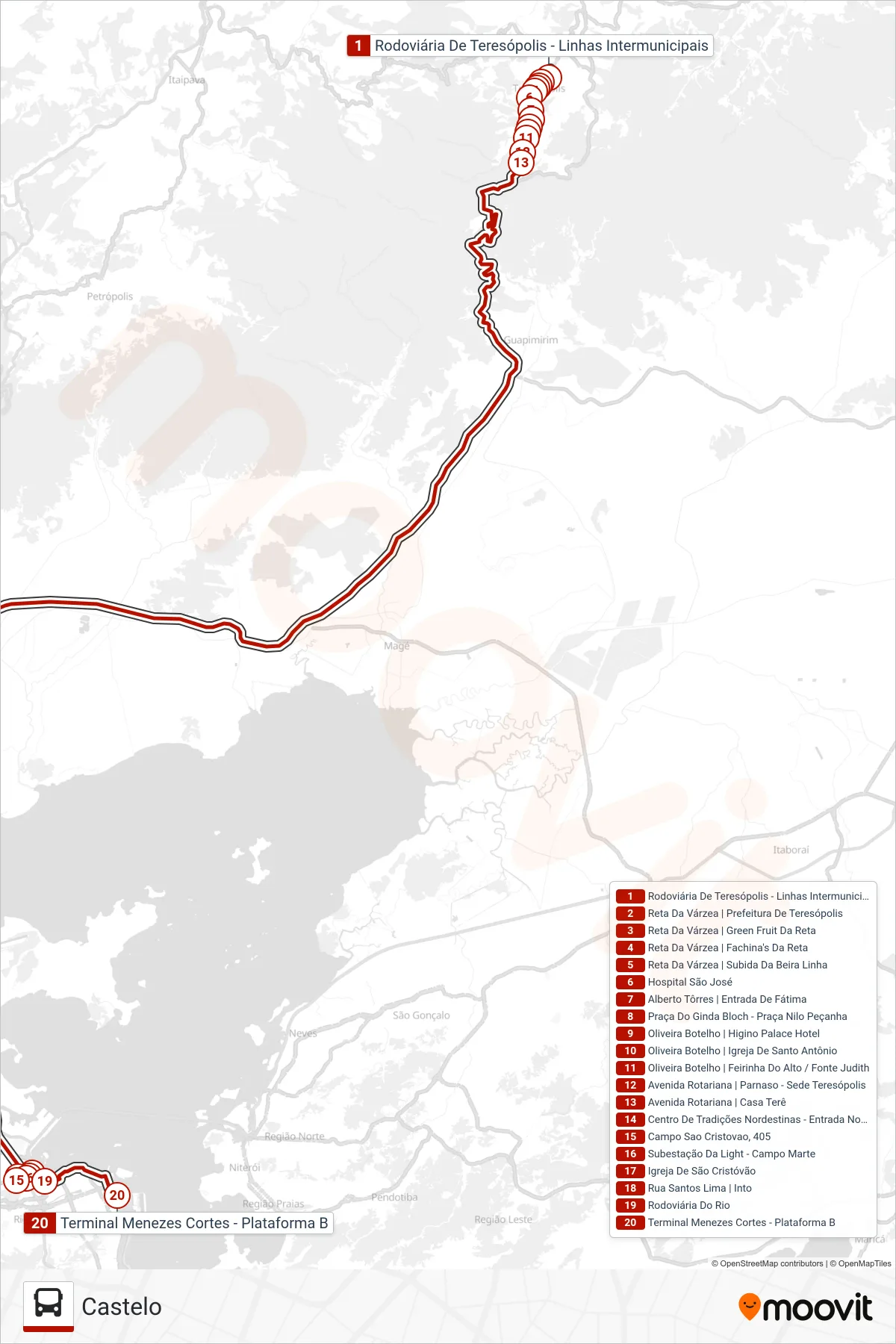
Stops list (TERESÓPOLIS - CASTELO - Castelo)
- Rodoviária De Teresópolis - Linhas Intermunicipais
- Reta Da Várzea | Prefeitura De Teresópolis
- Reta Da Várzea | Green Fruit Da Reta
- Reta Da Várzea | Fachina's Da Reta
- Reta Da Várzea | Subida Da Beira Linha
- Hospital São José
- Alberto Tôrres | Entrada De Fátima
- Praça Do Ginda Bloch - Praça Nilo Peçanha
- Oliveira Botelho | Higino Palace Hotel
- Oliveira Botelho | Igreja De Santo Antônio
- Oliveira Botelho | Feirinha Do Alto / Fonte Judith
- Avenida Rotariana | Parnaso - Sede Teresópolis
- Avenida Rotariana | Casa Terê
- Centro De Tradições Nordestinas - Entrada Norte
- Campo Sao Cristovao, 405
- Subestação Da Light - Campo Marte
- Igreja De São Cristóvão
- Rua Santos Lima | Into
- Rodoviária Do Rio
- Terminal Menezes Cortes - Plataforma B