
W Light Rail Route Map
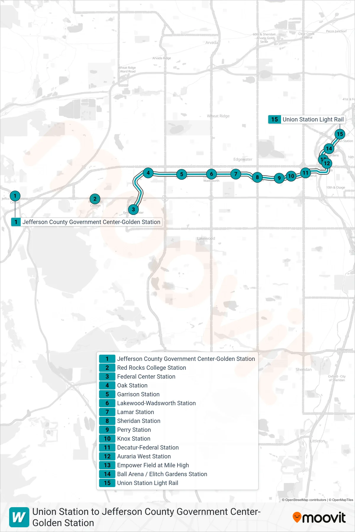
View the W route map and see all W stops along the route. The map of W shows where the light rail travels and the location of each stop, making it easy to understand the entire route at a glance.
Explore Regional Transportation District routes on the map and see where Regional Transportation District light rail services operate. Use the W map to find light rail stations and see how the W connects different areas along its trip.
All W stops on the map are displayed in route order, helping you follow the W light rail from the first station to the last.
Stops list (W - Union Station)
- Jefferson County Government Center-Golden Station
- Red Rocks College Station
- Federal Center Station
- Oak Station
- Garrison Station
- Lakewood-Wadsworth Station
- Lamar Station
- Sheridan Station
- Perry Station
- Knox Station
- Decatur-Federal Station
- Auraria West Station
- Empower Field at Mile High
- Ball Arena / Elitch Gardens Station
- Union Station Light Rail