
WEST LOOP Bus Route Map
View the WEST LOOP route map and see all WEST LOOP stops along the route. The map of WEST LOOP shows where the bus travels and the location of each stop, making it easy to understand the entire route at a glance.
Explore City of Long Beach Transportation routes on the map and see where City of Long Beach Transportation bus services operate. Use the WEST LOOP map to find bus stops and see how the WEST LOOP connects different areas along its trip.
All WEST LOOP stops on the map are displayed in route order, helping you follow the WEST LOOP bus from the first stop to the last.
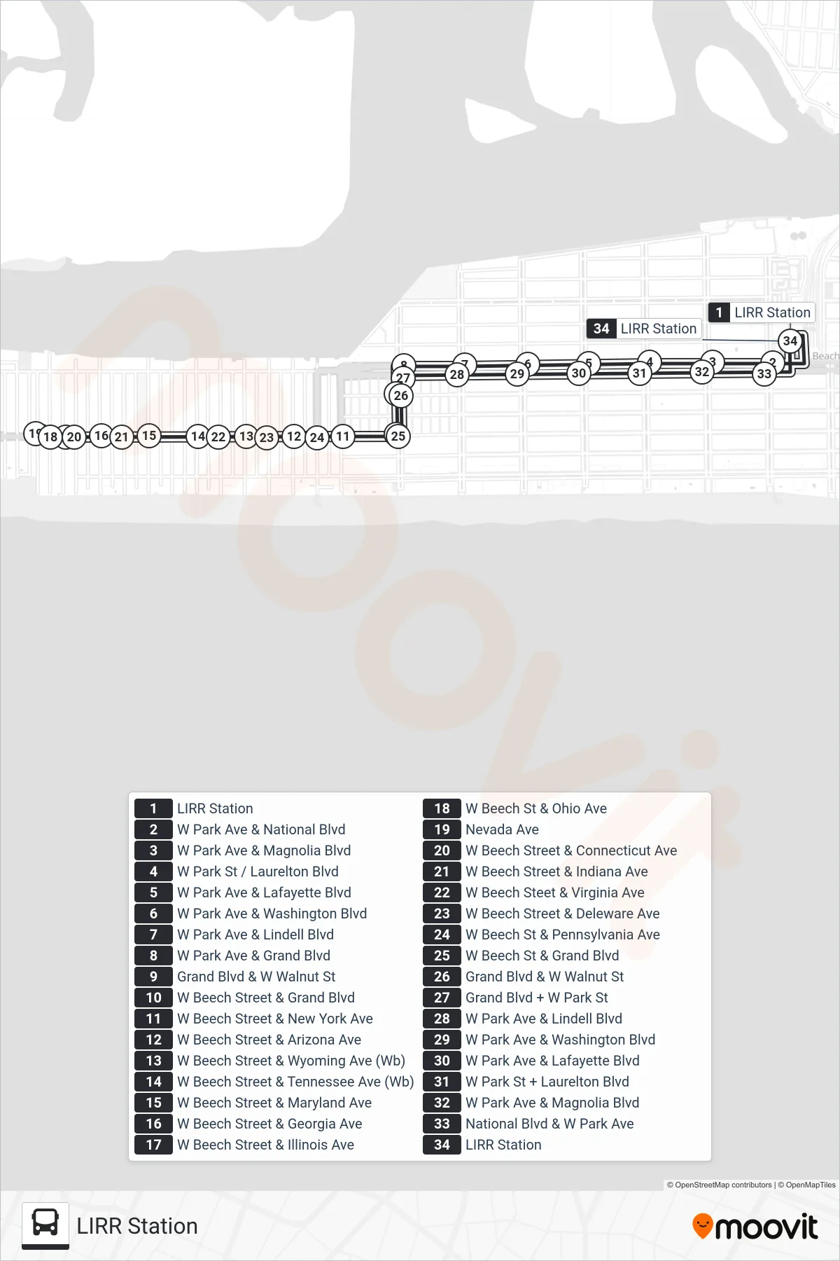
Stops list (WEST LOOP - LIRR Station)
- LIRR Station
- W Park Ave & National Blvd
- W Park Ave & Magnolia Blvd
- W Park St / Laurelton Blvd
- W Park Ave & Lafayette Blvd
- W Park Ave & Washington Blvd
- W Park Ave & Lindell Blvd
- W Park Ave & Grand Blvd
- Grand Blvd & W Walnut St
- W Beech Street & Grand Blvd
- W Beech Street & New York Ave
- W Beech Street & Arizona Ave
- W Beech Street & Wyoming Ave (Wb)
- W Beech Street & Tennessee Ave (Wb)
- W Beech Street & Maryland Ave
- W Beech Street & Georgia Ave
- W Beech Street & Illinois Ave
- W Beech St & Ohio Ave
- Nevada Ave
- W Beech Street & Connecticut Ave
- W Beech Street & Indiana Ave
- W Beech Steet & Virginia Ave
- W Beech Street & Deleware Ave
- W Beech St & Pennsylvania Ave
- W Beech St & Grand Blvd
- Grand Blvd & W Walnut St
- Grand Blvd + W Park St
- W Park Ave & Lindell Blvd
- W Park Ave & Washington Blvd
- W Park Ave & Lafayette Blvd
- W Park St + Laurelton Blvd
- W Park Ave & Magnolia Blvd
- National Blvd & W Park Ave
- LIRR Station