
X42 Bus Route Map
View the X42 route map and see all X42 stops along the route. The map of X42 shows where the bus travels and the location of each stop, making it easy to understand the entire route at a glance.
Explore VRR routes on the map and see where VRR bus services operate. Use the X42 map to find bus stops and see how the X42 connects different areas along its trip.
All X42 stops on the map are displayed in route order, helping you follow the X42 bus from the first stop to the last.
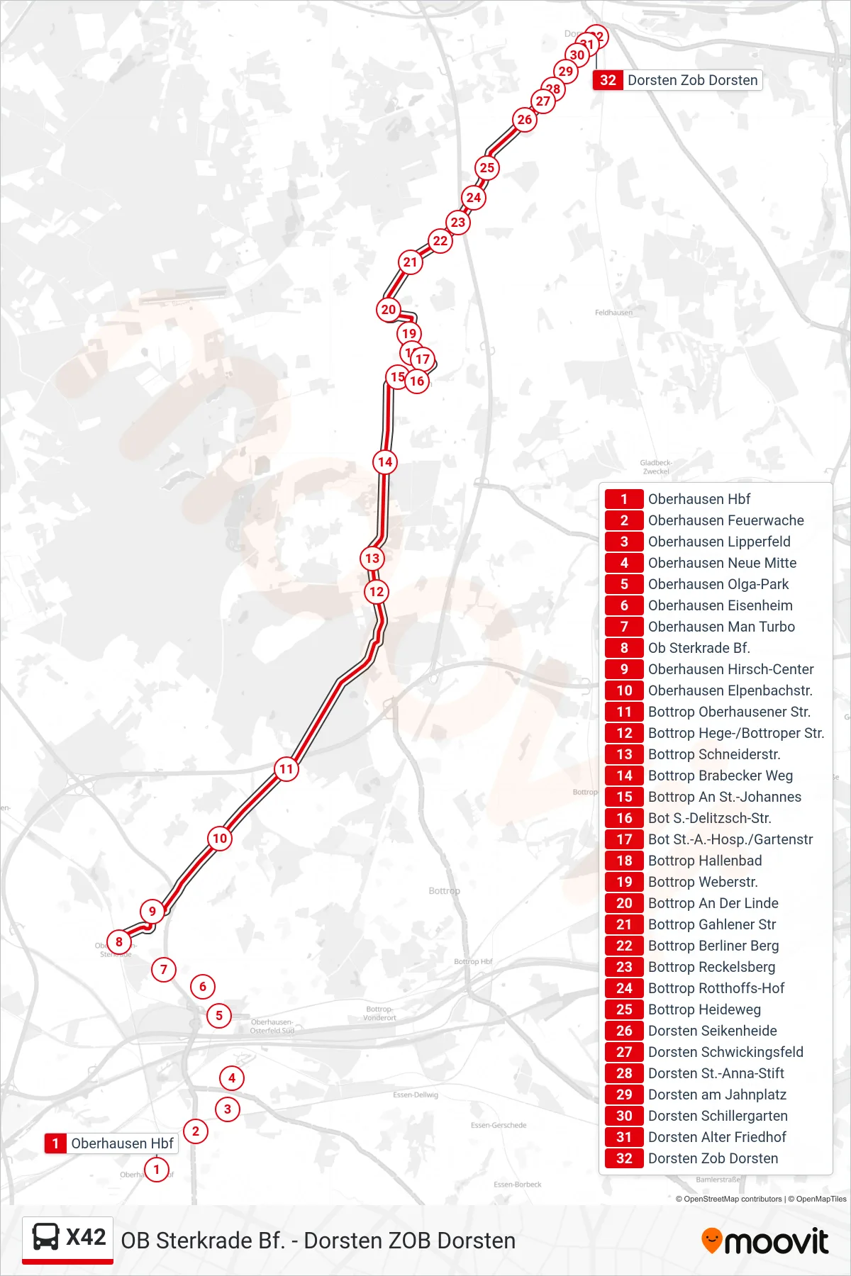
Stops list (X42 - Dorsten Zob Dorsten)
- Oberhausen Hbf
- Oberhausen Feuerwache
- Oberhausen Lipperfeld
- Oberhausen Neue Mitte
- Oberhausen Olga-Park
- Oberhausen Eisenheim
- Oberhausen Man Turbo
- Ob Sterkrade Bf.
- Oberhausen Hirsch-Center
- Oberhausen Elpenbachstr.
- Bottrop Oberhausener Str.
- Bottrop Hege-/Bottroper Str.
- Bottrop Schneiderstr.
- Bottrop Brabecker Weg
- Bottrop An St.-Johannes
- Bot S.-Delitzsch-Str.
- Bot St.-A.-Hosp./Gartenstr
- Bottrop Hallenbad
- Bottrop Weberstr.
- Bottrop An Der Linde
- Bottrop Gahlener Str
- Bottrop Berliner Berg
- Bottrop Reckelsberg
- Bottrop Rotthoffs-Hof
- Bottrop Heideweg
- Dorsten Seikenheide
- Dorsten Schwickingsfeld
- Dorsten St.-Anna-Stift
- Dorsten am Jahnplatz
- Dorsten Schillergarten
- Dorsten Alter Friedhof
- Dorsten Zob Dorsten