
YELLOW Metro Route Map
View the YELLOW route map and see all YELLOW stops along the route. The map of YELLOW shows where the metro travels and the location of each stop, making it easy to understand the entire route at a glance.
Explore WMATA routes on the map and see where WMATA metro services operate. Use the YELLOW map to find metro stations and see how the YELLOW connects different areas along its trip.
All YELLOW stops on the map are displayed in route order, helping you follow the YELLOW metro from the first station to the last.
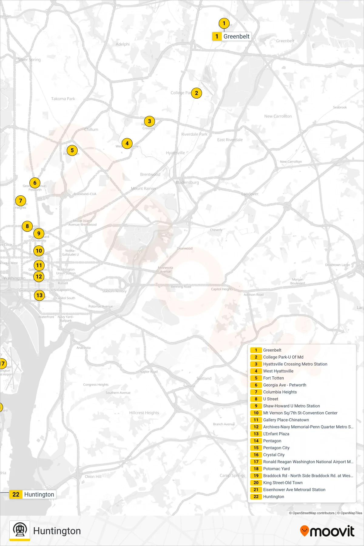
Stops list (YELLOW - Huntington)
- Greenbelt
- College Park-U Of Md
- Hyattsville Crossing Metro Station
- West Hyattsville
- Fort Totten
- Georgia Ave - Petworth
- Columbia Heights
- U Street
- Shaw-Howard U Metro Station
- Mt Vernon Sq/7th St-Convention Center
- Gallery Place-Chinatown
- Archives-Navy Memorial-Penn Quarter Metro Station
- L'Enfant Plaza
- Pentagon
- Pentagon City
- Crystal City
- Ronald Reagan Washington National Airport Metrorail Station
- Potomac Yard
- Braddock Rd - North Side Braddock Rd. at West St.
- King Street-Old Town
- Eisenhower Ave Metrorail Station
- Huntington