Directions to max bus stop (Modesto) with public transportation
The following transit lines have routes that pass near max bus stop
 Bus: 22, 30, 31, 48, FLIXBUS 2007.
How to get to max bus stop by bus?
Click on the bus route to see step by step directions with maps, line arrival times and updated time schedules.
Bus stops near max bus stop in Modesto
Bus lines to max bus stop in Modesto
- 31, Mall Back Entrance,VIEW
- 48, Elm St & Broadway Ave,VIEW
- FLIXBUS 2007, Sacramento Bus Station,VIEW
- 22, Bay D - Modesto Transit Center - Exit on,VIEW
- 25, Bay D - Modesto Transit Center - Exit on,VIEW
- 30, Bay D - Modesto Transit Center - Exit on,VIEW
- 37, Mall Back Entrance,VIEW
- 70, Ace Lathrop Station,VIEW
- 80, Stockton Transit Center,VIEW
- 90, Bart Dublin Station,VIEW
What are the closest stations to max bus stop?
The closest stations to max bus stop are:
- Sisk Rd & Vintage Dr is 398 yards away, 6 min walk.
- Dale Rd & Standiford Rd is 927 yards away, 12 min walk.
- Modesto is 967 yards away, 12 min walk.
- Dale Rd & Veneman Ave is 997 yards away, 13 min walk.
- Mall Park & Ride is 1019 yards away, 13 min walk.
Which bus lines stop near max bus stop?
These bus lines stop near max bus stop: 22, 30, 31.
What’s the nearest bus station to max bus stop in Modesto?
The nearest bus station to max bus stop in Modesto is Sisk Rd & Vintage Dr. It’s a 6 min walk away.
What time is the first bus to max bus stop in Modesto?
The 70 is the first bus that goes to max bus stop in Modesto. It stops nearby at 3:50 AM.
What time is the last bus to max bus stop in Modesto?
The 22 is the last bus that goes to max bus stop in Modesto. It stops nearby at 10:17 PM.
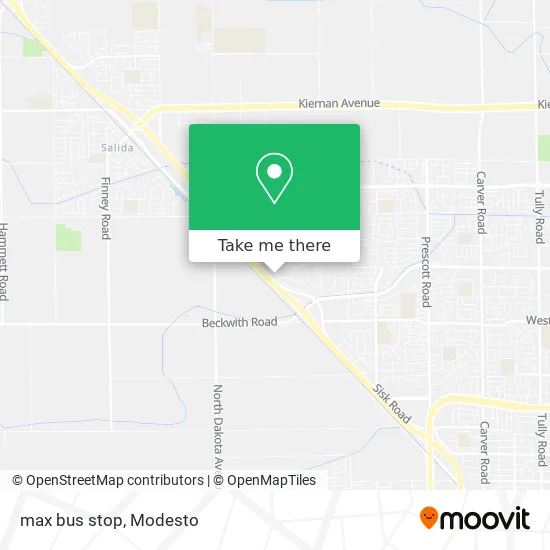
See max bus stop, Modesto, on the map
Public Transit to max bus stop in Modesto
Wondering how to get to max bus stop in Modesto? Moovit helps you find the best way to get to max bus stop with step-by-step directions from the nearest public transit station.
Moovit provides free maps and live directions to help you navigate through your city. View schedules, routes, timetables, and find out how long does it take to get to max bus stop in real time.
Looking for the nearest stop or station to max bus stop? Check out this list of stops closest to your destination: Sisk Rd & Vintage Dr; Dale Rd & Standiford Rd; Modesto; Dale Rd & Veneman Ave; Mall Park & Ride.
Bus: 22, 30, 31, 48, FLIXBUS 2007, 25, 37, 70, 80, 90.
Want to see if there’s another route that gets you there at an earlier time? Moovit helps you find alternative routes or times. Get directions from and directions to max bus stop easily from the Moovit App or Website.
We make riding to max bus stop easy, which is why over 1.5 million users, including users in Modesto, trust Moovit as the best app for public transit. You don’t need to download an individual bus app or train app, Moovit is your all-in-one transit app that helps you find the best bus time or train time available.
For information on prices of bus, costs and ride fares to max bus stop, please check the Moovit app.
Use the app to navigate to popular places including to the airport, hospital, stadium, grocery store, mall, coffee shop, school, college, and university.
max bus stop Address: Sisk And Brenner street in Modesto
- vanpool Park And Ride,
- Vintage Faire,
- SHERWIN-WILLIAMS,
- BTS,
- Ratto Bros,
- The Sleep Number Store by Select Comfort,
- Bella Pierre Cosmetics,
- Johnny Carino's,
- STARBUCKS,
- VICTORIA'S SECRET,
- VANS,
- Sprint Store by California Wireless Solutions,
- Pink,
- Jenius Creations,
- Vivint smart Home,
- VIP Driving School,
- Brows Fabulous,
- COLD STONE CREAMERY,
- Vintage Faire Mall,
- Relax Zone
Places Near max bus stop (Modesto)
- Black Oak Casino,
- Modesto, Ca,
- Ceres CA USA, Ceres,
- Turlock, CA, Turlock,
- Newman CA USA, Newman,
- Walmart,
- Highway 99 South -Traffic,
- Amazon Fulfillment Center,
- Kaiser Permanente Modesto Medical Center,
- DMV,
- Modesto Junior College - West Campus, Modesto,
- Modesto Amtrak (MOD),
- Patterson,
- Tesla,
- Vintage Faire Mall,
- Modesto Junior College,
- Modesto, ca,
- Salida, Ca, Salida,
- Costco Wholesale, Turlock,
- Walmart
How to get to popular places in Modesto with public transit
Get around Modesto by public transit!
Traveling around Modesto has never been so easy. See step by step directions as you travel to any attraction, street or major public transit station. View bus and train schedules, arrival times, service alerts and detailed routes on a map, so you know exactly how to get to anywhere in Modesto.
When traveling to any destination around Modesto use Moovit's Live Directions with Get Off Notifications to know exactly where and how far to walk, how long to wait for your line, and how many stops are left. Moovit will alert you when it's time to get off — no need to constantly re-check whether yours is the next stop.
Wondering how to use public transit in Modesto or how to pay for public transit in Modesto? Moovit public transit app can help you navigate your way with public transit easily, and at minimum cost. It includes public transit fees, ticket prices, and costs. Looking for a map of Modesto public transit lines? Moovit public transit app shows all public transit maps in Modesto with all bus routes and stops on an interactive map.
Modesto has 1 transit type(s), including: bus, operated by several transit agencies, including The S, Turlock Transit, Greyhound-us and FlixBus-us