How to get to multiRed by bus?
Click on the bus route to see step by step directions with maps, line arrival times and updated time schedules.
From Paradero de colectivos a San Mateo y Matucana, Lurigancho
40 minFrom Cevicheria El Rico Piura, Ate
45 minFrom Universidad Peruana Unión - UPeU, Lurigancho
31 minFrom Centro Comercial Real Plaza Santa Clara, Ate
42 minFrom Huachipa, Ate
31 minFrom CARAPONGO LURIGANCHO CHOSICA, Lurigancho
51 minFrom Cieneguilla, Cieneguill
142 minFrom Entrada A Huaycan, Ate
23 minFrom Ñaña, Chaclacayo
24 minFrom Carapongo, Lurigancho
47 min
Bus stop near multiRed in Chaclacayo
- Huampaní, 4 min walk,VIEW
Bus lines to multiRed in Chaclacayo
What are the closest stations to multiRed?
The closest stations to multiRed are:
- Huampaní is 243 meters away, 4 min walk.
Which bus lines stop near multiRed?
These bus lines stop near multiRed: 1069, 1085, 1218, 1319, 1479, 1480.
What’s the nearest bus station to multiRed in Chaclacayo?
The nearest bus station to multiRed in Chaclacayo is Huampaní. It’s a 4 min walk away.
What time is the first bus to multiRed in Chaclacayo?
The 1319 is the first bus that goes to multiRed in Chaclacayo. It stops nearby at 3:01 AM.
What time is the last bus to multiRed in Chaclacayo?
The 1319 is the last bus that goes to multiRed in Chaclacayo. It stops nearby at 4:13 AM.
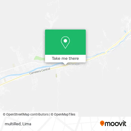
See multiRed, Chaclacayo, on the map
Public Transit to multiRed in Chaclacayo
Wondering how to get to multiRed in Chaclacayo? Moovit helps you find the best way to get to multiRed with step-by-step directions from the nearest public transit station.
Moovit provides free maps and live directions to help you navigate through your city. View schedules, routes, timetables, and find out how long does it take to get to multiRed in real time.
Looking for the nearest stop or station to multiRed? Check out this list of stops closest to your destination: Huampaní.
Bus: 1069, 1085, 1218, 1319, 1479, 1480, 1354.
Want to see if there’s another route that gets you there at an earlier time? Moovit helps you find alternative routes or times. Get directions from and directions to multiRed easily from the Moovit App or Website.
We make riding to multiRed easy, which is why over 1.5 million users, including users in Chaclacayo, trust Moovit as the best app for public transit. You don’t need to download an individual bus app or train app, Moovit is your all-in-one transit app that helps you find the best bus time or train time available.
For information on prices of bus, costs and ride fares to multiRed, please check the Moovit app.
Use the app to navigate to popular places including to the airport, hospital, stadium, grocery store, mall, coffee shop, school, college, and university.
multiRed Address: Avenida Nicolás de Ayllón Morón, 15472 Chaclacayo street in Chaclacayo
- Playa Cocoa,
- SUNAT,
- Banco De La Nación,
- Yaku,
- Chaclacayo..Verde,Limpio, tradicional y Seguro,
- del Pilar Salón - Sauna & Spa,
- Vivero Chaclacayo,
- Los Portales,
- Clinica Dental Acevedo,
- Mariachi Zacatecas de Chosica- Ate Vitarte,
- CALLE LOS CEREZOS CUADRA 5,
- Licorería víctor,
- La Pre San Marcos,
- Urbanización Zarumilla,
- Micalay Lozano Juan Jose,
- Tambo,
- Market Circolo Delivery,
- I.E 1189 Alberto Rivera y Pierola Chaclacayo,
- Carpio Pinto Leonidas Martin,
- Servicios Generales Michel S.A.C.
Places Near multiRed (Chaclacayo)
- Parque Kennedy, Miraflores,
- Miraflores, Miraflores,
- Av. Salaverry, Jesus Mari,
- Aeropuerto Internacional Jorge Chávez, Ventanilla,
- av arequipa, Lima,
- Pontificia Universidad Católica del Perú - PUCP, San Miguel,
- Parque de las Leyendas, San Miguel,
- Jockey Plaza, Santiago D,
- Plaza San Miguel, San Miguel,
- Av. Abancay, Lima,
- Hospital Edgardo Rebagliati Martins, Jesus Mari,
- Gamarra,
- Larcomar, Miraflores,
- Circuito Mágico Del Agua, Lima,
- Mall Del Sur,
- Paradero Av.Brasil,
- Real Plaza Puruchuco, Ate,
- Av. La Marina, San Miguel,
- Barranco, Barranco,
- Centro Comercial Plaza Norte, Independen
How to get to popular places in Lima with public transit
Get around Chaclacayo by public transit!
Traveling around Chaclacayo has never been so easy. See step by step directions as you travel to any attraction, street or major public transit station. View bus and train schedules, arrival times, service alerts and detailed routes on a map, so you know exactly how to get to anywhere in Chaclacayo.
When traveling to any destination around Chaclacayo use Moovit's Live Directions with Get Off Notifications to know exactly where and how far to walk, how long to wait for your line, and how many stops are left. Moovit will alert you when it's time to get off — no need to constantly re-check whether yours is the next stop.
Wondering how to use public transit in Chaclacayo or how to pay for public transit in Chaclacayo? Moovit public transit app can help you navigate your way with public transit easily, and at minimum cost. It includes public transit fees, ticket prices, and costs. Looking for a map of Chaclacayo public transit lines? Moovit public transit app shows all public transit maps in Chaclacayo with all Bus, Metro and Ferry routes and stops on an interactive map.
Lima has 3 transit type(s), including: Bus, Metro and Ferry, operated by several transit agencies, including Metro de Lima Línea 2 , Metro de Lima, Corredor Rojo, Metropolitano, Metropolitano - Alimentadores, Corredor Morado, Corredor Azul, Rutas Tradicionales, Transportes y Servicios La Esperanza S.A., Las Flores S.A., Virgen de la Asunción S.A., Consorcio HAM, Transportes y Service Canadá S.A., ETUL4SA and ETUCHISA