The Most Popular Urban Mobility App in Lake Tahoe - Reno, NV.
All local mobility options in one app
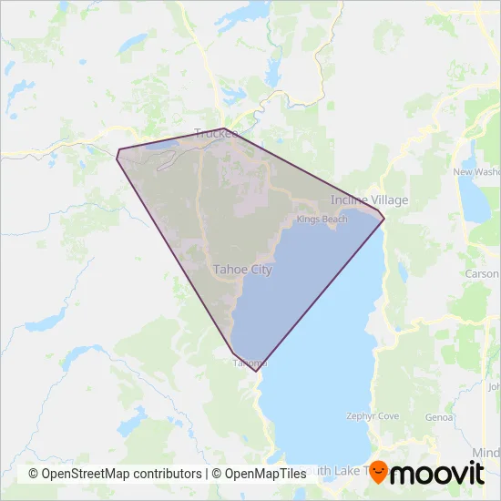
Tahoe Truckee Area Regional Transit is a public transportation provider in Lake Tahoe - Reno, NV which operates Bus routes.
The Tahoe Truckee Area Regional Transit has 4 Bus routes in Lake Tahoe - Reno, NV with 193 Bus stops.
Their Bus routes cover an area from the Olympic Valley Clock Tower stop to the Tunnel Creek Bonanza (Depart) stop and from the Edwin Rd at Henness Rd (Bus Shelter) stop to the Sugar Pine Point State Park stop.
Tahoe Truckee Area Regional Transit line schedules (timetables, itineraries, service hours), and departure and arrival times to stations are updated in the app in real time.
For Tahoe Truckee Area Regional Transit service alerts, please check the Moovit website for real-time info on bus status, bus delays, changes of bus routes, changes of stops and any service changes.
Tahoe Truckee Area Regional Transit is a public transportation provider in Lake Tahoe - Reno, NV which operates Bus routes.
The Tahoe Truckee Area Regional Transit has 4 Bus routes in Lake Tahoe - Reno, NV with 193 Bus stops.
Their Bus routes cover an area from the Olympic Valley Clock Tower stop to the Tunnel Creek Bonanza (Depart) stop and from the Edwin Rd at Henness Rd (Bus Shelter) stop to the Sugar Pine Point State Park stop.
Tahoe Truckee Area Regional Transit line schedules (timetables, itineraries, service hours), and departure and arrival times to stations are updated in the app in real time.
The Tahoe Truckee Area Regional Transit has Bus routes operating across Lake Tahoe - Reno, NV including: Tahoma, Carnelian Bay, Tahoe Vista, Truckee, Dollar Point, Crystal Bay, Incline Village, Sunnyside-Tahoe City, Kings Beach.
The longest line from the Tahoe Truckee Area Regional Transit is: ML. This Bus route starts from Tunnel Creek Bonanza (Depart) (Incline Village) and ends at Sugar Pine Point State Park. It covers over 44 km and has 72 stops.
The shortest line is: TLR. This Bus line begins from Donner Pass Rd Cold Stream Rd (Truckee) and finishes at Edwin Rd at Henness Rd (Bus Shelter) (Truckee). It runs through 7 km with 13 stops.
According to Moovit Insights, the most popular lines for Tahoe Truckee Area Regional Transit are .
Costs and prices of different ticket types may change, based on several factors. Please check the Moovit app to view bus fares of individual lines. For more information on ride fares and for buying bus tickets online please visit Tahoe Truckee Area Regional Transit's official site.
Looking for a specific Tahoe Truckee Area Regional Transit Bus schedule? All Tahoe Truckee Area Regional Transit lines and schedules in Lake Tahoe - Reno, NV can be found in the Moovit App. Moovit gives you directions for Tahoe Truckee Area Regional Transit routes and provides helpful step-by-step navigation.