The Most Popular Urban Mobility App in Toronto.
All local mobility options in one app
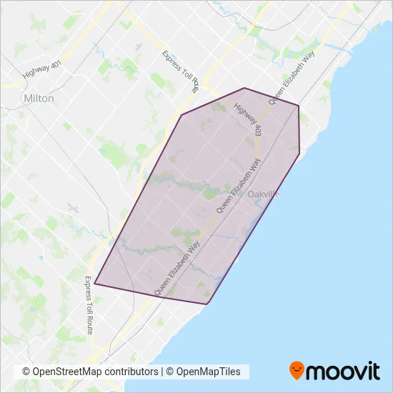
Oakville Transit is a public transportation provider in Toronto which operates Bus routes since 1972.
The Oakville Transit has 34 Bus routes in Toronto with 1111 Bus stops.
Their Bus routes cover an area from the North (Mississauga) with a stop at South Common Centre to the South (Oakville) with a stop at Lakeshore Rd West + Stevenson Rd.Their most western stop is Dundas St + Highway 407 Go Carpool (Burlington) and the most eastern stop is Devon Rd + Lakeshore Rd East (Oakville).
Oakville Transit line schedules (timetables, itineraries, service hours), and departure and arrival times to stations are updated in the app in real time.
For Oakville Transit service alerts, please check the Moovit website for real-time info on bus status, bus delays, changes of bus routes, changes of stops and any service changes.
Oakville Transit is a public transportation provider in Toronto which operates Bus routes since 1972.
The Oakville Transit has 34 Bus routes in Toronto with 1111 Bus stops.
Their Bus routes cover an area from the North (Mississauga) with a stop at South Common Centre to the South (Oakville) with a stop at Lakeshore Rd West + Stevenson Rd.Their most western stop is Dundas St + Highway 407 Go Carpool (Burlington) and the most eastern stop is Devon Rd + Lakeshore Rd East (Oakville).
Oakville Transit line schedules (timetables, itineraries, service hours), and departure and arrival times to stations are updated in the app in real time.
The Oakville Transit has Bus routes operating across Toronto including: Mississauga, Oakville, Burlington.
The longest line from the Oakville Transit is: 5A. This Bus route starts from Dundas St + Highway 407 Go Carpool (Burlington) and ends at Oakville Go Station (Oakville). It covers over 21 km and has 52 stops.
The shortest line is: 83. This Bus line begins from South Oakville Centre (Oakville) and finishes at Rebecca St at T.A. Blakelock H.S. (Oakville). It runs through 2 km with 4 stops.
According to Moovit Insights, the most popular lines for Oakville Transit are .
Costs and prices of different ticket types may change, based on several factors. Please check the Moovit app to view bus fares of individual lines. For more information on ride fares and for buying bus tickets online please visit Oakville Transit's official site.
The headquarter offices of the Oakville Transit are located in: 430 Wyecroft Road, Oakville, Ontario, Canada
Looking for a specific Oakville Transit Bus schedule? All Oakville Transit lines and schedules in Toronto can be found in the Moovit App. Moovit gives you directions for Oakville Transit routes and provides helpful step-by-step navigation.