The Most Popular Urban Mobility App in Atlanta.
All local mobility options in one app
Emory University Transportation is a public transportation provider in Atlanta which operates Bus routes.
The Emory University Transportation has 16 Bus routes in Atlanta with 93 Bus stops.
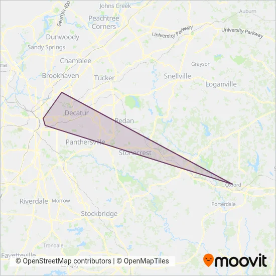
Their Bus routes cover an area from the North (North Druid Hills) with a stop at Executive Park Dr @ Bldg 18 to the South (Belvedere Park) with a stop at Candler Rd @ Glenwood Rd.Their most western stop is Linden Avenue Before West Peachtree (Atlanta) and the most eastern stop is Amc Theater Marquee @ N. Dekalb Mall (North Decatur).
Emory University Transportation line schedules (timetables, itineraries, service hours), and departure and arrival times to stations are updated in the app in real time.
For Emory University Transportation service alerts, please check the Moovit website for real-time info on bus status, bus delays, changes of bus routes, changes of stops and any service changes.
Emory University Transportation is a public transportation provider in Atlanta which operates Bus routes.
The Emory University Transportation has 16 Bus routes in Atlanta with 93 Bus stops.
Their Bus routes cover an area from the North (North Druid Hills) with a stop at Executive Park Dr @ Bldg 18 to the South (Belvedere Park) with a stop at Candler Rd @ Glenwood Rd.Their most western stop is Linden Avenue Before West Peachtree (Atlanta) and the most eastern stop is Amc Theater Marquee @ N. Dekalb Mall (North Decatur).
Emory University Transportation line schedules (timetables, itineraries, service hours), and departure and arrival times to stations are updated in the app in real time.
The Emory University Transportation has Bus routes operating across Atlanta including: Atlanta, Druid Hills, Belvedere Park, North Decatur, North Druid Hills, Decatur.
The longest line from the Emory University Transportation is: TOCO HILL. This Bus route starts from Starvine Deck (Druid Hills) and ends at Starvine Way @ Dooley Drive (Druid Hills). It covers over 5 km and has 5 stops.
The shortest line is: C ROUTE. This Bus line begins from Starvine Deck (Druid Hills) and finishes at Starvine Deck (Druid Hills). It runs through 3 km with 12 stops.
According to Moovit Insights, the most popular lines for Emory University Transportation are .
Costs and prices of different ticket types may change, based on several factors. Please check the Moovit app to view bus fares of individual lines. For more information on ride fares and for buying bus tickets online please visit Emory University Transportation's official site.
Looking for a specific Emory University Transportation Bus schedule? All Emory University Transportation lines and schedules in Atlanta can be found in the Moovit App. Moovit gives you directions for Emory University Transportation routes and provides helpful step-by-step navigation.