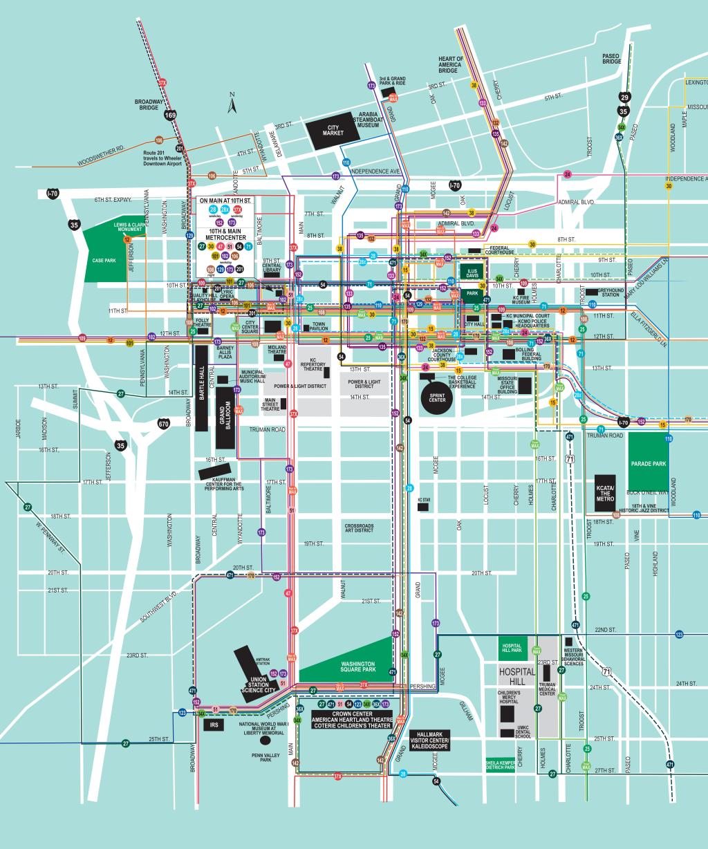
Kansas City kcata Downtown Offline Map (PDF)
Moovit has an easy-to-download Kansas City kcata Downtown Map, that serves as your offline Kansas City bus map while traveling. This map can be saved in your phone and it’s easy to share with friends. To view the downloaded map, no internet connection is required. It’s the offline bus map in Kansas City that will take you where you need to go.
Moovit has an easy-to-download Kansas City kcata Downtown Map, that serves as your offline Kansas City bus map while traveling. This map can be saved in your phone and it’s easy to share with friends. To view the downloaded map, no internet connection is required. It’s the offline bus map in Kansas City that will take you where you need to go.
Find all bus line schedules and routes in Kansas City:
- 63rd Street
 63
63 - 23rd Street23
- 9 - 9th Street/12th & Wyoming9
- Troost Max / To DowntownTMAX
- Red Route306
- 305 - Orange / 24hwy & Brookside305
- Yellow Route304
- 303 - Purple/40hwy & Noland303
- Independence24
- North302
- 300 - Green/Truman & Noland301
- 12 - 12th Street / To Downtown Kck12
- Meadowbrook238
- Inbound102
- Blue Ridge28
- 27 - 27th Street/ To Van Brunt27
- 25 - Troost/ To Downtown25
- 35 - 35th Street/ To 47 Main35
- 31 - 31st Street/ To 31st And Van Brunt31
- Broadway47
- Indiana18
- 35 - To 39rain39
- Blue Ridge Limited29
- Cleveland-Antioch21
- Boardwalk/KCI229
- 57 - Wornall/135th & State Line57
- 104 - Argentine/ To 40th And Lawrence104
- 201 - North Oak / To 27th And Main201
- 3rd - Fairfax103
- 101 - State Ave/ To Village West101
- 107 - 7th St-Parallel/7th & Minnesota107
- 85 – Paseo / To 88th And State Line85
- 75 - 75th Street/3 Trails Transit Center75
- Inbound116
- Northeast-Westside11
- 550 - Lee's Summit/ To Downtown550
- Main Max/River MarketMMAX
- Streetcar/3rd & GrandSTRC
- 570 - Blue Springs/7hwy & N.Ridg570