The Most Popular Urban Mobility App in Philadelphia.
All local mobility options in one app
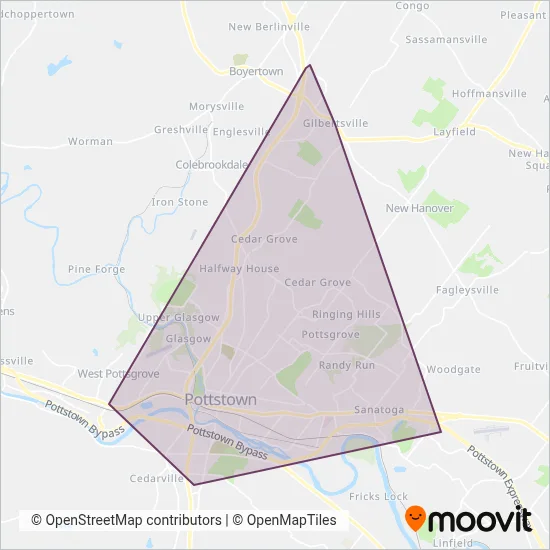
Pottstown Area Rapid Transit (PART) is a public transportation provider in Philadelphia which operates Bus routes.
The Pottstown Area Rapid Transit (PART) has 5 Bus routes in Philadelphia with 35 Bus stops.
Their Bus routes cover an area from the High & Grosstown stop to the Costco stop and from the Boyertown Shopping Center stop to the Town Square Plaza stop.
Pottstown Area Rapid Transit (PART) line schedules (timetables, itineraries, service hours), and departure and arrival times to stations are updated in the app in real time.
For Pottstown Area Rapid Transit (PART) service alerts, please check the Moovit website for real-time info on bus status, bus delays, changes of bus routes, changes of stops and any service changes.
Pottstown Area Rapid Transit (PART) is a public transportation provider in Philadelphia which operates Bus routes.
The Pottstown Area Rapid Transit (PART) has 5 Bus routes in Philadelphia with 35 Bus stops.
Their Bus routes cover an area from the High & Grosstown stop to the Costco stop and from the Boyertown Shopping Center stop to the Town Square Plaza stop.
Pottstown Area Rapid Transit (PART) line schedules (timetables, itineraries, service hours), and departure and arrival times to stations are updated in the app in real time.
The Pottstown Area Rapid Transit (PART) has Bus routes operating across Philadelphia including: Pottstown, Sanatoga, Lower Pottsgrove, South Pottstown.
The longest line from the Pottstown Area Rapid Transit (PART) is: OL. This Bus route starts from Charles W Dickinson Transportation Center (Pottstown) and ends at Charles W Dickinson Transportation Center (Pottstown). It covers over 30 km and has 14 stops.
The shortest line is: YL. This Bus line begins from Charles W Dickinson Transportation Center (Pottstown) and finishes at Charles W Dickinson Transportation Center (Pottstown). It runs through 12 km with 13 stops.
According to Moovit Insights, the most popular lines for Pottstown Area Rapid Transit (PART) are .
Costs and prices of different ticket types may change, based on several factors. Please check the Moovit app to view bus fares of individual lines. For more information on ride fares and for buying bus tickets online please visit Pottstown Area Rapid Transit (PART)'s official site.
Looking for a specific Pottstown Area Rapid Transit (PART) Bus schedule? All Pottstown Area Rapid Transit (PART) lines and schedules in Philadelphia can be found in the Moovit App. Moovit gives you directions for Pottstown Area Rapid Transit (PART) routes and provides helpful step-by-step navigation.