The Most Popular Urban Mobility App in Toronto.
All local mobility options in one app
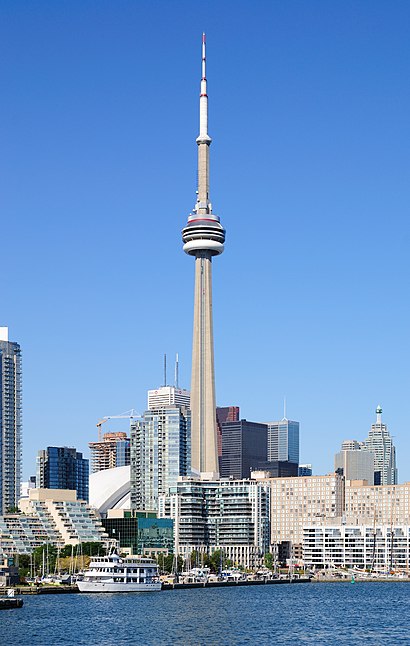
The following transit lines have routes that pass near Cn Tower
Click on the Bus route to see step by step directions with maps, line arrival times and updated time schedules.
Click on the Train route to see step by step directions with maps, line arrival times and updated time schedules.
Click on the Subway route to see step by step directions with maps, line arrival times and updated time schedules.
The closest stations to Cn Tower are:
These Bus lines stop near Cn Tower: 19, 307, 320
These Train lines stop near Cn Tower: MI
These Subway lines stop near Cn Tower: 1
These Streetcar lines stop near Cn Tower: 301, 304
The nearest streetcar stations to Cn Tower in Toronto are Queens Quay West at Rees St and Queens Quay West at Rees St West Side. The closest one is a 7 min walk away.
The nearest bus stop to Cn Tower in Toronto is Bay St at King St West. It’s a 6 min walk away.
The 301 is the first Streetcar that goes to Cn Tower in Toronto. It stops nearby at 3:00 AM.
The 301 is the last Streetcar that goes to Cn Tower in Toronto. It stops nearby at 3:30 AM.
The 320 is the first Bus that goes to Cn Tower in Toronto. It stops nearby at 3:01 AM.
The GREYHOUND US0215 is the last Bus that goes to Cn Tower in Toronto. It stops nearby at 2:05 PM.
The Streetcar fare to Cn Tower costs about $3.30.
The Bus fare to Cn Tower costs about $3.30.
Wondering how to get to Cn Tower in Toronto, Canada? Moovit helps you find the best way to get to Cn Tower with step-by-step directions from the nearest public transit station.
Moovit provides free maps and live directions to help you navigate through your city. View schedules, routes, timetables, and find out how long does it take to get to Cn Tower in real time.
Looking for the nearest stop or station to Cn Tower? Check out this list of stops closest to your destination: Bay St at King St West; The Esplanade at Yonge St; Queens Quay West at Rees St; Queens Quay West at Rees St West Side; Bay St at Lake Shore Blvd W; Toronto (Union Station Bus Terminal); King St West at John St East Side; Union Station Bus Terminal; Toronto Union Station; Bay St at Front St West South Side - Union Station.
Bus:Train:Subway:Streetcar:
Want to see if there’s another route that gets you there at an earlier time? Moovit helps you find alternative routes or times. Get directions from and directions to Cn Tower easily from the Moovit App or Website.
We make riding to Cn Tower easy, which is why over 1.5 million users, including users in Toronto, trust Moovit as the best app for public transit. You don’t need to download an individual bus app or train app, Moovit is your all-in-one transit app that helps you find the best bus time or train time available.
For information on prices of Bus, Streetcar, Subway and Train, costs and ride fares to Cn Tower, please check the Moovit app.
Use the app to navigate to popular places including to the airport, hospital, stadium, grocery store, mall, coffee shop, school, college, and university.
Cn Tower Address: Bremner Boulevard street in Toronto
Traveling around Toronto has never been so easy. See step by step directions as you travel to any attraction, street or major public transit station. View bus and train schedules, arrival times, service alerts and detailed routes on a map, so you know exactly how to get to anywhere in Toronto.
When traveling to any destination around Toronto use Moovit's Live Directions with Get Off Notifications to know exactly where and how far to walk, how long to wait for your line, and how many stops are left. Moovit will alert you when it's time to get off — no need to constantly re-check whether yours is the next stop.
Wondering how to use public transit in Toronto or how to pay for public transit in Toronto? Moovit public transit app can help you navigate your way with public transit easily, and at minimum cost. It includes public transit fees, ticket prices, and costs. Looking for a map of Toronto public transit lines? Moovit public transit app shows all public transit maps in Toronto with all Bus, Streetcar, Subway or Train routes and stops on an interactive map.
Toronto has 4 transit type(s), including: Bus, Streetcar, Subway or Train, operated by several transit agencies, including TTC, TTC Streetcar, Toronto Subway, GO Transit Bus, GO Transit, Amtrak, York Region Transit, Grand River Transit, Guelph Transit, grt, Hamilton Street Railway, MiWay, Brampton Transit, Burlington Transit and Oakville Transit