The Most Popular Urban Mobility App in Seacoast Region.
All local mobility options in one app
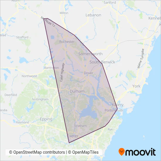
Cooperative Alliance for Seacoast Transportation is a public transportation provider in Seacoast Region which operates Bus routes.
The Cooperative Alliance for Seacoast Transportation has 11 Bus routes in Seacoast Region with 427 Bus stops.
Their Bus routes cover an area from the North (Farmington) with a stop at Main St. (Old Courthouse) to the South (Exeter) with a stop at Linden St. (Deep Meadow Variety).Their most western stop is Colonial Cir. (Trotting Park) (Farmington) and the most eastern stop is Pnsy Building 86 (Kittery).
Cooperative Alliance for Seacoast Transportation line schedules (timetables, itineraries, service hours), and departure and arrival times to stations are updated in the app in real time.
For Cooperative Alliance for Seacoast Transportation service alerts, please check the Moovit website for real-time info on bus status, bus delays, changes of bus routes, changes of stops and any service changes.
Cooperative Alliance for Seacoast Transportation is a public transportation provider in Seacoast Region which operates Bus routes.
The Cooperative Alliance for Seacoast Transportation has 11 Bus routes in Seacoast Region with 427 Bus stops.
Their Bus routes cover an area from the North (Farmington) with a stop at Main St. (Old Courthouse) to the South (Exeter) with a stop at Linden St. (Deep Meadow Variety).Their most western stop is Colonial Cir. (Trotting Park) (Farmington) and the most eastern stop is Pnsy Building 86 (Kittery).
Cooperative Alliance for Seacoast Transportation line schedules (timetables, itineraries, service hours), and departure and arrival times to stations are updated in the app in real time.
The Cooperative Alliance for Seacoast Transportation has Bus routes operating across Seacoast Region including: Exeter, Dover, Farmington, Newmarket, Rochester, Portsmouth, Somersworth, Rollinsford.
The longest line from the Cooperative Alliance for Seacoast Transportation is: 2. This Bus route starts from Pnsy Gate 1 (Kittery) and ends at Milton Rd. (Dunkin' Donuts) (Rochester). It covers over 47 km and has 90 stops.
The shortest line is: 40. This Bus line begins from Market Square (Portsmouth) and finishes at Islington St. (Plaza 800) (Portsmouth). It runs through 2 km with 7 stops.
According to Moovit Insights, the most popular lines for Cooperative Alliance for Seacoast Transportation are .
Costs and prices of different ticket types may change, based on several factors. Please check the Moovit app to view bus fares of individual lines. For more information on ride fares and for buying bus tickets online please visit Cooperative Alliance for Seacoast Transportation's official site.
Looking for a specific Cooperative Alliance for Seacoast Transportation Bus schedule? All Cooperative Alliance for Seacoast Transportation lines and schedules in Seacoast Region can be found in the Moovit App. Moovit gives you directions for Cooperative Alliance for Seacoast Transportation routes and provides helpful step-by-step navigation.