The Most Popular Urban Mobility App in Washington, D.C. - Baltimore, MD.
All local mobility options in one app
WMATA (Washington Metro ) is a public transportation provider in Washington, D.C. - Baltimore, MD which operates Metro lines since 1976.
The WMATA has 6 Metro lines in Washington, D.C. - Baltimore, MD with 101 Metro stations.
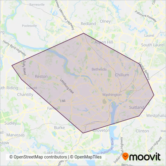
Their Metro lines cover an area from the North (Montgomery County) with a stop at Shady Grove to the South (Fairfax County) with a stop at Franconia-Springfield Metro.Their most western stop is Ashburn Metrorail Station (Loudoun County) and the most eastern stop is Downtown Largo Metro Station (Prince George's County).
WMATA line schedules (timetables, itineraries, service hours), and departure and arrival times to stations are updated in the app in real time.
For WMATA service alerts, please check the Moovit website for real-time info on metro status, metro delays, changes of metro routes, changes of stations and any service changes.
WMATA (Washington Metro ) is a public transportation provider in Washington, D.C. - Baltimore, MD which operates Metro lines since 1976.
The WMATA has 6 Metro lines in Washington, D.C. - Baltimore, MD with 101 Metro stations.
Their Metro lines cover an area from the North (Montgomery County) with a stop at Shady Grove to the South (Fairfax County) with a stop at Franconia-Springfield Metro.Their most western stop is Ashburn Metrorail Station (Loudoun County) and the most eastern stop is Downtown Largo Metro Station (Prince George's County).
WMATA line schedules (timetables, itineraries, service hours), and departure and arrival times to stations are updated in the app in real time.
The WMATA has Metro lines operating across Washington, D.C. - Baltimore, MD including: Loudoun County, Prince George's County, Washington, Fairfax County, Arlington County, Alexandria, Montgomery County.
The longest line from the WMATA is: METRORAIL SILVER LINE. This Metro line starts from Downtown Largo Metro Station (Prince George's County) and ends at Ashburn Metrorail Station (Loudoun County). It covers over 65 km and has 34 stops.
The shortest line is: METRORAIL YELLOW LINE. This Metro line begins from Braddock Road Metro (Alexandria) and finishes at Huntington (Fairfax County). It runs through 3 km with 4 stops.
According to Moovit Insights, the most popular lines for WMATA are METRORAIL ORANGE LINE, METRORAIL RED LINE, METRORAIL YELLOW LINE, METRORAIL BLUE LINE, METRORAIL GREEN LINE.
Costs and prices of different ticket types may change, based on several factors. Please check the Moovit app to view metro fares of individual lines. For more information on ride fares and for buying metro tickets online please visit WMATA's official site.
Looking for a specific WMATA Metro schedule? All WMATA lines and schedules in Washington, D.C. - Baltimore, MD can be found in the Moovit App. Moovit gives you directions for WMATA routes and provides helpful step-by-step navigation.