Directions to Abbey Farm House, Yeovil with public transportation
The following transport lines have routes that pass near Abbey Farm House, Yeovil
How to get to Abbey Farm House, Yeovil by bus?
Click on the bus route to see step by step directions with maps, line arrival times and updated time schedules.
Bus stops near Abbey Farm House, Yeovil
- Freeedom Avenue, 5 min walk,
- Security Centre, 7 min walk,
- Watercombe Lane, 8 min walk,
Bus routes to Abbey Farm House, Yeovil
- 51, Cavalier Way,
- 81, Yeovil,
- 81, Montacute,
- 50, Summerlands (Yeovil),
What are the nearest stations to Abbey Farm House, Yeovil?
The nearest stations to Abbey Farm House, Yeovil are:
- Freeedom Avenue is 359 meters away, 5 min walk.
- Security Centre is 467 meters away, 7 min walk.
- Watercombe Lane is 593 meters away, 8 min walk.
Which bus lines stop near Abbey Farm House, Yeovil?
These bus lines stop near Abbey Farm House, Yeovil: 11, 51, 81.
What’s the nearest bus station to Abbey Farm House, Yeovil?
The nearest bus station to Abbey Farm House, Yeovil is Freeedom Avenue. It’s a 5 min walk away.
What time is the first bus to Abbey Farm House, Yeovil?
The 11 is the first bus that goes to Abbey Farm House, Yeovil. It stops nearby at 07:02.
What time is the last bus to Abbey Farm House, Yeovil?
The 51 is the last bus that goes to Abbey Farm House, Yeovil. It stops nearby at 18:56.
See Abbey Farm House, Yeovil on the map
Public Transportation to Abbey Farm House, Yeovil
Wondering how to get to Abbey Farm House, Yeovil, United Kingdom? Moovit helps you find the best way to get to Abbey Farm House, Yeovil with step-by-step directions from the nearest public transit station.
Moovit provides free maps and live directions to help you navigate through your city. View schedules, routes, timetables, and find out how long does it take to get to Abbey Farm House, Yeovil in real time.
Looking for the nearest stop or station to Abbey Farm House, Yeovil? Check out this list of stops closest to your destination: Freeedom Avenue; Security Centre; Watercombe Lane.
Bus: 11, 51, 81, 50.
Want to see if there’s another route that gets you there at an earlier time? Moovit helps you find alternative routes or times. Get directions from and directions to Abbey Farm House, Yeovil easily from the Moovit App or Website.
We make riding to Abbey Farm House, Yeovil easy, which is why over 1.5 million users, including users in Yeovil, trust Moovit as the best app for public transit. You don’t need to download an individual bus app or train app, Moovit is your all-in-one transit app that helps you find the best bus time or train time available.
For information on prices of bus, costs and ride fares to Abbey Farm House, Yeovil, please check the Moovit app.
Use the app to navigate to popular places including to the airport, hospital, stadium, grocery store, mall, coffee shop, school, college, and university.
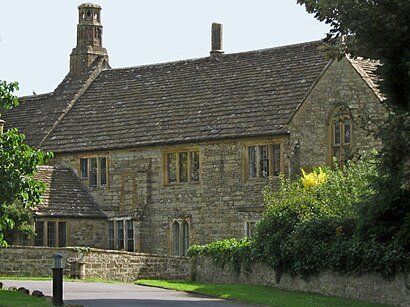
Abbey Farm House, Yeovil Address: Yeovil Yeovil BA21 3 street in Yeovil
Places Near Abbey Farm House, Yeovil
How to get to popular places in South West with public transport
Get around Yeovil by public transport!
Travelling around Yeovil has never been so easy. See step by step directions as you travel to any attraction, street or major public transport station. View bus and train timetables, arrival times, service alerts and detailed routes on a map, so you know exactly how to get to anywhere in Yeovil.
When travelling to any destination around Yeovil use Moovit's Live Directions with Get Off Notifications to know exactly where and how far to walk, how long to wait for your line , and how many stops are left. Moovit will alert you when it’s time to get off — no need to constantly re-check whether yours is the next stop.
Wondering how to use public transport in Yeovil or how to pay for public transport in Yeovil? Moovit public transport app can help you navigate your way with public transport easily, and at minimum cost. It includes public transport fees, ticket prices, and costs. Looking for a map of Yeovil public transport lines? Moovit public transport app shows all public transport maps in Yeovil with all Bus, Train and Ferry routes and stops on an interactive map.
South West has 3 transport type(s), including: Bus, Train and Ferry, operated by several transport agencies, including National Rail, Stagecoach South, Padstow Harbour Commissioners, Royal Buses, Yeos Contracts, Bennetts, MD Coaches, Newport Bus, First Bristol, Bath & the West, First Kernow, St Mawes Ferry, First Wessex, Dorset & South Somerset, Isles of Scilly Steamship Co, Stagecoach South West and Stagecoach West