Beechwood Drive stop - Monday schedule
| Line | Direction | Time |
|---|---|---|
| 418 | Pollitt Square | 06:55 |
| 216 | Woodside Interchange | 06:56 |
| 495 | Clifton Crescent | 07:28 |
| 658 | Village Way | 07:56 |
| 418 | Pollitt Square | 07:57 |
| 495 | Clifton Crescent | 08:01 |
| 698 | Birkenhead Park School | 08:03 |
| 495 | Clifton Crescent | 08:35 |
| 418 | Pollitt Square | 09:05 |
| 495 | Clifton Crescent | 09:07 |
| 495 | Clifton Crescent | 09:38 |
| 418 | Pollitt Square | 10:02 |
| 495 | Clifton Crescent | 10:08 |
| 495 | Clifton Crescent | 10:38 |
| 418 | Pollitt Square | 11:06 |
| 495 | Clifton Crescent | 11:08 |
| 495 | Clifton Crescent | 11:38 |
| 418 | Pollitt Square | 12:06 |
| 495 | Clifton Crescent | 12:08 |
| 495 | Clifton Crescent | 12:38 |
| 495 | Clifton Crescent | 13:08 |
| 418 | Pollitt Square | 13:08 |
| 495 | Clifton Crescent | 13:38 |
| 495 | Clifton Crescent | 14:08 |
| 418 | Pollitt Square | 14:11 |
Directions to Beechwood Drive stop (Birkenhead) with public transport
The following transport lines have routes that pass near Beechwood Drive
How to get to Beechwood Drive stop by bus?
Click on the bus route to see step by step directions with maps, line arrival times and updated time schedules.
How to get to Beechwood Drive stop by train?
Click on the train route to see step by step directions with maps, line arrival times and updated time schedules.
Bus stops near Beechwood Drive stop in Birkenhead
- Beechwood Drive, 2 min walk,
- Fifth Avenue, 4 min walk,
- Coral Ridge, 14 min walk,
- Thornham Close, 34 min walk,
Bus lines to Beechwood Drive stop in Birkenhead
- 217, Woodside Bus Station,
- 418, Brassey Street,
- 492, Clifton Crescent,
- 608, Woodchurch High School,
- 658, Saughall Massie,
- 698, Townfield Lane,
- 216, Woodside Interchange,
- 495, Clifton Crescent,
- 658, Village Way,
- 696, Birkenhead (Conway Street),
- 437, Castle Street,
- 611, St Anselm's,
- 621, West Kirby Grammar School,
- 621, Oxton,
- 16, Moreton Cross,
- 16A, Eastham Rake Station,
What are the nearest stations to Beechwood Drive?
The nearest stations to Beechwood Drive are:
- Beechwood Drive is 90 meters away, 2 min walk.
- Fifth Avenue is 282 meters away, 4 min walk.
- Coral Ridge is 1036 meters away, 14 min walk.
- Thornham Close is 2605 meters away, 34 min walk.
Which bus lines stop near Beechwood Drive?
These bus lines stop near Beechwood Drive: 418, 492, 495.
Which train line stops near Beechwood Drive?
MERSEYRAIL (West Kirby)
What’s the nearest bus station to Beechwood Drive in Birkenhead?
The nearest bus station to Beechwood Drive in Birkenhead is Beechwood Drive. It’s a 2 min walk away.
What time is the first bus to Beechwood Drive in Birkenhead?
The 16 is the first bus that goes to Beechwood Drive in Birkenhead. It stops nearby at 06:08.
What time is the last bus to Beechwood Drive in Birkenhead?
The 437 is the last bus that goes to Beechwood Drive in Birkenhead. It stops nearby at 00:30.
Beechwood Drive station
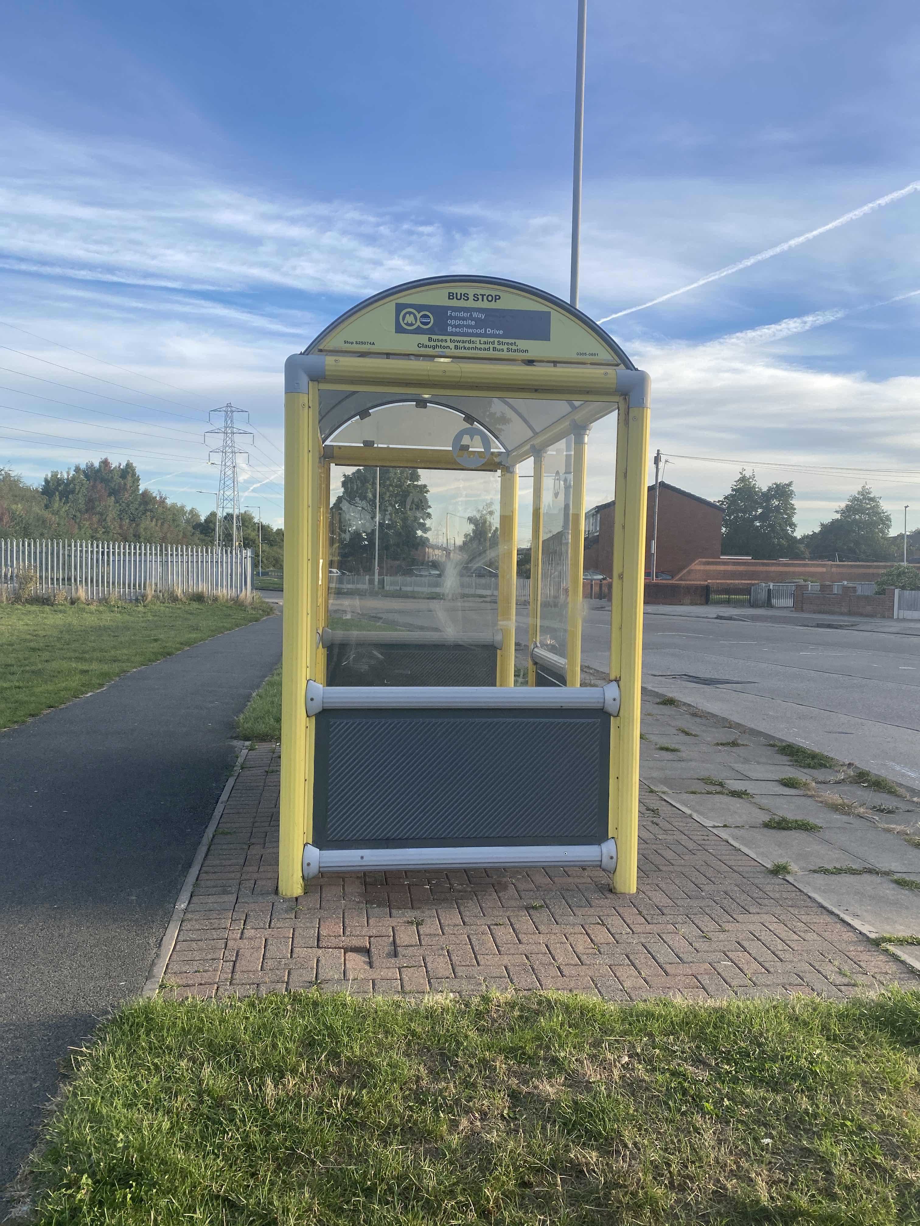 Taken by Aileen T.
See Beechwood Drive stop, Birkenhead, on the map
Public transport to Beechwood Drive stop (ID: merapwaj) in Birkenhead
Looking for directions to Beechwood Drive in Birkenhead, United Kingdom?
Download the Moovit App to find the current schedule and step-by-step directions for Bus or Train routes that pass through Beechwood Drive.
Looking for the nearest stops closest to Beechwood Drive ? Check out this list of closest stops to your destination: Beechwood Drive; Fifth Avenue; Coral Ridge; Thornham Close.
Bus: 418, 492, 495, 217, 608, 658, 216, 658, 696, 437, 611, 621, 621, 16, 16A.Train: MERSEYRAIL.
We make riding on public transit to Beechwood Drive easy, which is why over 1.5 million users, including users in Birkenhead trust Moovit as the best app for public transit.
Use the app to navigate to popular places including to the airport, hospital, stadium, grocery store, mall, coffee shop, school, college, and university.
Beechwood Drive stop’s code is merapwaj
The first line to this stop is 418, at 06:55, and the last line is 495 at 20:48.
This stop serves Stagecoach Merseyside and South Lancashire, Al's Coaches and Arriva North West’s lines
Popular public transport stations in Birkenhead
Get around Birkenhead by public transport!
Travelling around Birkenhead has never been so easy. See step by step directions as you travel to any attraction, street or major public transport station. View bus and train timetables, arrival times, service alerts and detailed routes on a map, so you know exactly how to get to anywhere in Birkenhead.
When travelling to any destination around Birkenhead use Moovit's Live Directions with Get Off Notifications to know exactly where and how far to walk, how long to wait for your line , and how many stops are left. Moovit will alert you when it’s time to get off — no need to constantly re-check whether yours is the next stop.
Wondering how to use public transport in Birkenhead or how to pay for public transport in Birkenhead? Moovit public transport app can help you navigate your way with public transport easily, and at minimum cost. It includes public transport fees, ticket prices, and costs. Looking for a map of Birkenhead public transport lines? Moovit public transport app shows all public transport maps in Birkenhead with all Bus, Train, Light rail and Ferry routes and stops on an interactive map.
North West has 4 transport type(s), including: Bus, Train, Light rail and Ferry, operated by several transport agencies, including Arriva North West, Stagecoach Merseyside and South Lancashire, Stagecoach Cumbria and North Lancashire, First Halifax, National Express, Warrington's Own Buses, First Potteries, Rosso, Blackpool Transport, The Blackburn Bus Company, The Burnley Bus Company, Vision Bus, National Rail, Huyton Travel and Stotts Tours