Bus Mall stop - Saturday schedule
| Line | Direction | Time |
|---|---|---|
| 23 | Bus Mall | 04:32 |
| 23 | Bus Mall | 04:32 |
| 23 | Newman University | 04:35 |
| 23 | Newman University | 04:35 |
| 24 | Bus Mall | 05:02 |
| 24 | Bus Mall | 05:02 |
| 24 | Dufton Road | 05:05 |
| 24 | Dufton Road | 05:05 |
| 23 | Bus Mall | 05:22 |
| 23 | Bus Mall | 05:22 |
| 23 | Newman University | 05:25 |
| 23 | Newman University | 05:25 |
| 24 | Bus Mall | 05:42 |
| 24 | Bus Mall | 05:42 |
| 24 | Dufton Road | 05:45 |
| 24 | Dufton Road | 05:45 |
| 23 | Bus Mall | 06:02 |
| 23 | Bus Mall | 06:02 |
| 23 | Newman University | 06:05 |
| 23 | Newman University | 06:05 |
| 24 | Bus Mall | 06:22 |
| 24 | Bus Mall | 06:22 |
| 24 | Dufton Road | 06:25 |
| 24 | Dufton Road | 06:25 |
| 23 | Bus Mall | 06:42 |
Directions to Bus Mall stop (Ladywood) with public transport
The following transport lines have routes that pass near Bus Mall
 Bus: 16A, 45, 6, 61, 87.
- Train: CHILTERN RAILWAYS, WEST MIDLANDS RAILWAY.
- Light rail: METRO.
How to get to Bus Mall stop by bus?
Click on the bus route to see step by step directions with maps, line arrival times and updated time schedules.
How to get to Bus Mall stop by train?
Click on the train route to see step by step directions with maps, line arrival times and updated time schedules.
Bus stops near Bus Mall stop in Ladywood
- Bus Mall, 2 min walk,
- Moor St Queensway, 2 min walk,
- Dale House, 2 min walk,
- Albert St, 2 min walk,
- Dale End, 3 min walk,
Light Rail stations near Bus Mall station in Ladywood
- Corporation Street (West Midlands Metro), 11 min walk,
Train stations near Bus Mall station in Ladywood
- Birmingham Moor Street, 27 min walk,
Bus lines to Bus Mall stop in Ladywood
- 2, Highter's Heath - Ladywood,
- 3, Ladywood - Billesley,
- 4, Ladywood - Silhill,
- 4A, St. Alphege - Ladywood,
- 5, Ladywood - St. Alphege,
- 6, Ladywood - St. Alphege,
- X20, Ladywood - Sanders Park,
- X21, Ladywood - Bartley Green,
- X22, Ladywood - Bartley Green,
- 45, Rubery & Rednal - Ladywood,
- 47, Ladywood - Rubery & Rednal,
- 97, Bickenhill - Ladywood,
- 97A, Ladywood - Bickenhill,
- 61, Arden Rd Terminus,
- 63, Moor St Queensway,
- X3, Stowe - Ladywood,
- X4, Sutton Reddicap - Ladywood,
- X5, Sutton Roughley - Ladywood,
- X14, Ladywood - Sutton Trinity,
- X15, Sutton Trinity - Ladywood,
What are the nearest stations to Bus Mall?
The nearest stations to Bus Mall are:
- Bus Mall is 84 meters away, 2 min walk.
- Moor St Queensway is 100 meters away, 2 min walk.
- Dale House is 125 meters away, 2 min walk.
- Albert St is 127 meters away, 2 min walk.
- Dale End is 222 meters away, 3 min walk.
- Corporation Street (West Midlands Metro) is 826 meters away, 11 min walk.
- Birmingham Moor Street is 2045 meters away, 27 min walk.
Which bus lines stop near Bus Mall?
These bus lines stop near Bus Mall: 16A, 45, 6, 61, 87, X1, X51.
Which train lines stop near Bus Mall?
These train lines stop near Bus Mall: CHILTERN RAILWAYS, WEST MIDLANDS RAILWAY.
Which light rail line stops near Bus Mall?
METRO (Edgbaston Village)
What’s the nearest light rail station to Bus Mall in Ladywood?
The nearest light rail station to Bus Mall in Ladywood is Corporation Street (West Midlands Metro). It’s a 11 min walk away.
What’s the nearest train station to Bus Mall in Ladywood?
The nearest train station to Bus Mall in Ladywood is Birmingham Moor Street. It’s a 27 min walk away.
What’s the nearest bus station to Bus Mall in Ladywood?
The nearest bus stations to Bus Mall in Ladywood are Bus Mall, Moor St Queensway, Dale House and Albert St. The closest one is a 2 min walk away.
What time is the first light rail to Bus Mall in Ladywood?
The METRO is the first light rail that goes to Bus Mall in Ladywood. It stops nearby at 04:56.
What time is the last light rail to Bus Mall in Ladywood?
The METRO is the last light rail that goes to Bus Mall in Ladywood. It stops nearby at 00:44.
What time is the first train to Bus Mall in Ladywood?
The CHILTERN RAILWAYS is the first train that goes to Bus Mall in Ladywood. It stops nearby at 05:15.
What time is the last train to Bus Mall in Ladywood?
The CHILTERN RAILWAYS is the last train that goes to Bus Mall in Ladywood. It stops nearby at 00:55.
What time is the first bus to Bus Mall in Ladywood?
The X1 is the first bus that goes to Bus Mall in Ladywood. It stops nearby at 03:00.
What time is the last bus to Bus Mall in Ladywood?
The X1 is the last bus that goes to Bus Mall in Ladywood. It stops nearby at 04:00.
Bus Mall station
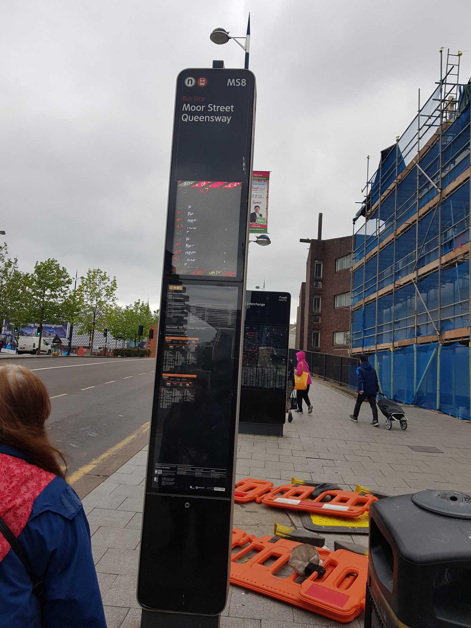 Taken by Abdel N.
See Bus Mall stop, Ladywood, on the map
Public transport to Bus Mall stop (ID: nwmagwja) in Ladywood
Looking for directions to Bus Mall in Ladywood, United Kingdom?
Download the Moovit App to find the current schedule and step-by-step directions for Bus, Train or Light rail routes that pass through Bus Mall.
Looking for the nearest stops closest to Bus Mall ? Check out this list of closest stops to your destination: Bus Mall; Moor St Queensway; Dale House; Albert St; Dale End; Corporation Street (West Midlands Metro); Birmingham Moor Street.
Bus: 16A, 45, 6, 61, 87, X1, X51, 2, 3, 4, 4A, 5, 63, X3, X4, X5, X14, X15, FD, 16, X2.Train: CHILTERN RAILWAYS, WEST MIDLANDS RAILWAY.Light rail: METRO.
We make riding on public transit to Bus Mall easy, which is why over 1.5 million users, including users in Ladywood trust Moovit as the best app for public transit.
Use the app to navigate to popular places including to the airport, hospital, stadium, grocery store, mall, coffee shop, school, college, and university.
Bus Mall stop’s code is nwmagwja
The first line to this stop is 23, at 04:32, and the last line is 23 at 01:08.
This stop serves National Express West Midlands’s lines
Popular routes from Bus Mall stop, Ladywood
- Bus Mall,
- Moor St Queensway,
- Dale House,
- Albert St,
- Dale End
Bus stops near Bus Mall stop
- Corporation Street (West Midlands Metro)
Light Rail station near Bus Mall station
- Birmingham Moor Street
Train station near Bus Mall station
- Knightlow Rd,
- Pets at Home,
- Collingwood Centre,
- Hollybank Rd,
- Chapel Lane,
- Moat House Lane East,
- Rose & Crown,
- Bet365 Offices,
- Morrisons Binley,
- Aston House,
- Golden Hillock Rd,
- Grove Crescent,
- Solihull Gate,
- Museum Of the Gorge Car Park,
- Ray Hall Lane,
- Broadway,
- The Learning Hub,
- Moseley Rd Baths,
- Warwick Grove,
- Castlecroft Road
Popular public transport stations in Ladywood
Get around Ladywood by public transport!
Travelling around Ladywood has never been so easy. See step by step directions as you travel to any attraction, street or major public transport station. View bus and train timetables, arrival times, service alerts and detailed routes on a map, so you know exactly how to get to anywhere in Ladywood.
When travelling to any destination around Ladywood use Moovit's Live Directions with Get Off Notifications to know exactly where and how far to walk, how long to wait for your line , and how many stops are left. Moovit will alert you when it’s time to get off — no need to constantly re-check whether yours is the next stop.
Wondering how to use public transport in Ladywood or how to pay for public transport in Ladywood? Moovit public transport app can help you navigate your way with public transport easily, and at minimum cost. It includes public transport fees, ticket prices, and costs. Looking for a map of Ladywood public transport lines? Moovit public transport app shows all public transport maps in Ladywood with all Bus, Train and Light rail routes and stops on an interactive map.
West Midlands has 3 transport type(s), including: Bus, Train and Light rail, operated by several transport agencies, including National Express West Midlands, National Express Coventry, National Express, Diamond Bus, Arriva Midlands, Stagecoach Midlands, West Midlands Metro, Stagecoach West, Stagecoach South Wales, First Potteries, First Worcestershire, LandFlight, trentbarton, D & G Bus and Flexibus