Colwell Road stop - Wednesday schedule
| Line | Direction | Time |
|---|---|---|
| 899 | Stockbridge Lane | 05:40 |
| 898 | Knowsley Ind Park | 06:16 |
| 12 | Castle Street | 06:20 |
| 12 | Castle Street | 06:38 |
| 899 | Stockbridge Lane | 06:41 |
| 12 | Castle Street | 06:50 |
| 12 | Castle Street | 06:59 |
| 12 | Castle Street | 07:14 |
| 898 | Knowsley Ind Park | 07:16 |
| 12 | Castle Street | 07:29 |
| 899 | Stockbridge Lane | 07:44 |
| C46 | Milton Road, Halton College | 07:44 |
| 611 | Broadgreen International School | 07:45 |
| 12 | Castle Street | 07:51 |
| 102 | Page Moss | 07:55 |
| 898 | Knowsley Ind Park | 08:16 |
| 12 | Queen Square Bus Station | 08:16 |
| 12 | Queen Square Bus Station | 08:42 |
| 899 | Stockbridge Lane | 08:52 |
| 12 | Queen Square Bus Station | 08:53 |
| 102 | Page Moss | 08:55 |
| 12 | Queen Square Bus Station | 09:08 |
| 898 | Knowsley Ind Park | 09:16 |
| 12 | Queen Square Bus Station | 09:27 |
| 12 | Queen Square Bus Station | 09:43 |
Directions to Colwell Road stop (Stockbridge Village) with public transport
The following transport lines have routes that pass near Colwell Road
How to get to Colwell Road stop by bus?
Click on the bus route to see step by step directions with maps, line arrival times and updated time schedules.
How to get to Colwell Road stop by train?
Click on the train route to see step by step directions with maps, line arrival times and updated time schedules.
Bus stops near Colwell Road stop in Stockbridge Village
- Finch Road, 2 min walk,
- Princess Drive, 2 min walk,
- Snowberry Road, 4 min walk,
- Ruscombe Road, 5 min walk,
- The Spinney, 15 min walk,
Bus lines to Colwell Road stop in Stockbridge Village
- 13, Queen Square Bus Station,
- C46, Milton Road, Halton College,
- 698, St John Bosco,
- 839, Port Of Liverpool,
- 898, Knowsley Ind Park,
- 898, Stockbridge Lane,
- 899, Stockbridge Lane,
- 102, Broadgreen Hospital,
- 12, Waterpark Drive,
- 611, Broadgreen International School,
- 258, Huyton Bus Stn,
What are the nearest stations to Colwell Road?
The nearest stations to Colwell Road are:
- Finch Road is 82 meters away, 2 min walk.
- Princess Drive is 100 meters away, 2 min walk.
- Snowberry Road is 268 meters away, 4 min walk.
- Ruscombe Road is 340 meters away, 5 min walk.
- The Spinney is 1153 meters away, 15 min walk.
Which bus lines stop near Colwell Road?
These bus lines stop near Colwell Road: 102, 12, 13, 899.
Which train line stops near Colwell Road?
NORTHERN (Wigan North Western)
What’s the nearest bus stop to Colwell Road in Stockbridge Village?
The nearest bus stops to Colwell Road in Stockbridge Village are Finch Road and Princess Drive. The closest one is a 2 min walk away.
What time is the first bus to Colwell Road in Stockbridge Village?
The 899 is the first bus that goes to Colwell Road in Stockbridge Village. It stops nearby at 04:46.
What time is the last bus to Colwell Road in Stockbridge Village?
The 13 is the last bus that goes to Colwell Road in Stockbridge Village. It stops nearby at 00:19.
Colwell Road station
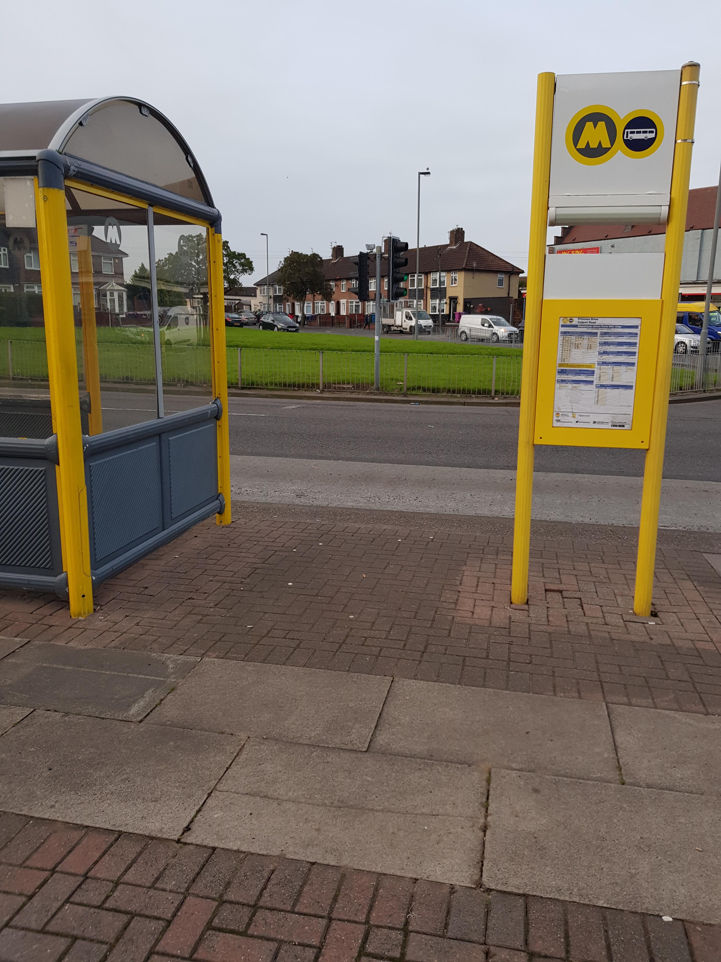 Taken by Anonymous
See Colwell Road stop, Stockbridge Village, on the map
Public transport to Colwell Road stop (ID: merdmgpd) in Stockbridge Village
Looking for directions to Colwell Road in Stockbridge Village, United Kingdom?
Download the Moovit App to find the current schedule and step-by-step directions for Bus or Train routes that pass through Colwell Road.
Looking for the nearest stops closest to Colwell Road ? Check out this list of closest stops to your destination: Finch Road; Princess Drive; Snowberry Road; Ruscombe Road; The Spinney.
Bus: 102, 12, 13, 899, C46, 698, 839, 898, 611, 258.Train: NORTHERN.
We make riding on public transit to Colwell Road easy, which is why over 1.5 million users, including users in Stockbridge Village trust Moovit as the best app for public transit.
Use the app to navigate to popular places including to the airport, hospital, stadium, grocery store, mall, coffee shop, school, college, and university.
Colwell Road stop’s code is merdmgpd
The first line to this stop is 899, at 05:40, and the last line is 12 at 23:45.
This stop serves Al's Coaches, Arriva North West, Huyton Travel, Maghull Coaches and Warrington's Own Buses’s lines
Popular public transport stations in Stockbridge Village
Get around Stockbridge Village by public transport!
Travelling around Stockbridge Village has never been so easy. See step by step directions as you travel to any attraction, street or major public transport station. View bus and train timetables, arrival times, service alerts and detailed routes on a map, so you know exactly how to get to anywhere in Stockbridge Village.
When travelling to any destination around Stockbridge Village use Moovit's Live Directions with Get Off Notifications to know exactly where and how far to walk, how long to wait for your line , and how many stops are left. Moovit will alert you when it’s time to get off — no need to constantly re-check whether yours is the next stop.
Wondering how to use public transport in Stockbridge Village or how to pay for public transport in Stockbridge Village? Moovit public transport app can help you navigate your way with public transport easily, and at minimum cost. It includes public transport fees, ticket prices, and costs. Looking for a map of Stockbridge Village public transport lines? Moovit public transport app shows all public transport maps in Stockbridge Village with all Bus, Train, Light rail and Ferry routes and stops on an interactive map.
North West has 4 transport type(s), including: Bus, Train, Light rail and Ferry, operated by several transport agencies, including National Rail, Blackpool Transport, Metrolink, Foreign Support, Archway Travel, The Blackburn Bus Company, D & G Bus, B & J Travel, Pendle Coaches, Anthony's Travel, Mikro Coaches, Express Travel, Saunders of Preston, Mario Coaches and Pilkingtonbus