Frederick Rd stop - Friday schedule
| Line | Direction | Time |
|---|---|---|
| 80 | Markets | 05:34 |
| 80 | Markets | 06:04 |
| 80 | Markets | 06:30 |
| 80 | Markets | 06:50 |
| 80 | Markets | 07:05 |
| 80 | Markets | 07:17 |
| 80 | Markets | 07:28 |
| 80 | Markets | 07:38 |
| 80 | Markets | 07:49 |
| 80 | Markets | 08:00 |
| 80 | Markets | 08:11 |
| 80 | Markets | 08:20 |
| 80 | Markets | 08:29 |
| 80 | Markets | 08:39 |
| 80 | Markets | 08:50 |
| 80 | Markets | 09:00 |
| 80 | Markets | 09:09 |
| 80 | Markets | 09:18 |
| 80 | Markets | 09:26 |
| 80 | Markets | 09:33 |
| 80 | Markets | 09:43 |
| 80 | Markets | 09:53 |
| 80 | Markets | 10:03 |
| 80 | Markets | 10:13 |
| 80 | Markets | 10:23 |
Directions to Frederick Rd stop (Ladywood) with public transport
The following transport lines have routes that pass near Frederick Rd
 Bus: 23, 24, 80, 8A, 8C.
- Train: WEST MIDLANDS RAILWAY.
- Light rail: METRO.
How to get to Frederick Rd stop by bus?
Click on the bus route to see step by step directions with maps, line arrival times and updated time schedules.
How to get to Frederick Rd stop by train?
Click on the train route to see step by step directions with maps, line arrival times and updated time schedules.
Bus stops near Frederick Rd stop in Ladywood
- Frederick Rd, 1 min walk,
- Five Ways Metro Stop, 3 min walk,
- Five Ways Station, 4 min walk,
- Embassy Drive, 5 min walk,
- Sheepcote St, 6 min walk,
Light Rail stations near Frederick Rd station in Ladywood
- Five Ways (West Midlands Metro), 5 min walk,
Train stations near Frederick Rd station in Ladywood
- Five Ways, 34 min walk,
Bus lines to Frederick Rd stop in Ladywood
- 8A, Pennine Way,
- 10, Colmore Row,
- 23, Bus Mall,
- 24, Dufton Road,
- 822, King Edwards VI Five Ways School,
- 8C, Selston Rd,
- 80, Markets,
- X20, Ladywood - Rubery & Rednal,
- X21, Ladywood - Bartley Green,
- X22, Bartley Green - Ladywood,
- 1, St James Rd,
- X8, St. Peter's - Ladywood,
- 9, Ladywood - Wollaston And Stourbridge Town,
- X10, Ladywood - Brierley Hill,
- 12, Ladywood - St. James's,
- 13, Blackheath - Ladywood,
- 126, St. James's - Ladywood,
- 829, North Edgbaston - Ladywood,
What are the nearest stations to Frederick Rd?
The nearest stations to Frederick Rd are:
- Frederick Rd is 13 meters away, 1 min walk.
- Five Ways Metro Stop is 186 meters away, 3 min walk.
- Five Ways Station is 300 meters away, 4 min walk.
- Five Ways (West Midlands Metro) is 338 meters away, 5 min walk.
- Embassy Drive is 372 meters away, 5 min walk.
- Sheepcote St is 456 meters away, 6 min walk.
- Five Ways is 2601 meters away, 34 min walk.
Which bus lines stop near Frederick Rd?
These bus lines stop near Frederick Rd: 23, 24, 80, 8A, 8C, X10, X20.
Which train line stops near Frederick Rd?
WEST MIDLANDS RAILWAY (Birmingham New Street)
Which light rail line stops near Frederick Rd?
METRO (Edgbaston Village)
What’s the nearest light rail station to Frederick Rd in Ladywood?
The nearest light rail station to Frederick Rd in Ladywood is Five Ways (West Midlands Metro). It’s a 5 min walk away.
What’s the nearest bus station to Frederick Rd in Ladywood?
The nearest bus station to Frederick Rd in Ladywood is Frederick Rd. It’s a 1 min walk away.
What time is the first light rail to Frederick Rd in Ladywood?
The METRO is the first light rail that goes to Frederick Rd in Ladywood. It stops nearby at 05:06.
What time is the last light rail to Frederick Rd in Ladywood?
The METRO is the last light rail that goes to Frederick Rd in Ladywood. It stops nearby at 00:34.
What time is the first train to Frederick Rd in Ladywood?
The WEST MIDLANDS RAILWAY is the first train that goes to Frederick Rd in Ladywood. It stops nearby at 05:47.
What time is the last train to Frederick Rd in Ladywood?
The WEST MIDLANDS RAILWAY is the last train that goes to Frederick Rd in Ladywood. It stops nearby at 00:08.
What time is the first bus to Frederick Rd in Ladywood?
The 9 is the first bus that goes to Frederick Rd in Ladywood. It stops nearby at 04:19.
What time is the last bus to Frederick Rd in Ladywood?
The 9 is the last bus that goes to Frederick Rd in Ladywood. It stops nearby at 01:21.
Frederick Rd station
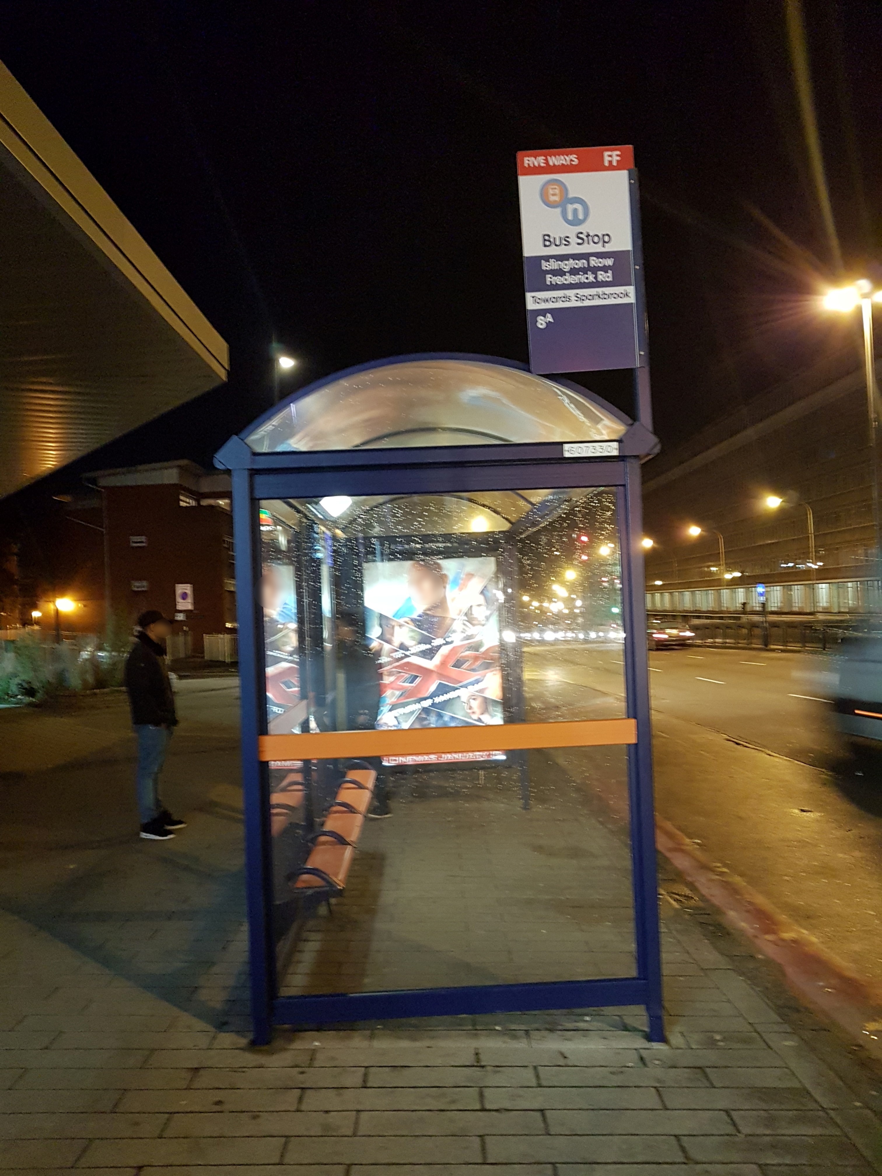 Taken by Preloaded K.
See Frederick Rd stop, Ladywood, on the map
Public transport to Frederick Rd stop (ID: nwmapdjt) in Ladywood
Looking for directions to Frederick Rd in Ladywood, United Kingdom?
Download the Moovit App to find the current schedule and step-by-step directions for Bus, Train or Light rail routes that pass through Frederick Rd.
Looking for the nearest stops closest to Frederick Rd ? Check out this list of closest stops to your destination: Frederick Rd; Five Ways Metro Stop; Five Ways Station; Five Ways (West Midlands Metro); Embassy Drive; Sheepcote St; Five Ways.
Bus: 23, 24, 80, 8A, 8C, X10, X20, 10, 822, X21, X22, 1.Train: WEST MIDLANDS RAILWAY.Light rail: METRO.
We make riding on public transit to Frederick Rd easy, which is why over 1.5 million users, including users in Ladywood trust Moovit as the best app for public transit.
Use the app to navigate to popular places including to the airport, hospital, stadium, grocery store, mall, coffee shop, school, college, and university.
Frederick Rd stop’s code is nwmapdjt
The first line to this stop is 80, at 05:34, and the last line is 80 at 00:15.
This stop serves National Express West Midlands’s lines
- Frederick Rd,
- Five Ways Metro Stop,
- Five Ways Station,
- Embassy Drive,
- Sheepcote St
Bus stops near Frederick Rd stop
- Five Ways (West Midlands Metro)
Light Rail station near Frederick Rd station
- Five Ways
Train station near Frederick Rd station
- Matthew Boulton College,
- Rowley Regis Station,
- Church Rd,
- Atherstone Street,
- Crescent Theatre,
- Bloxwich North,
- Paget High School,
- Rose & Crown,
- St Nicolas Park Drive,
- Penns Lane,
- Long Lartin Prison,
- West Heath Island,
- Moat House Lane East,
- Bloxwich North Station,
- Moorland Road,
- Regent Rd,
- London Marylebone,
- Chad Rd,
- Selly Oak Station,
- Marsh Lane
Popular public transport stations in Ladywood
Get around Ladywood by public transport!
Travelling around Ladywood has never been so easy. See step by step directions as you travel to any attraction, street or major public transport station. View bus and train timetables, arrival times, service alerts and detailed routes on a map, so you know exactly how to get to anywhere in Ladywood.
When travelling to any destination around Ladywood use Moovit's Live Directions with Get Off Notifications to know exactly where and how far to walk, how long to wait for your line , and how many stops are left. Moovit will alert you when it’s time to get off — no need to constantly re-check whether yours is the next stop.
Wondering how to use public transport in Ladywood or how to pay for public transport in Ladywood? Moovit public transport app can help you navigate your way with public transport easily, and at minimum cost. It includes public transport fees, ticket prices, and costs. Looking for a map of Ladywood public transport lines? Moovit public transport app shows all public transport maps in Ladywood with all Bus, Train and Light rail routes and stops on an interactive map.
West Midlands has 3 transport type(s), including: Bus, Train and Light rail, operated by several transport agencies, including National Express West Midlands, National Express Coventry, National Express, Diamond Bus, Arriva Midlands, Stagecoach Midlands, West Midlands Metro, Stagecoach West, Stagecoach South Wales, First Potteries, First Worcestershire, LandFlight, trentbarton, D & G Bus and Flexibus