Honeywell Street/Honeywell Place stop - Thursday schedule
| Line | Direction | Time |
|---|---|---|
| 12 | Barnsley Town Centre | 06:45 |
| 12 | Barnsley Town Centre | 07:11 |
| 12 | Barnsley Town Centre | 07:48 |
| 12 | Barnsley Town Centre | 08:18 |
| 12 | Barnsley Town Centre | 08:38 |
| 12 | Barnsley Town Centre | 08:58 |
| 12 | Barnsley Town Centre | 09:18 |
| 12 | Barnsley Town Centre | 09:38 |
| 12 | Barnsley Town Centre | 09:58 |
| 12 | Barnsley Town Centre | 10:16 |
| 12 | Barnsley Town Centre | 10:36 |
| 12 | Barnsley Town Centre | 10:56 |
| 12 | Barnsley Town Centre | 11:16 |
| 12 | Barnsley Town Centre | 11:36 |
| 12 | Barnsley Town Centre | 11:56 |
| 12 | Barnsley Town Centre | 12:17 |
| 12 | Barnsley Town Centre | 12:37 |
| 12 | Barnsley Town Centre | 12:57 |
| 12 | Barnsley Town Centre | 13:17 |
| 12 | Barnsley Town Centre | 13:37 |
| 12 | Barnsley Town Centre | 13:57 |
| 12 | Barnsley Town Centre | 14:17 |
| 12 | Barnsley Town Centre | 14:39 |
| 12 | Barnsley Town Centre | 14:59 |
| 12 | Barnsley Town Centre | 15:23 |
Directions to Honeywell Street / Honeywell Place stop (Barnsley) with public transport
The following transport lines have routes that pass near Honeywell Street / Honeywell Place
How to get to Honeywell Street / Honeywell Place stop by bus?
Click on the bus route to see step by step directions with maps, line arrival times and updated time schedules.
How to get to Honeywell Street / Honeywell Place stop by train?
Click on the train route to see step by step directions with maps, line arrival times and updated time schedules.
Bus stops near Honeywell Street / Honeywell Place stop in Barnsley
- Honeywell Street/Honeywell Place, 1 min walk,
- Eldon Street North/Beckett Street, 6 min walk,
- Harborough Hill Road/Twibell Street, 9 min walk,
- Huddersfield Road/Cockerham Lane, 11 min walk,
- Huddersfield Road/Western Street, 11 min walk,
- Dodworth, 58 min walk,
Bus lines to Honeywell Street / Honeywell Place stop in Barnsley
- 12, Barnsley Town Centre,
- 1, Barnsley Town Centre,
- 11, Barnsley Town Centre,
- 38, Barnsley Town Centre,
- 39, Barnsley Interchange/A15,
- 57, Royston,
- 59, Barnsley Town Centre,
- 59A, Wakefield City Centre,
- 478, West Moor Crescent,
- 481, Monk Bretton & Darfield,
- 94A, Cawthorne,
- 412, Penistone,
- 94A, Denby Dale Intercha,
- NORTHERN, Lincoln Central,
What are the nearest stations to Honeywell Street / Honeywell Place?
The nearest stations to Honeywell Street / Honeywell Place are:
- Honeywell Street/Honeywell Place is 14 meters away, 1 min walk.
- Eldon Street North/Beckett Street is 459 meters away, 6 min walk.
- Harborough Hill Road/Twibell Street is 680 meters away, 9 min walk.
- Huddersfield Road/Cockerham Lane is 787 meters away, 11 min walk.
- Huddersfield Road/Western Street is 843 meters away, 11 min walk.
- Dodworth is 4508 meters away, 58 min walk.
Which bus lines stop near Honeywell Street / Honeywell Place?
These bus lines stop near Honeywell Street / Honeywell Place: 12, 226, 59.
Which train line stops near Honeywell Street / Honeywell Place?
NORTHERN
What’s the nearest bus station to Honeywell Street / Honeywell Place in Barnsley?
The nearest bus station to Honeywell Street / Honeywell Place in Barnsley is Honeywell Street/Honeywell Place. It’s a 1 min walk away.
What time is the first train to Honeywell Street / Honeywell Place in Barnsley?
The NORTHERN is the first train that goes to Honeywell Street / Honeywell Place in Barnsley. It stops nearby at 06:11.
What time is the last train to Honeywell Street / Honeywell Place in Barnsley?
The NORTHERN is the last train that goes to Honeywell Street / Honeywell Place in Barnsley. It stops nearby at 23:33.
What time is the first bus to Honeywell Street / Honeywell Place in Barnsley?
The 59 is the first bus that goes to Honeywell Street / Honeywell Place in Barnsley. It stops nearby at 05:02.
What time is the last bus to Honeywell Street / Honeywell Place in Barnsley?
The 11 is the last bus that goes to Honeywell Street / Honeywell Place in Barnsley. It stops nearby at 00:06.
Honeywell Street / Honeywell Place station
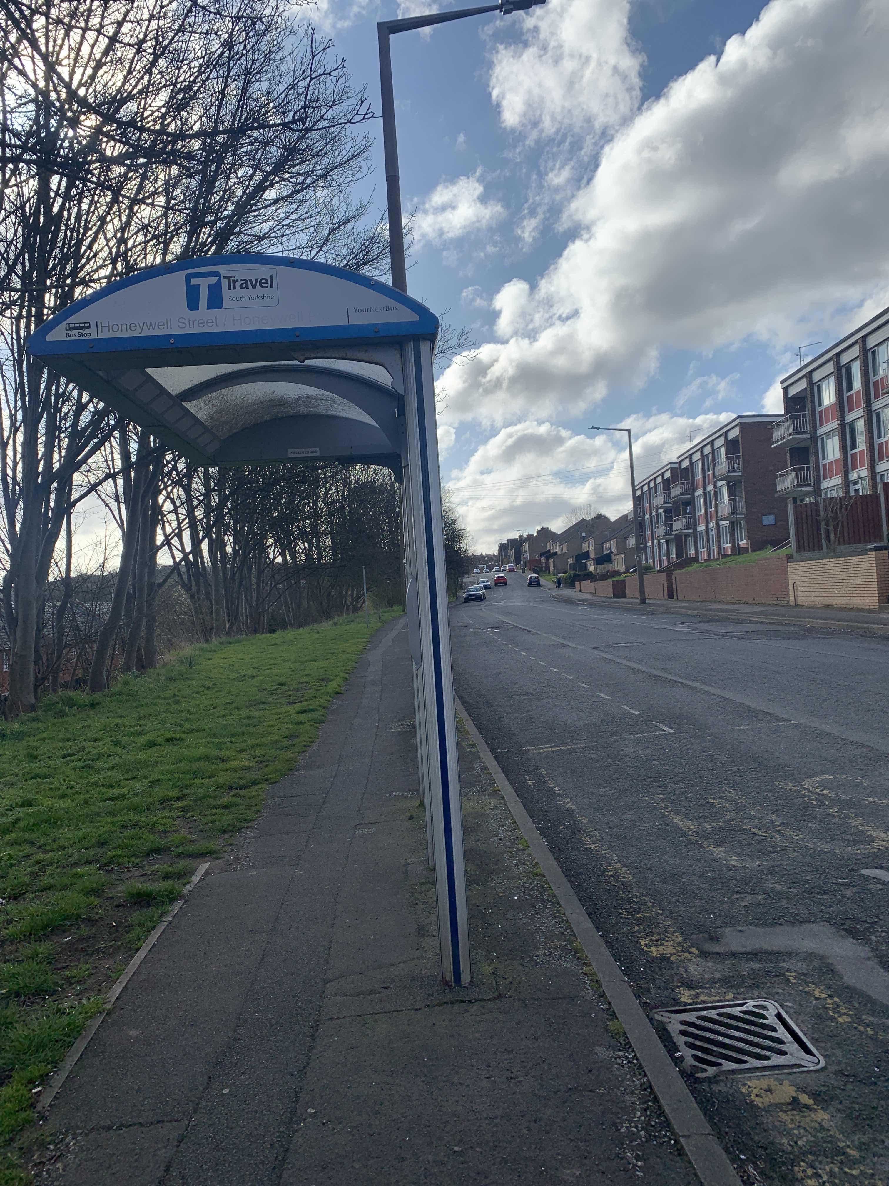 Taken by Anonymous
See Honeywell Street / Honeywell Place stop, Barnsley, on the map
Public transport to Honeywell Street/Honeywell Place stop (ID: 37050542) in Barnsley
Looking for directions to Honeywell Street / Honeywell Place in Barnsley, United Kingdom?
Download the Moovit App to find the current schedule and step-by-step directions for Bus or Train routes that pass through Honeywell Street / Honeywell Place.
Looking for the nearest stops closest to Honeywell Street / Honeywell Place ? Check out this list of closest stops to your destination: Honeywell Street/Honeywell Place; Eldon Street North/Beckett Street; Harborough Hill Road/Twibell Street; Huddersfield Road/Cockerham Lane; Huddersfield Road/Western Street; Dodworth.
Bus: 12, 226, 59, 1, 11, 38, 39, 57, 478, 481, 94A, 412, 94A, NORTHERN.Train: NORTHERN.
We make riding on public transit to Honeywell Street / Honeywell Place easy, which is why over 1.5 million users, including users in Barnsley trust Moovit as the best app for public transit.
Use the app to navigate to popular places including to the airport, hospital, stadium, grocery store, mall, coffee shop, school, college, and university.
Honeywell Street/Honeywell Place stop’s code is 37050542
The first line to this stop is 12, at 06:45, and the last line is 12 at 22:34.
This stop serves Stagecoach Yorkshire’s lines
Bus stops near Honeywell Street/Honeywell Place stop
Popular public transport stations in Barnsley
Get around Barnsley by public transport!
Travelling around Barnsley has never been so easy. See step by step directions as you travel to any attraction, street or major public transport station. View bus and train timetables, arrival times, service alerts and detailed routes on a map, so you know exactly how to get to anywhere in Barnsley.
When travelling to any destination around Barnsley use Moovit's Live Directions with Get Off Notifications to know exactly where and how far to walk, how long to wait for your line , and how many stops are left. Moovit will alert you when it’s time to get off — no need to constantly re-check whether yours is the next stop.
Wondering how to use public transport in Barnsley or how to pay for public transport in Barnsley? Moovit public transport app can help you navigate your way with public transport easily, and at minimum cost. It includes public transport fees, ticket prices, and costs. Looking for a map of Barnsley public transport lines? Moovit public transport app shows all public transport maps in Barnsley with all Bus, Train and Light rail routes and stops on an interactive map.
Yorkshire has 3 transport type(s), including: Bus, Train and Light rail, operated by several transport agencies, including First Leeds, First South Yorkshire, First York, First West Yorkshire Ltd, Arriva Yorkshire, Stagecoach Yorkshire, National Rail, First Bradford, First Halifax, Calder Valley & Huddersfield, East Yorkshire, The Keighley Bus Company, South Yorkshire Future Tram, The Harrogate Bus Company, TM Travel and Coastliner