Inverness Rd stop - Tuesday schedule
| Line | Direction | Time |
|---|---|---|
| 61 | Moor St Queensway | 04:37 |
| 61 | Moor St Queensway | 05:10 |
| 61 | Moor St Queensway | 05:40 |
| 61 | Moor St Queensway | 05:58 |
| 18 | Yardley Wood Depot | 06:07 |
| 27 | Solihull Station Road | 06:09 |
| 61 | Moor St Queensway | 06:15 |
| 61 | Moor St Queensway | 06:26 |
| 18 | Yardley Wood Depot | 06:27 |
| 61 | Moor St Queensway | 06:37 |
| 27 | Highfield Road/Tixall Road | 06:39 |
| 61 | Moor St Queensway | 06:48 |
| 18 | Yardley Wood Depot | 06:49 |
| 61 | Moor St Queensway | 06:58 |
| 61 | Moor St Queensway | 07:06 |
| 18 | Yardley Wood Depot | 07:08 |
| 27 | Solihull Station Road | 07:09 |
| 61 | Moor St Queensway | 07:15 |
| 18 | Yardley Wood Depot | 07:21 |
| 61 | Moor St Queensway | 07:24 |
| 61 | Moor St Queensway | 07:32 |
| 18 | Yardley Wood Depot | 07:34 |
| 27 | Highfield Road/Tixall Road | 07:39 |
| 61 | Moor St Queensway | 07:40 |
| 18 | Yardley Wood Depot | 07:46 |
Directions to Inverness Rd stop (Allens Cross) with public transport
The following transport lines have routes that pass near Inverness Rd
 Bus: 18, 61, 27, 55, 878.
- Train: WEST MIDLANDS RAILWAY.
How to get to Inverness Rd stop by bus?
Click on the bus route to see step by step directions with maps, line arrival times and updated time schedules.
How to get to Inverness Rd stop by train?
Click on the train route to see step by step directions with maps, line arrival times and updated time schedules.
Bus stops near Inverness Rd stop in Allens Cross
- Inverness Rd, 2 min walk,
- The Black Horse, 7 min walk,
- Quarry Lane, 8 min walk,
Train stations near Inverness Rd station in Allens Cross
- Selly Oak, 14 min walk,
Bus lines to Inverness Rd stop in Allens Cross
- 18, Yardley Wood Depot,
- 27, Northfield, Bell Lane,
- 55, Tesco,
- 61, Arden Rd Terminus,
- 878, Arden Walk,
- 39, Longbridge & West Heath - Quinton,
- 39A, Bartley Green - Longbridge & West Heath,
- 39S, Quinton - Longbridge & West Heath,
- 19, Supermarket,
- X20, University Station,
- 63, Moor St Queensway,
What are the nearest stations to Inverness Rd?
The nearest stations to Inverness Rd are:
- Inverness Rd is 119 meters away, 2 min walk.
- The Black Horse is 479 meters away, 7 min walk.
- Quarry Lane is 598 meters away, 8 min walk.
- Selly Oak is 1056 meters away, 14 min walk.
Which bus lines stop near Inverness Rd?
These bus lines stop near Inverness Rd: 18, 61.
Which train line stops near Inverness Rd?
WEST MIDLANDS RAILWAY (Bromsgrove)
What’s the nearest train station to Inverness Rd in Allens Cross?
The nearest train station to Inverness Rd in Allens Cross is Selly Oak. It’s a 14 min walk away.
What’s the nearest bus station to Inverness Rd in Allens Cross?
The nearest bus station to Inverness Rd in Allens Cross is Inverness Rd. It’s a 2 min walk away.
What time is the first train to Inverness Rd in Allens Cross?
The WEST MIDLANDS RAILWAY is the first train that goes to Inverness Rd in Allens Cross. It stops nearby at 09:13.
What time is the last train to Inverness Rd in Allens Cross?
The WEST MIDLANDS RAILWAY is the last train that goes to Inverness Rd in Allens Cross. It stops nearby at 23:37.
What time is the first bus to Inverness Rd in Allens Cross?
The 63 is the first bus that goes to Inverness Rd in Allens Cross. It stops nearby at 03:29.
What time is the last bus to Inverness Rd in Allens Cross?
The 63 is the last bus that goes to Inverness Rd in Allens Cross. It stops nearby at 02:42.
Inverness Rd station
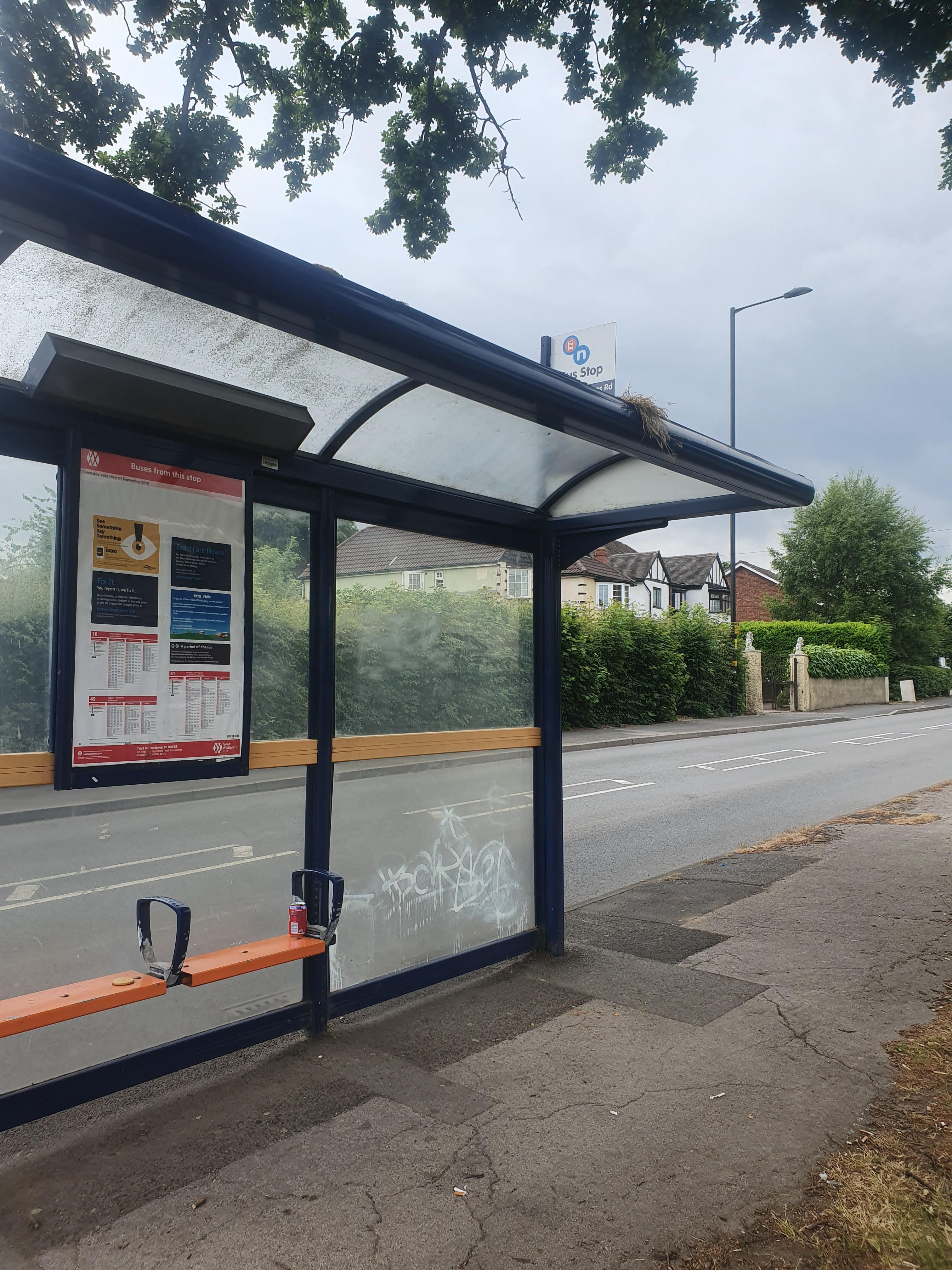 Taken by Anonymous
See Inverness Rd stop, Allens Cross, on the map
Public transport to Inverness Rd stop (ID: nwmatpwp) in Allens Cross
Looking for directions to Inverness Rd in Allens Cross, United Kingdom?
Download the Moovit App to find the current schedule and step-by-step directions for Bus or Train routes that pass through Inverness Rd.
Looking for the nearest stops closest to Inverness Rd ? Check out this list of closest stops to your destination: Inverness Rd; The Black Horse; Quarry Lane; Selly Oak.
Bus: 18, 61, 27, 55, 878, 39, 39A, 39S, 19, X20, 63.Train: WEST MIDLANDS RAILWAY.
We make riding on public transit to Inverness Rd easy, which is why over 1.5 million users, including users in Allens Cross trust Moovit as the best app for public transit.
Use the app to navigate to popular places including to the airport, hospital, stadium, grocery store, mall, coffee shop, school, college, and university.
Inverness Rd stop’s code is nwmatpwp
The first line to this stop is 61, at 04:37, and the last line is 18 at 23:35.
This stop serves Diamond Bus, National Express West Midlands and Kevs Cars and Coaches’s lines
- Inverness Rd,
- The Black Horse,
- Quarry Lane
Bus stops near Inverness Rd stop
- Selly Oak
Train station near Inverness Rd station
- James Watt College,
- Health Centre,
- Bloxwich North Station,
- Elmbank Court,
- Walsall Bus Station,
- Solihull Gate,
- Witton Station,
- Old Repertory Theatre,
- Water Orton Lane,
- Oakley Farm,
- Northfield Shopping Centre,
- Beaufort Avenue,
- New Cross Hospital,
- Hinckley,
- Antrobus Rd,
- Rowan Close,
- Tesco,
- Smiths Wood Academy,
- Quinton Cemetery,
- Maxstoke Lane
Popular public transport stations in Allens Cross
Get around Allens Cross by public transport!
Travelling around Allens Cross has never been so easy. See step by step directions as you travel to any attraction, street or major public transport station. View bus and train timetables, arrival times, service alerts and detailed routes on a map, so you know exactly how to get to anywhere in Allens Cross.
When travelling to any destination around Allens Cross use Moovit's Live Directions with Get Off Notifications to know exactly where and how far to walk, how long to wait for your line , and how many stops are left. Moovit will alert you when it’s time to get off — no need to constantly re-check whether yours is the next stop.
Wondering how to use public transport in Allens Cross or how to pay for public transport in Allens Cross? Moovit public transport app can help you navigate your way with public transport easily, and at minimum cost. It includes public transport fees, ticket prices, and costs. Looking for a map of Allens Cross public transport lines? Moovit public transport app shows all public transport maps in Allens Cross with all Bus, Train and Light rail routes and stops on an interactive map.
West Midlands has 3 transport type(s), including: Bus, Train and Light rail, operated by several transport agencies, including National Express West Midlands, National Express Coventry, National Express, Diamond Bus, Arriva Midlands, Stagecoach Midlands, West Midlands Metro, Stagecoach West, Stagecoach South Wales, First Potteries, First Worcestershire, LandFlight, trentbarton, D & G Bus and Flexibus