Low Poppleton Lane stop - Saturday schedule
| Line | Direction | Time |
|---|---|---|
| 200 | James Street | 04:52 |
| 200 | James Street | 04:52 |
| 200 | James Street | 05:57 |
| 200 | James Street | 05:57 |
| 10 | Stamford Bridge | 06:24 |
| 10 | Stamford Bridge | 06:24 |
| 200 | James Street | 07:02 |
| 200 | James Street | 07:02 |
| 5A | Strensall | 07:03 |
| 5A | Strensall | 07:03 |
| 10 | Stamford Bridge | 07:29 |
| 10 | Stamford Bridge | 07:29 |
| 10 | Stamford Bridge | 07:59 |
| 10 | Stamford Bridge | 07:59 |
| 5A | Strensall | 08:01 |
| 5A | Strensall | 08:01 |
| 82 | York | 08:10 |
| 10 | Stamford Bridge | 08:32 |
| 10 | Stamford Bridge | 08:32 |
| 5A | Strensall | 09:00 |
| 5A | Strensall | 09:00 |
| 10 | Stamford Bridge | 09:05 |
| 10 | Stamford Bridge | 09:05 |
| 82 | York | 09:14 |
| 5 | Strensall | 09:29 |
Directions to Low Poppleton Lane stop (York) with public transport
The following transport lines have routes that pass near Low Poppleton Lane
 Bus: 10, 5A, 82, 84, 5.
- Train: CROSSCOUNTRY, GRAND CENTRAL, LONDON NORTH EASTERN RAILWAY, NORTHERN, NORTHERN.
How to get to Low Poppleton Lane stop by bus?
Click on the bus route to see step by step directions with maps, line arrival times and updated time schedules.
Bus stops near Low Poppleton Lane stop in York
- Low Poppleton Lane, 1 min walk,
- Beckfield Lane End, 2 min walk,
- The Green Tree, 3 min walk,
- Langley Gate, 8 min walk,
Train stations near Low Poppleton Lane station in York
- York, 17 min walk,
Bus lines to Low Poppleton Lane stop in York
- 5, Acomb Library,
- 5A, Acomb Green,
- 10, Stamford Bridge,
- 10L, Stamford Bridge,
- M31, Helmsley,
- 74, Grassington,
- 82, Boroughbridge,
- 83, Ripon Bus Station,
- 84, Wheatlands,
- 825, Richmond,
- M1, Askham Bryan College,
- 200, James Street,
- 59, Poppleton Bar Park & Ride,
What are the nearest stations to Low Poppleton Lane?
The nearest stations to Low Poppleton Lane are:
- Low Poppleton Lane is 3 meters away, 1 min walk.
- Beckfield Lane End is 141 meters away, 2 min walk.
- The Green Tree is 185 meters away, 3 min walk.
- Langley Gate is 592 meters away, 8 min walk.
- York is 1303 meters away, 17 min walk.
Which bus lines stop near Low Poppleton Lane?
These bus lines stop near Low Poppleton Lane: 10, 5A, 82, 84.
What’s the nearest train station to Low Poppleton Lane in York?
The nearest train station to Low Poppleton Lane in York is York. It’s a 17 min walk away.
What’s the nearest bus station to Low Poppleton Lane in York?
The nearest bus station to Low Poppleton Lane in York is Low Poppleton Lane. It’s a 1 min walk away.
What time is the first train to Low Poppleton Lane in York?
The TRANSPENNINE EXPRESS is the first train that goes to Low Poppleton Lane in York. It stops nearby at 03:05.
What time is the last train to Low Poppleton Lane in York?
The TRANSPENNINE EXPRESS is the last train that goes to Low Poppleton Lane in York. It stops nearby at 04:56.
What time is the first bus to Low Poppleton Lane in York?
The 200 is the first bus that goes to Low Poppleton Lane in York. It stops nearby at 04:50.
What time is the last bus to Low Poppleton Lane in York?
The NORTHERN is the last bus that goes to Low Poppleton Lane in York. It stops nearby at 01:20.
Low Poppleton Lane station
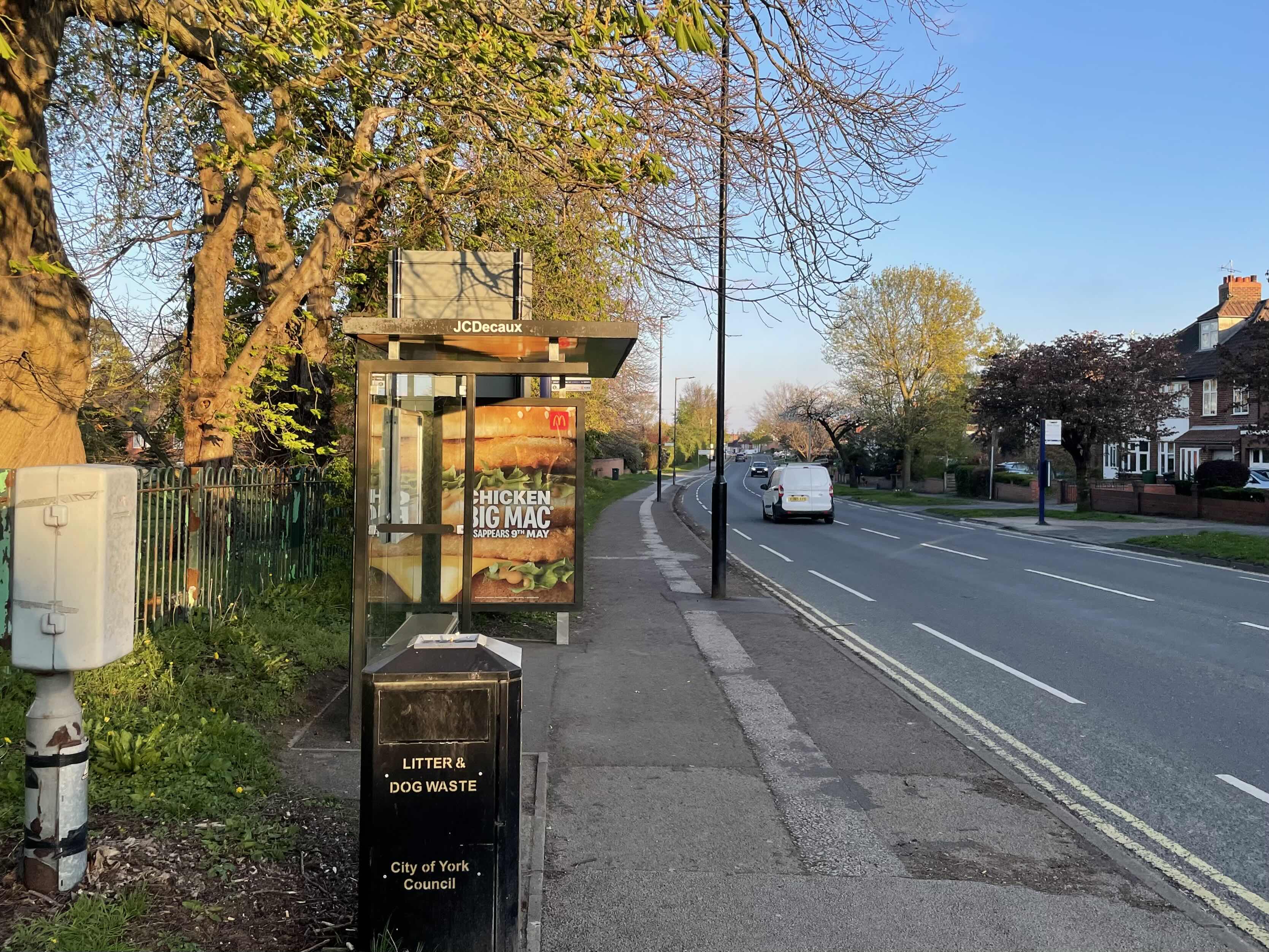 Taken by Robert J.
See Low Poppleton Lane stop, York, on the map
Public transport to Low Poppleton Lane stop (ID: 32900005) in York
Looking for directions to Low Poppleton Lane in York, United Kingdom?
Download the Moovit App to find the current schedule and step-by-step directions for Bus routes that pass through Low Poppleton Lane.
Looking for the nearest stops closest to Low Poppleton Lane ? Check out this list of closest stops to your destination: Low Poppleton Lane; Beckfield Lane End; The Green Tree; Langley Gate; York.
Bus: 10, 5A, 82, 84, 5, 10L, M31, M1, 200, 59.Train: CROSSCOUNTRY, GRAND CENTRAL, LONDON NORTH EASTERN RAILWAY, NORTHERN, NORTHERN.
We make riding on public transit to Low Poppleton Lane easy, which is why over 1.5 million users, including users in York trust Moovit as the best app for public transit.
Use the app to navigate to popular places including to the airport, hospital, stadium, grocery store, mall, coffee shop, school, college, and university.
Low Poppleton Lane stop’s code is 32900005
The first line to this stop is 200, at 04:52, and the last line is 5A at 23:09.
Boroughbridge Road, York, England, United Kingdom
This stop serves East Yorkshire, First York and Coastliner’s lines
Popular routes from Low Poppleton Lane stop, York
- Low Poppleton Lane,
- Beckfield Lane End,
- The Green Tree,
- Langley Gate
Bus stops near Low Poppleton Lane stop
- York
Train station near Low Poppleton Lane station
- Green Lane,
- Welburn,
- Pinderfields Hospital,
- Manvers Way/Meadows Road,
- North Bridge Road/Church Way,
- Great North Road/Kings Wood,
- Grindleford,
- Racecourse Road/Wathwood Road,
- Morley Town Hall A,
- Waterthorpe Greenway/Eckington Way,
- Eckington Way/Station Road,
- Wrose Rd Roundabout,
- Harrogate Drive/Hill Top Road,
- Felcourt Drive,
- Scarbottom,
- Armley Town Street,
- Grosmont,
- Willerby Main Street,
- Knavesmire Primary School,
- Royal Hall
Popular public transport stations in York
Get around York by public transport!
Travelling around York has never been so easy. See step by step directions as you travel to any attraction, street or major public transport station. View bus and train timetables, arrival times, service alerts and detailed routes on a map, so you know exactly how to get to anywhere in York.
When travelling to any destination around York use Moovit's Live Directions with Get Off Notifications to know exactly where and how far to walk, how long to wait for your line , and how many stops are left. Moovit will alert you when it’s time to get off — no need to constantly re-check whether yours is the next stop.
Wondering how to use public transport in York or how to pay for public transport in York? Moovit public transport app can help you navigate your way with public transport easily, and at minimum cost. It includes public transport fees, ticket prices, and costs. Looking for a map of York public transport lines? Moovit public transport app shows all public transport maps in York with all Bus, Train and Light rail routes and stops on an interactive map.
Yorkshire has 3 transport type(s), including: Bus, Train and Light rail, operated by several transport agencies, including First Leeds, First South Yorkshire, First York, Arriva Yorkshire, Stagecoach Yorkshire, National Rail, First Bradford, First Halifax, Calder Valley & Huddersfield, East Yorkshire, The Keighley Bus Company, South Yorkshire Future Tram, The Harrogate Bus Company, TM Travel, Coastliner and Stevenson's Travel