Pinderfields Hospital stop - Friday schedule
| Line | Direction | Time |
|---|---|---|
| 111 | Pinderfields Hospital | 05:10 |
| 103 | Bus Station | 05:11 |
| 103 | Pinderfields Hospital | 05:43 |
| 111 | Bus Station | 05:46 |
| 111 | Pinderfields Hospital | 06:10 |
| 103 | Bus Station | 06:11 |
| 103 | Pinderfields Hospital | 06:43 |
| 111 | Bus Station | 06:46 |
| 111 | Pinderfields Hospital | 06:55 |
| 103 | Bus Station | 06:56 |
| 111 | Pinderfields Hospital | 07:25 |
| 103 | Bus Station | 07:26 |
| 103 | Pinderfields Hospital | 07:28 |
| 111 | Bus Station | 07:31 |
| 111 | Pinderfields Hospital | 07:55 |
| 103 | Bus Station | 07:56 |
| 103 | Pinderfields Hospital | 07:58 |
| 111 | Bus Station | 08:01 |
| 111 | Pinderfields Hospital | 08:25 |
| 103 | Bus Station | 08:26 |
| 103 | Pinderfields Hospital | 08:28 |
| 111 | Bus Station | 08:31 |
| 111 | Pinderfields Hospital | 08:55 |
| 103 | Bus Station | 08:56 |
| 103 | Pinderfields Hospital | 08:58 |
Directions to Pinderfields Hospital stop (Wakefield) with public transport
The following transport lines have routes that pass near Pinderfields Hospital
 Bus: 103, 111, 425, 444, 446.
- Train: NORTHERN.
How to get to Pinderfields Hospital stop by bus?
Click on the bus route to see step by step directions with maps, line arrival times and updated time schedules.
How to get to Pinderfields Hospital stop by train?
Click on the train route to see step by step directions with maps, line arrival times and updated time schedules.
Bus stops near Pinderfields Hospital stop in Wakefield
- Bar Lane Pinderflds Hospital, 5 min walk,
- Pinderfields South, 7 min walk,
- Ivy Lane, 7 min walk,
- Bar Lane, 7 min walk,
- Wakefield Westgate, 8 min walk,
- Eastmoor Rd Pinderfields Road, 9 min walk,
Bus lines to Pinderfields Hospital stop in Wakefield
- 174, Garforth Town End,
- 175, Garforth Main St A,
- 147, Bus Station,
- 157, Miners Arms Ph,
- 444, Bus Stn,
- 446, Bus Station,
- 111, Bus Station,
- 103, Bus Station,
- CROSSCOUNTRY, Birmingham New Street,
- LONDON NORTH EASTERN RAILWAY, London Kings Cross,
- LONDON NORTH EASTERN RAILWAY, Bus Replacement: Leeds,
- NORTHERN, Wakefield Westgate,
- 100, Windhill Post Office,
What are the nearest stations to Pinderfields Hospital?
The nearest stations to Pinderfields Hospital are:
- Bar Lane Pinderflds Hospital stop is 352 meters away, 5 min walk.
- Pinderfields South stop is 490 meters away, 7 min walk.
- Ivy Lane stop is 533 meters away, 7 min walk.
- Bar Lane stop is 536 meters away, 7 min walk.
- Wakefield Westgate stop is 603 meters away, 8 min walk.
- Eastmoor Rd Pinderfields Road stop is 658 meters away, 9 min walk.
Which bus lines stop near Pinderfields Hospital?
These bus lines stop near Pinderfields Hospital: 103, 111, 425, 444, 446.
Which train line stops near Pinderfields Hospital?
NORTHERN (Leeds)
What’s the nearest bus station to Pinderfields Hospital in Wakefield?
The nearest bus station to Pinderfields Hospital in Wakefield is Bar Lane Pinderflds Hospital. It’s a 5 min walk away.
What time is the first train to Pinderfields Hospital in Wakefield?
The LONDON NORTH EASTERN RAILWAY is the first train that goes to Pinderfields Hospital in Wakefield. It stops nearby at 08:22.
What time is the last train to Pinderfields Hospital in Wakefield?
The LONDON NORTH EASTERN RAILWAY is the last train that goes to Pinderfields Hospital in Wakefield. It stops nearby at 00:41.
What time is the first bus to Pinderfields Hospital in Wakefield?
The 446 is the first bus that goes to Pinderfields Hospital in Wakefield. It stops nearby at 08:29.
What time is the last bus to Pinderfields Hospital in Wakefield?
The 111 is the last bus that goes to Pinderfields Hospital in Wakefield. It stops nearby at 23:51.
Pinderfields Hospital station
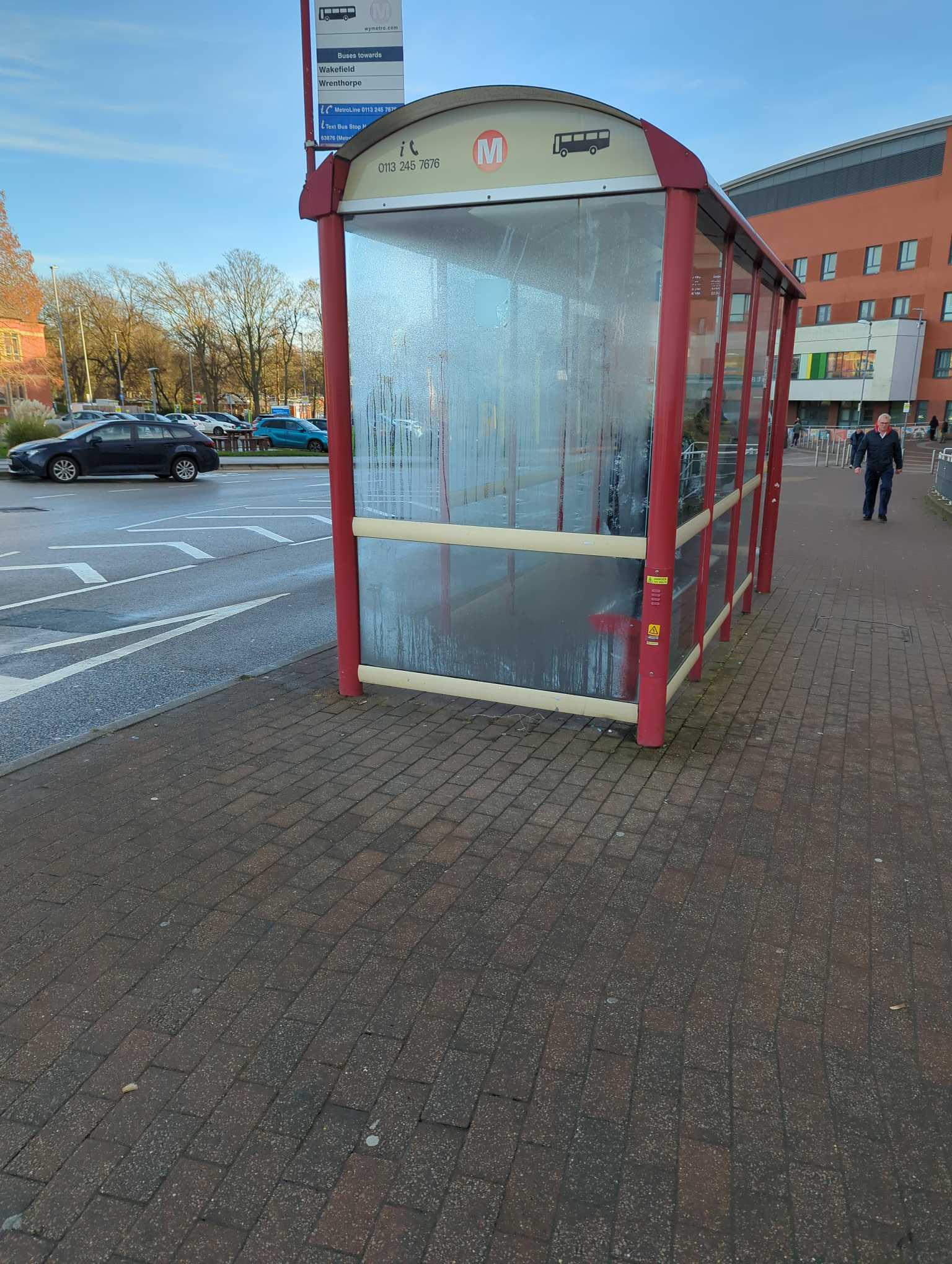 Taken by Anonymous
See Pinderfields Hospital stop, Wakefield, on the map
Public transport to Pinderfields Hospital stop (ID: 45027374) in Wakefield
Looking for directions to Pinderfields Hospital in Wakefield, United Kingdom?
Download the Moovit App to find the current schedule and step-by-step directions for Bus or Train routes that pass through Pinderfields Hospital.
Looking for the nearest stops closest to Pinderfields Hospital ? Check out this list of closest stops to your destination: Bar Lane Pinderflds Hospital; Pinderfields South; Ivy Lane; Bar Lane; Wakefield Westgate; Eastmoor Rd Pinderfields Road.
Bus: 103, 111, 425, 444, 446, 174, 175, 147, 157, CROSSCOUNTRY, LONDON NORTH EASTERN RAILWAY, LONDON NORTH EASTERN RAILWAY, NORTHERN, 100.Train: NORTHERN.
We make riding on public transit to Pinderfields Hospital easy, which is why over 1.7 billion users, including users in Wakefield trust Moovit as the best app for public transit.
Use the app to navigate to popular places including to the airport, hospital, stadium, grocery store, mall, coffee shop, school, college, and university.
Pinderfields Hospital stop’s code is 45027374
The first line to this stop is 111, at 05:10, and the last line is 111 at 23:46.
This stop serves Arriva Yorkshire’s lines
Pinderfields Hospital is an acute District General Hospital in Wakefield, West Yorkshire operated by the Mid Yorkshire Teaching NHS Trust.Wiki

Popular routes from Pinderfields Hospital stop, Wakefield
- Bar Lane Pinderflds Hospital,
- Pinderfields South,
- Ivy Lane,
- Bar Lane,
- Wakefield Westgate,
- Eastmoor Rd Pinderfields Road
Bus stops near Pinderfields Hospital stop
- Sewerby Church Lane,
- Rotherham Road/Burton Road,
- Thornbury Barracks,
- Maple Road/Elm Road,
- Herringthorpe Valley Road/The Lanes,
- Victoria K,
- Penistone,
- Great North Road/Bawtry Forest,
- Commercial Road,
- Halfway House,
- Sandygate Road/Sandygate Park,
- City Square C,
- Dick Lane Junction,
- Harehills Avenue,
- Sherburn High School,
- Headrow L,
- Maltravers Road/Maltravers Way,
- Sherburn-In-Elmet,
- Hayfield Lane/First Avenue,
- Monks Cross Park And Ride
Popular public transport stations in Wakefield
Get around Wakefield by public transport!
Travelling around Wakefield has never been so easy. See step by step directions as you travel to any attraction, street or major public transport station. View bus and train timetables, arrival times, service alerts and detailed routes on a map, so you know exactly how to get to anywhere in Wakefield.
When travelling to any destination around Wakefield use Moovit's Live Directions with Get Off Notifications to know exactly where and how far to walk, how long to wait for your line , and how many stops are left. Moovit will alert you when it’s time to get off — no need to constantly re-check whether yours is the next stop.
Wondering how to use public transport in Wakefield or how to pay for public transport in Wakefield? Moovit public transport app can help you navigate your way with public transport easily, and at minimum cost. It includes public transport fees, ticket prices, and costs. Looking for a map of Wakefield public transport lines? Moovit public transport app shows all public transport maps in Wakefield with all Bus, Train and Light rail routes and stops on an interactive map.
Yorkshire has 3 transport type(s), including: Bus, Train and Light rail, operated by several transport agencies, including First Leeds, First South Yorkshire, First York, Arriva Yorkshire, Stagecoach Yorkshire, National Rail, First Bradford, First Halifax, Calder Valley & Huddersfield, East Yorkshire, The Keighley Bus Company, South Yorkshire Future Tram, The Harrogate Bus Company, TM Travel, Coastliner and Stevenson's Travel