Rowntree Avenue stop - Saturday schedule
| Line | Direction | Time |
|---|---|---|
| 6 | University | 05:49 |
| 6 | University | 05:49 |
| 6 | University | 06:19 |
| 6 | University | 06:19 |
| 6 | University | 06:49 |
| 6 | University | 06:49 |
| 6 | University | 07:20 |
| 6 | University | 07:20 |
| 6 | University | 07:50 |
| 6 | University | 07:50 |
| 6 | University | 08:21 |
| 6 | University | 08:21 |
| 6 | University | 08:51 |
| 6 | University | 08:51 |
| 6 | University | 09:11 |
| 6 | University | 09:11 |
| 6 | University | 09:36 |
| 6 | University | 09:36 |
| 6 | University | 10:01 |
| 6 | University | 10:01 |
| 6 | University | 10:27 |
| 6 | University | 10:27 |
| 6 | University | 10:52 |
| 6 | University | 10:52 |
| 6 | University | 11:13 |
Directions to Rowntree Avenue stop (York) with public transport
The following transport lines have routes that pass near Rowntree Avenue
 Bus: 6, 40, 19.
- Train: CROSSCOUNTRY, GRAND CENTRAL, LONDON NORTH EASTERN RAILWAY, NORTHERN, NORTHERN.
How to get to Rowntree Avenue stop by bus?
Click on the bus route to see step by step directions with maps, line arrival times and updated time schedules.
Bus stops near Rowntree Avenue stop in York
- Burton Green East, 3 min walk,
- Nestle Rowntree, 6 min walk,
- Crichton Avenue Shops, 7 min walk,
Train stations near Rowntree Avenue station in York
- York, 27 min walk,
Bus lines to Rowntree Avenue stop in York
- 6, Clifton Moor,
- 40, York College,
- 19, Rawcliffe Mitre,
What are the nearest stations to Rowntree Avenue?
The nearest stations to Rowntree Avenue are:
- Burton Green East is 217 meters away, 3 min walk.
- Nestle Rowntree is 431 meters away, 6 min walk.
- Crichton Avenue Shops is 527 meters away, 7 min walk.
- York is 2021 meters away, 27 min walk.
Which bus line stops near Rowntree Avenue?
6 (Clifton Moor)
What’s the nearest train station to Rowntree Avenue in York?
The nearest train station to Rowntree Avenue in York is York. It’s a 27 min walk away.
What’s the nearest bus station to Rowntree Avenue in York?
The nearest bus station to Rowntree Avenue in York is Burton Green East. It’s a 3 min walk away.
What time is the first train to Rowntree Avenue in York?
The TRANSPENNINE EXPRESS is the first train that goes to Rowntree Avenue in York. It stops nearby at 03:05.
What time is the last train to Rowntree Avenue in York?
The TRANSPENNINE EXPRESS is the last train that goes to Rowntree Avenue in York. It stops nearby at 04:56.
What time is the first bus to Rowntree Avenue in York?
The 6 is the first bus that goes to Rowntree Avenue in York. It stops nearby at 05:53.
What time is the last bus to Rowntree Avenue in York?
The NORTHERN is the last bus that goes to Rowntree Avenue in York. It stops nearby at 01:20.
Rowntree Avenue station
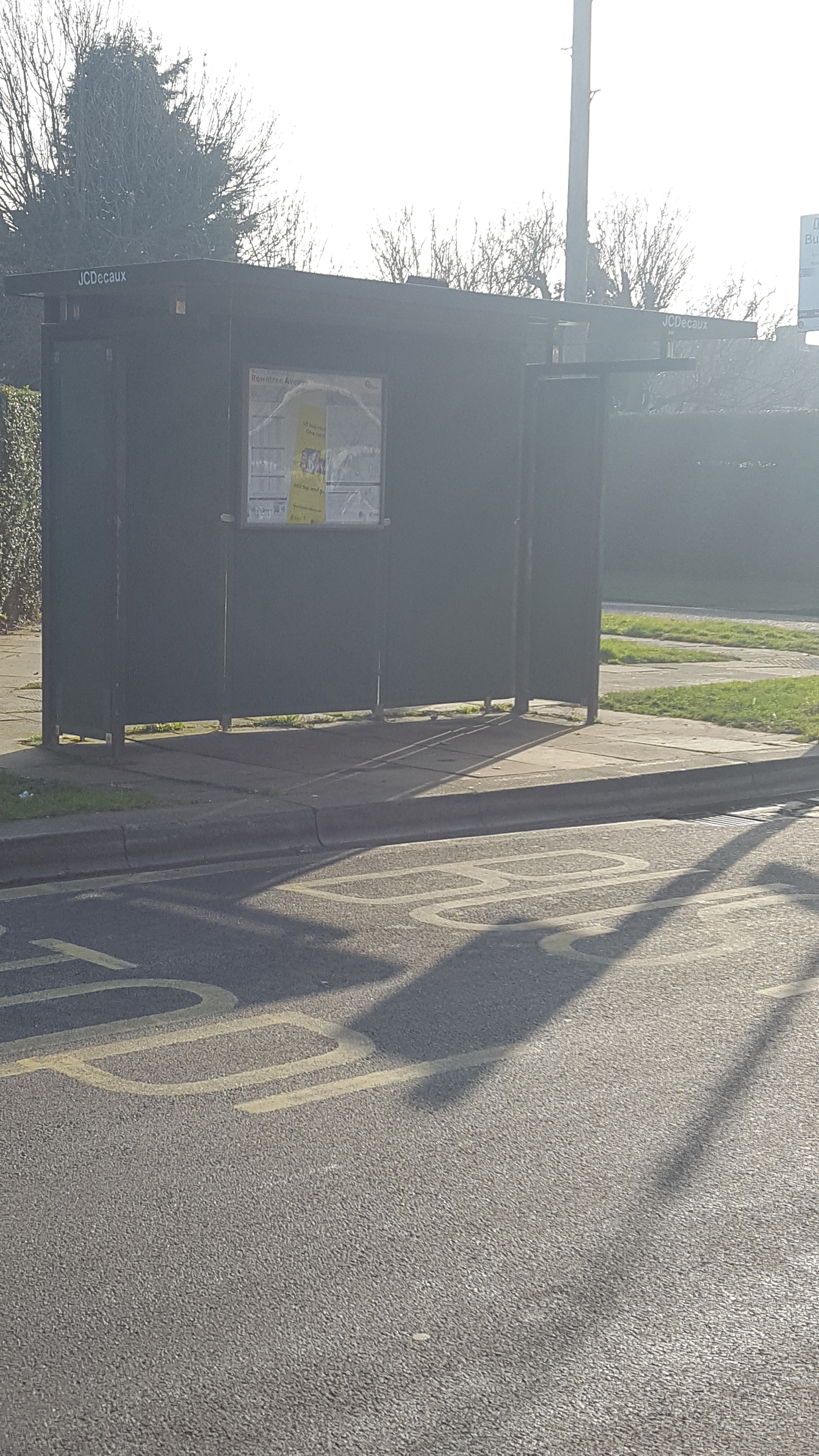 Taken by Becca E.
See Rowntree Avenue stop, York, on the map
Public transport to Rowntree Avenue stop (ID: 32900655) in York
Looking for directions to Rowntree Avenue in York, United Kingdom?
Download the Moovit App to find the current schedule and step-by-step directions for Bus routes that pass through Rowntree Avenue.
Looking for the nearest stops closest to Rowntree Avenue ? Check out this list of closest stops to your destination: Burton Green East; Nestle Rowntree; Crichton Avenue Shops; York.
Bus: 6, 40, 19.Train: CROSSCOUNTRY, GRAND CENTRAL, LONDON NORTH EASTERN RAILWAY, NORTHERN, NORTHERN.
We make riding on public transit to Rowntree Avenue easy, which is why over 1.5 million users, including users in York trust Moovit as the best app for public transit.
Use the app to navigate to popular places including to the airport, hospital, stadium, grocery store, mall, coffee shop, school, college, and university.
Rowntree Avenue stop’s code is 32900655
The first line to this stop is 6, at 05:49, and the last line is 6 at 23:45.
Burton Stone Lane, England, United Kingdom
This stop serves First York’s lines
- Burton Green East,
- Nestle Rowntree,
- Crichton Avenue Shops
Bus stops near Rowntree Avenue stop
- York
Train station near Rowntree Avenue station
- Ecclesall Road/Wadbrough Road,
- Nursery Road/Woodsetts Road,
- Hull Royal Infirmary,
- Spital Hill/Spital Street,
- Thomas Street/St Johns Road,
- Doncaster Interchange,
- Bramall Lane/Rowland Road,
- Wakefield Westgate,
- Midgley,
- Hemper Lane/Hemper Grove,
- Skelton Lane/Skelton Drive,
- Beeston Terminus,
- Goole Airmyn Road,
- Carter Knowle Road/Bannerdale Road,
- Aurora Drive,
- Sandbeds Road,
- Civic Q,
- St John's Church,
- Pontefract Park Gates,
- City Square F
Popular public transport stations in York
Get around York by public transport!
Travelling around York has never been so easy. See step by step directions as you travel to any attraction, street or major public transport station. View bus and train timetables, arrival times, service alerts and detailed routes on a map, so you know exactly how to get to anywhere in York.
When travelling to any destination around York use Moovit's Live Directions with Get Off Notifications to know exactly where and how far to walk, how long to wait for your line , and how many stops are left. Moovit will alert you when it’s time to get off — no need to constantly re-check whether yours is the next stop.
Wondering how to use public transport in York or how to pay for public transport in York? Moovit public transport app can help you navigate your way with public transport easily, and at minimum cost. It includes public transport fees, ticket prices, and costs. Looking for a map of York public transport lines? Moovit public transport app shows all public transport maps in York with all Bus, Train and Light rail routes and stops on an interactive map.
Yorkshire has 3 transport type(s), including: Bus, Train and Light rail, operated by several transport agencies, including First Leeds, First South Yorkshire, First York, Arriva Yorkshire, Stagecoach Yorkshire, National Rail, First Bradford, First Halifax, Calder Valley & Huddersfield, East Yorkshire, The Keighley Bus Company, South Yorkshire Future Tram, The Harrogate Bus Company, TM Travel, Coastliner and Stevenson's Travel