Ruby Street stop - Friday schedule
| Line | Direction | Time |
|---|---|---|
| 281 | Holden Ing Way | 05:18 |
| 283 | Interchange | 05:18 |
| 281 | Holden Ing Way | 06:07 |
| 283 | Interchange | 06:18 |
| 281 | Holden Ing Way | 06:37 |
| 283 | Interchange | 06:53 |
| 281 | Holden Ing Way | 07:07 |
| 283 | Interchange | 07:23 |
| 281 | Holden Ing Way | 07:37 |
| 283 | Interchange | 07:53 |
| 281 | Holden Ing Way | 08:09 |
| 283 | Interchange | 08:28 |
| 281 | Holden Ing Way | 08:48 |
| 283 | Interchange | 09:03 |
| 281 | Holden Ing Way | 09:18 |
| 283 | Interchange | 09:33 |
| 281 | Holden Ing Way | 09:48 |
| 283 | Interchange | 10:03 |
| 281 | Holden Ing Way | 10:18 |
| 283 | Interchange | 10:33 |
| 281 | Holden Ing Way | 10:48 |
| 283 | Interchange | 11:03 |
| 281 | Holden Ing Way | 11:18 |
| 283 | Interchange | 11:33 |
| 281 | Holden Ing Way | 11:48 |
Directions to Ruby Street stop (Heckmondwike) with public transport
The following transport lines have routes that pass near Ruby Street
 Bus: 281, 283, 283A, 213, 271.
- Train: NORTHERN.
How to get to Ruby Street stop by bus?
Click on the bus route to see step by step directions with maps, line arrival times and updated time schedules.
How to get to Ruby Street stop by train?
Click on the train route to see step by step directions with maps, line arrival times and updated time schedules.
Bus stops near Ruby Street stop in Heckmondwike
- Ruby Street, 1 min walk,
- Batley Grammar School, 5 min walk,
- Centenary Place, 6 min walk,
Bus lines to Ruby Street stop in Heckmondwike
- 281, Heckmondwike,
- 283, Heckmondwike - Bradford,
- 283A, Bradford - Heckmondwike,
- 213, Dewsbury Bus Stn,
- 271, Bus Station,
What are the nearest stations to Ruby Street?
The nearest stations to Ruby Street are:
- Ruby Street stop is 28 meters away, 1 min walk.
- Batley Grammar School stop is 381 meters away, 5 min walk.
- Centenary Place stop is 389 meters away, 6 min walk.
Which bus lines stop near Ruby Street?
These bus lines stop near Ruby Street: 281, 283.
Which train line stops near Ruby Street?
NORTHERN (Halifax)
What’s the nearest bus station to Ruby Street in Heckmondwike?
The nearest bus station to Ruby Street in Heckmondwike is Ruby Street. It’s a 1 min walk away.
What time is the first bus to Ruby Street in Heckmondwike?
The 283 is the first bus that goes to Ruby Street in Heckmondwike. It stops nearby at 08:47.
What time is the last bus to Ruby Street in Heckmondwike?
The 283A is the last bus that goes to Ruby Street in Heckmondwike. It stops nearby at 23:05.
Ruby Street station
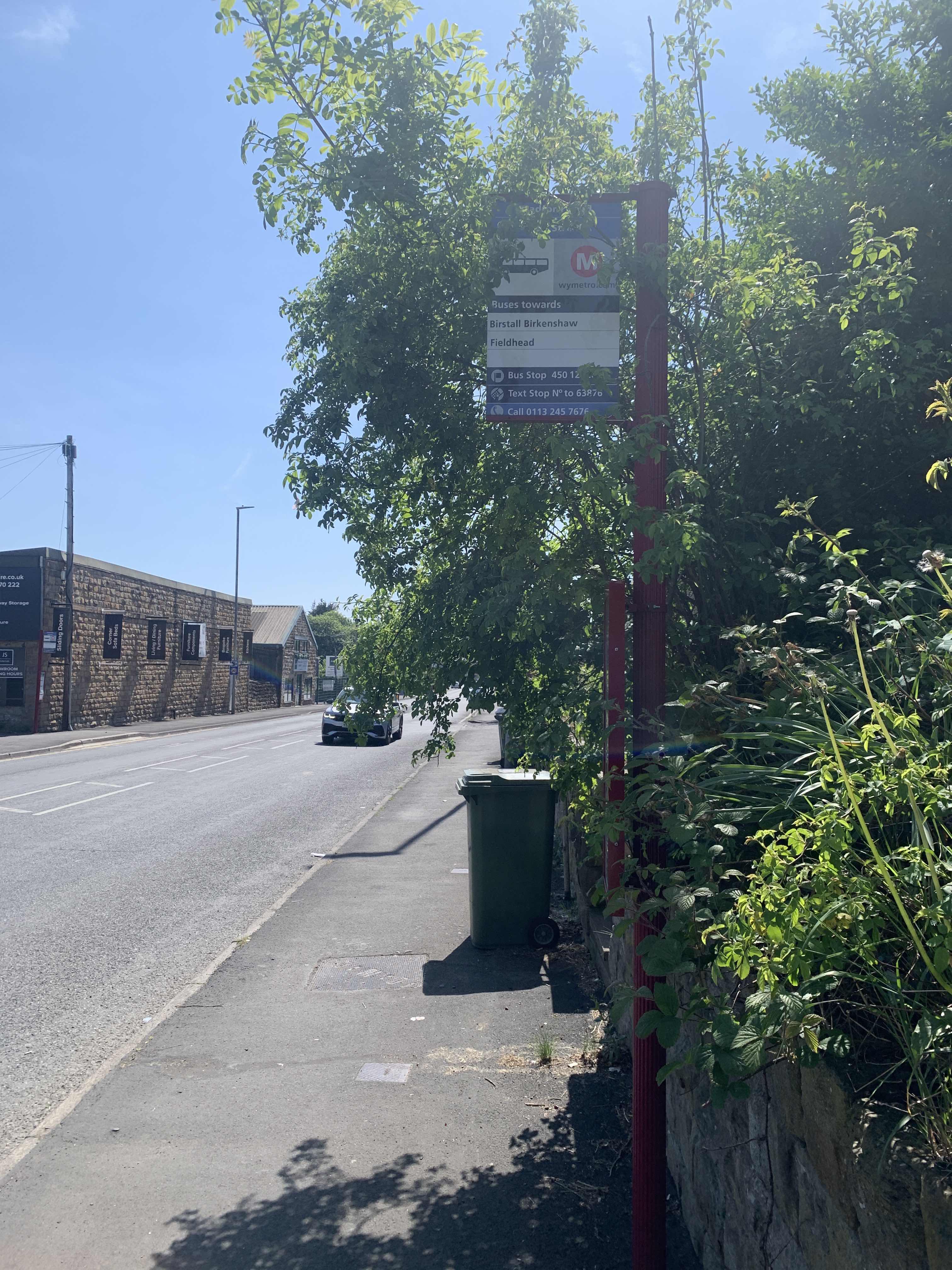 Taken by Anonymous
See Ruby Street stop, Heckmondwike, on the map
Public transport to Ruby Street stop (ID: 45012426) in Heckmondwike
Looking for directions to Ruby Street in Heckmondwike, United Kingdom?
Download the Moovit App to find the current schedule and step-by-step directions for Bus or Train routes that pass through Ruby Street.
Looking for the nearest stops closest to Ruby Street ? Check out this list of closest stops to your destination: Ruby Street; Batley Grammar School; Centenary Place.
Bus: 281, 283, 283A, 213, 271.Train: NORTHERN.
We make riding on public transit to Ruby Street easy, which is why over 1.7 billion users, including users in Heckmondwike trust Moovit as the best app for public transit.
Use the app to navigate to popular places including to the airport, hospital, stadium, grocery store, mall, coffee shop, school, college, and university.
Ruby Street stop’s code is 45012426
The first line to this stop is 281, at 05:18, and the last line is 283A at 22:46.
This stop serves Arriva Yorkshire’s lines
- Ruby Street,
- Batley Grammar School,
- Centenary Place
Bus stops near Ruby Street stop
- Marston Business Park,
- East Bank Road/Berners Road,
- Flamborough North Marine Road,
- Durham Lane/Yorkshire Way,
- Longley Hall Road/Longley Hall Rise,
- Dovecote Park,
- Infirmary Road/Penistone Road,
- Middleton Centre A,
- Peel Street,
- Savile Road,
- Beeston Co-Op,
- High Street/Station Road,
- Doncaster Road,
- Ryton Road/Worksop Road,
- Clifton Gate,
- Penistone Road/Burnell Road,
- Toft House Farm,
- Tudworth Road/Sandtoft Road,
- Pudsey Waterloo,
- Glossop Road/Clarkehouse Road
Popular public transport stations in Heckmondwike
Get around Heckmondwike by public transport!
Travelling around Heckmondwike has never been so easy. See step by step directions as you travel to any attraction, street or major public transport station. View bus and train timetables, arrival times, service alerts and detailed routes on a map, so you know exactly how to get to anywhere in Heckmondwike.
When travelling to any destination around Heckmondwike use Moovit's Live Directions with Get Off Notifications to know exactly where and how far to walk, how long to wait for your line , and how many stops are left. Moovit will alert you when it’s time to get off — no need to constantly re-check whether yours is the next stop.
Wondering how to use public transport in Heckmondwike or how to pay for public transport in Heckmondwike? Moovit public transport app can help you navigate your way with public transport easily, and at minimum cost. It includes public transport fees, ticket prices, and costs. Looking for a map of Heckmondwike public transport lines? Moovit public transport app shows all public transport maps in Heckmondwike with all Bus, Train and Light rail routes and stops on an interactive map.
Yorkshire has 3 transport type(s), including: Bus, Train and Light rail, operated by several transport agencies, including First Leeds, First South Yorkshire, First York, Arriva Yorkshire, Stagecoach Yorkshire, National Rail, First Bradford, First Halifax, Calder Valley & Huddersfield, East Yorkshire, The Keighley Bus Company, South Yorkshire Future Tram, The Harrogate Bus Company, TM Travel, Coastliner and Stevenson's Travel