St Oswald Street stop - Monday schedule
| Line | Direction | Time |
|---|---|---|
| 60 | Bootle New Strand Station | 05:53 |
| 60 | Bootle New Strand Station | 06:15 |
| 60 | Bootle New Strand Station | 06:43 |
| 60 | Bootle New Strand Station | 07:08 |
| 60 | Bootle New Strand Station | 07:26 |
| 60 | Bootle New Strand Station | 07:41 |
| 60 | Bootle New Strand Station | 08:12 |
| 60 | Bootle New Strand Station | 08:30 |
| 60 | Bootle New Strand Station | 08:47 |
| 60 | Bootle New Strand Station | 09:03 |
| 60 | Bootle New Strand Station | 09:13 |
| 60 | Bootle New Strand Station | 09:28 |
| 60 | Bootle New Strand Station | 09:39 |
| 60 | Bootle New Strand Station | 09:53 |
| 60 | Bootle New Strand Station | 10:11 |
| 60 | Bootle New Strand Station | 10:24 |
| 60 | Bootle New Strand Station | 10:37 |
| 60 | Bootle New Strand Station | 10:52 |
| 60 | Bootle New Strand Station | 11:07 |
| 60 | Bootle New Strand Station | 11:23 |
| 60 | Bootle New Strand Station | 11:38 |
| 60 | Bootle New Strand Station | 11:53 |
| 60 | Bootle New Strand Station | 12:08 |
| 60 | Bootle New Strand Station | 12:24 |
| 60 | Bootle New Strand Station | 12:40 |
Directions to St Oswald Street stop (Liverpool) with public transport
The following transport lines have routes that pass near St Oswald Street
How to get to St Oswald Street stop by bus?
Click on the bus route to see step by step directions with maps, line arrival times and updated time schedules.
How to get to St Oswald Street stop by train?
Click on the train route to see step by step directions with maps, line arrival times and updated time schedules.
Bus stops near St Oswald Street stop in Liverpool
- Prescot Road, 1 min walk,
- Booth Street, 2 min walk,
- Fitzgerald Road, 3 min walk,
- Aylesford Road, 4 min walk,
Train stations near St Oswald Street station in Liverpool
- Liverpool Central, 37 min walk,
- Liverpool Lime Street, 40 min walk,
Bus lines to St Oswald Street stop in Liverpool
- C42, Milton Road, Halton College,
- 60, Bootle New Strand Station,
- 62, Coventry Road,
- 68, Ashfield Road,
- 68A, Thomas Drive,
- 68B, Thomas Drive,
- 8, Queen Square Bus Station,
- 8E, Bolan Street,
- 9, Bolan Street,
- 10, Church Street,
- 10A, Church Street,
- 10A, St Helens Bridge St,
- 10B, Elizabeth Road,
- 10S, Evans Street,
- 827, Kirkby Admin,
- 870, Huyton Indust Est,
- 61, Munster Road,
- 61B, Ashfield Road,
- 611, Broadgreen International School,
What are the nearest stations to St Oswald Street?
The nearest stations to St Oswald Street are:
- Prescot Road is 66 meters away, 1 min walk.
- Booth Street is 116 meters away, 2 min walk.
- Fitzgerald Road is 185 meters away, 3 min walk.
- Aylesford Road is 235 meters away, 4 min walk.
- Liverpool Central is 2855 meters away, 37 min walk.
- Liverpool Lime Street is 3096 meters away, 40 min walk.
Which bus lines stop near St Oswald Street?
These bus lines stop near St Oswald Street: 10, 10A, 10B, 60, 62.
Which train line stops near St Oswald Street?
NORTHERN (Wigan North Western)
What’s the nearest bus station to St Oswald Street in Liverpool?
The nearest bus station to St Oswald Street in Liverpool is Prescot Road. It’s a 1 min walk away.
What time is the first train to St Oswald Street in Liverpool?
The TRANSPENNINE EXPRESS is the first train that goes to St Oswald Street in Liverpool. It stops nearby at 05:20.
What time is the last train to St Oswald Street in Liverpool?
The AVANTI WEST COAST is the last train that goes to St Oswald Street in Liverpool. It stops nearby at 00:47.
What time is the first bus to St Oswald Street in Liverpool?
The 10A is the first bus that goes to St Oswald Street in Liverpool. It stops nearby at 04:38.
What time is the last bus to St Oswald Street in Liverpool?
The NORTHERN is the last bus that goes to St Oswald Street in Liverpool. It stops nearby at 01:50.
St Oswald Street station
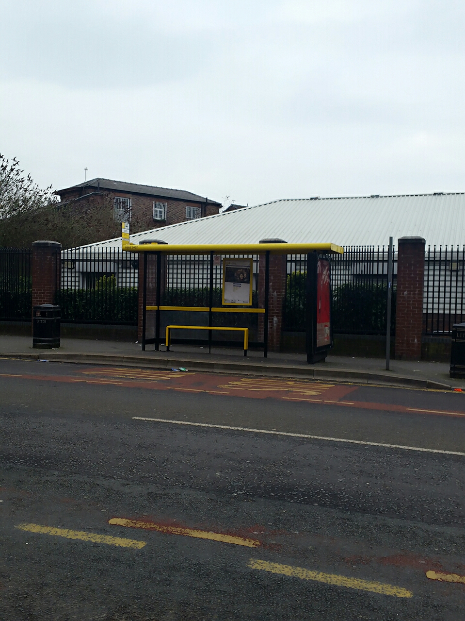 Taken by Saam H.
See St Oswald Street stop, Liverpool, on the map
Public transport to St Oswald Street stop (ID: merdawgp) in Liverpool
Looking for directions to St Oswald Street in Liverpool, United Kingdom?
Download the Moovit App to find the current schedule and step-by-step directions for Bus or Train routes that pass through St Oswald Street.
Looking for the nearest stops closest to St Oswald Street ? Check out this list of closest stops to your destination: Prescot Road; Booth Street; Fitzgerald Road; Aylesford Road; Liverpool Central; Liverpool Lime Street.
Bus: 10, 10A, 10B, 60, 62, C42, 68, 68A, 68B, 8, 8E, 9, 61, 61B.Train: NORTHERN, MERSEYRAIL, AVANTI WEST COAST, EAST MIDLANDS RAILWAY, TRANSPENNINE EXPRESS.
We make riding on public transit to St Oswald Street easy, which is why over 1.5 million users, including users in Liverpool trust Moovit as the best app for public transit.
Use the app to navigate to popular places including to the airport, hospital, stadium, grocery store, mall, coffee shop, school, college, and university.
St Oswald Street stop’s code is merdawgp
The first line to this stop is 60, at 05:53, and the last line is 60 at 00:03.
Derby Lane, Liverpool, England, United Kingdom
This stop serves Arriva North West and Warrington's Own Buses’s lines
Popular public transport stations in Liverpool
Get around Liverpool by public transport!
Travelling around Liverpool has never been so easy. See step by step directions as you travel to any attraction, street or major public transport station. View bus and train timetables, arrival times, service alerts and detailed routes on a map, so you know exactly how to get to anywhere in Liverpool.
When travelling to any destination around Liverpool use Moovit's Live Directions with Get Off Notifications to know exactly where and how far to walk, how long to wait for your line , and how many stops are left. Moovit will alert you when it’s time to get off — no need to constantly re-check whether yours is the next stop.
Wondering how to use public transport in Liverpool or how to pay for public transport in Liverpool? Moovit public transport app can help you navigate your way with public transport easily, and at minimum cost. It includes public transport fees, ticket prices, and costs. Looking for a map of Liverpool public transport lines? Moovit public transport app shows all public transport maps in Liverpool with all Bus, Train, Light rail and Ferry routes and stops on an interactive map.
North West has 4 transport type(s), including: Bus, Train, Light rail and Ferry, operated by several transport agencies, including Arriva North West, Stagecoach Merseyside and South Lancashire, Stagecoach Cumbria and North Lancashire, First Halifax, National Express, Warrington's Own Buses, First Potteries, Rosso, Blackpool Transport, The Blackburn Bus Company, The Burnley Bus Company, Vision Bus, National Rail, Huyton Travel and Stotts Tours