Stop 8A Galway Ave - North side stop - Thursday schedule
| Line | Direction | Time |
|---|---|---|
| 167 | City | 05:37 |
| 168 | City | 06:06 |
| 167 | City | 06:21 |
| 168 | City | 06:35 |
| 167 | City | 06:50 |
| 168 | City | 07:06 |
| 167 | City | 07:20 |
| 168 | City | 07:29 |
| 167 | City | 07:36 |
| 168 | City | 07:46 |
| 167 | City | 07:54 |
| 168 | City | 08:07 |
| 167 | City | 08:19 |
| 168 | City | 08:35 |
| 167 | City | 08:45 |
| 168 | City | 08:56 |
| 167 | City | 09:06 |
| 168 | City | 09:20 |
| 167 | City | 09:35 |
| 168 | City | 09:50 |
| 167 | City | 10:05 |
| 168 | City | 10:20 |
| 167 | City | 10:35 |
| 168 | City | 10:50 |
| 167 | City | 11:05 |
Directions to Stop 8A Galway Ave - North side stop (Adelaide) with public transport
The following transport lines have routes that pass near Stop 8A Galway Ave - North side
How to get to Stop 8A Galway Ave - North side stop by bus?
Click on the bus route to see step by step directions with maps, line arrival times and updated time schedules.
How to get to Stop 8A Galway Ave - North side stop by train?
Click on the train route to see step by step directions with maps, line arrival times and updated time schedules.
Bus stops near Stop 8A Galway Ave - North side stop in Adelaide
- Stop 8A Galway Ave - South side, 1 min walk,
- Stop 8H Marion Rd - East side, 6 min walk,
- Stop 8H Marion Rd - West side, 7 min walk,
- Stop 5A Daly St - North West side, 9 min walk,
- Stop 5A Daly St - South East side, 9 min walk,
Light Rail stations near Stop 8A Galway Ave - North side station in Adelaide
- Stop 9 South Plympton, 25 min walk,
Bus lines to Stop 8A Galway Ave - North side stop in Adelaide
- 167, City,
- 167C, Camden Park,
- 168, City,
- J7, Marion,
- J7M, Camden Park,
- J8, West Lakes,
- H20, Glenelg,
- AO23, Adelaide Oval,
- 100, Glen Osmond,
- 100C, Urrbrae Agricultural High School,
- 100P, Plympton,
- 101, Flinders University,
- H20C, City,
- 100B, Brooklyn Park,
- 100N, Netley,
- 241, Marion,
- 241A, Oaklands Park,
What are the nearest stations to Stop 8A Galway Ave - North side?
The nearest stations to Stop 8A Galway Ave - North side are:
- Stop 8A Galway Ave - South side is 26 meters away, 1 min walk.
- Stop 8H Marion Rd - East side is 454 meters away, 6 min walk.
- Stop 8H Marion Rd - West side is 477 meters away, 7 min walk.
- Stop 5A Daly St - North West side is 640 meters away, 9 min walk.
- Stop 5A Daly St - South East side is 644 meters away, 9 min walk.
- Stop 9 South Plympton is 1898 meters away, 25 min walk.
Which bus lines stop near Stop 8A Galway Ave - North side?
These bus lines stop near Stop 8A Galway Ave - North side: 167, 168, H20.
Which train line stops near Stop 8A Galway Ave - North side?
BEL (City)
What’s the nearest light rail station to Stop 8A Galway Ave - North side in Adelaide?
The nearest light rail station to Stop 8A Galway Ave - North side in Adelaide is Stop 9 South Plympton. It’s a 25 min walk away.
What’s the nearest bus station to Stop 8A Galway Ave - North side in Adelaide?
The nearest bus station to Stop 8A Galway Ave - North side in Adelaide is Stop 8A Galway Ave - South side. It’s a 1 min walk away.
What time is the first light rail to Stop 8A Galway Ave - North side in Adelaide?
The GLNELG is the first light rail that goes to Stop 8A Galway Ave - North side in Adelaide. It stops nearby at 06:13.
What time is the last light rail to Stop 8A Galway Ave - North side in Adelaide?
The GLNELG is the last light rail that goes to Stop 8A Galway Ave - North side in Adelaide. It stops nearby at 01:08.
What time is the first bus to Stop 8A Galway Ave - North side in Adelaide?
The H20 is the first bus that goes to Stop 8A Galway Ave - North side in Adelaide. It stops nearby at 08:04.
What time is the last bus to Stop 8A Galway Ave - North side in Adelaide?
The 168 is the last bus that goes to Stop 8A Galway Ave - North side in Adelaide. It stops nearby at 00:20.
Stop 8A Galway Ave - North side station
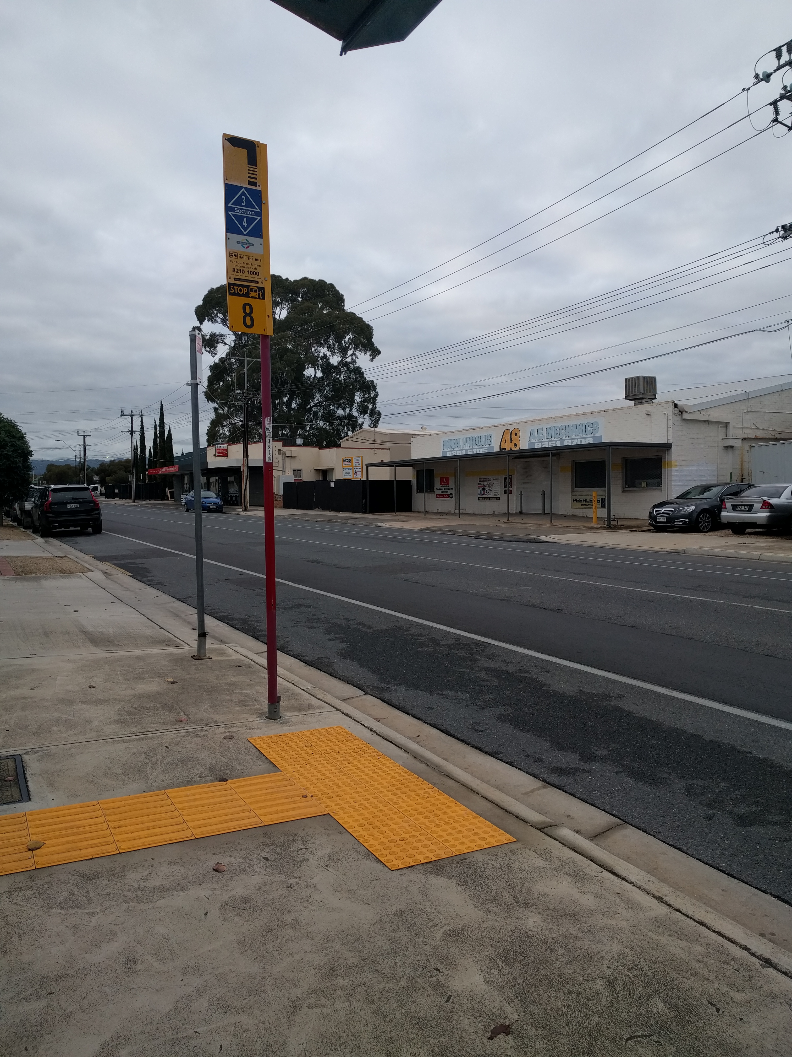 Taken by Anonymous
See Stop 8A Galway Ave - North side stop, Adelaide, on the map
Public transport to Stop 8A Galway Ave - North side stop (ID: 13821) in Adelaide
Looking for directions to Stop 8A Galway Ave - North side in Adelaide, Australia?
Download the Moovit App to find the current schedule and step-by-step directions for Bus or Train routes that pass through Stop 8A Galway Ave - North side.
Looking for the nearest stops closest to Stop 8A Galway Ave - North side ? Check out this list of closest stops to your destination: Stop 8A Galway Ave - South side; Stop 8H Marion Rd - East side; Stop 8H Marion Rd - West side; Stop 5A Daly St - North West side; Stop 5A Daly St - South East side; Stop 9 South Plympton.
Bus: 167, 168, H20, 167C, J7, J7M, J8, AO23, H20C, 100B, 100N, 241, 241A.Train: BEL.
We make riding on public transit to Stop 8A Galway Ave - North side easy, which is why over 1.5 million users, including users in Adelaide trust Moovit as the best app for public transit.
Use the app to navigate to popular places including to the airport, hospital, stadium, grocery store, mall, coffee shop, school, college, and university.
Stop 8A Galway Ave - North side stop’s code is 13821
The first line to this stop is 167, at 05:37, and the last line is 167 at 23:28.
Galway Avenue, Adelaide Airport, SA, Australia
This stop serves Torrens Transit’s lines
Bus stops near Stop 8A Galway Ave - North side stop
Light Rail station near Stop 8A Galway Ave - North side station
Popular public transport stations in Adelaide
Get around Adelaide by public transport!
Travelling around Adelaide has never been so easy. See step by step directions as you travel to any attraction, street or major public transport station. View bus and train timetables, arrival times, service alerts and detailed routes on a map, so you know exactly how to get to anywhere in Adelaide.
When travelling to any destination around Adelaide use Moovit's Live Directions with Get Off Notifications to know exactly where and how far to walk, how long to wait for your line , and how many stops are left. Moovit will alert you when it’s time to get off — no need to constantly re-check whether yours is the next stop.
Wondering how to use public transport in Adelaide or how to pay for public transport in Adelaide? Moovit public transport app can help you navigate your way with public transport easily, and at minimum cost. It includes public transport fees, ticket prices, and costs. Looking for a map of Adelaide public transport lines? Moovit public transport app shows all public transport maps in Adelaide with all Bus, Train and Light rail routes and stops on an interactive map.
Adelaide has 3 transport type(s), including: Bus, Train and Light rail, operated by several transport agencies, including Adelaide Metro (Busways), SouthLink, Torrens Transit, Adelaide Metro Train, Adelaide Metro (Torrens Connect), Adelaide Metro (Industrial Service - Torrens Transit), Adelaide Metro (School Service - SouthLink), Adelaide Metro (School Service - Torrens Transit) and Adelaide Metro (School Service - Busways)