The Apollo stop - Wednesday schedule
| Line | Direction | Time |
|---|---|---|
| 57 | Hessle Square | 05:07 |
| 8 | Hull Interchange | 05:08 |
| 8 | Hull Interchange | 05:38 |
| 56 | Castle Hill | 05:40 |
| 8 | Hull Interchange | 06:08 |
| 57 | Hessle Square | 06:10 |
| 11 | Hull Interchange | 06:18 |
| 8 | Hull Interchange | 06:25 |
| 57 | Hessle Square | 06:40 |
| 8 | Hull Interchange | 06:40 |
| 11 | Hull Interchange | 06:48 |
| 15 | Hull Interchange | 06:48 |
| 56 | Castle Hill | 06:55 |
| 8 | Hull Interchange | 06:55 |
| 8 | Hull Interchange | 07:11 |
| 57 | Hessle Square | 07:12 |
| 11 | Hull Interchange | 07:18 |
| 15 | Hull Interchange | 07:18 |
| 8 | Hull Interchange | 07:26 |
| 56 | Castle Hill | 07:27 |
| 8 | Hull Interchange | 07:41 |
| 57 | Hull Interchange | 07:42 |
| 11 | Hull Interchange | 07:48 |
| 15 | Hull Interchange | 07:48 |
| 24 | Hymers College | 07:55 |
Directions to The Apollo stop (Hull) with public transport
The following transport lines have routes that pass near The Apollo
 Bus: 11, 24, 57, 8, 8C.
How to get to The Apollo stop by bus?
Click on the bus route to see step by step directions with maps, line arrival times and updated time schedules.
Bus stops near The Apollo stop in Hull
- Saltshouse Road, 1 min walk,
- Diadem Grove Roundabout, 3 min walk,
- Eastfield House, 3 min walk,
- Garland Close, 5 min walk,
Bus lines to The Apollo stop in Hull
- 8, Bransholme Centre A,
- 8C, Bransholme Centre A,
- 11, Hull Interchange,
- 11A, Castle Hill Hosp,
- 15, Bilton Grange,
- 24, Hornsea,
- 56, Asda Bilton,
- 57, Asda Bilton,
- 82, Wilberforce Coll,
- 85, Wilberforce Coll,
- 110, Beverley,
- 111, Ferensway,
- MC1, Sutton Park,
- MC2, Victoria Dock,
- 246, Sutton Park,
- 933, Wyke College,
- 13, Hull Interchange,
What are the nearest stations to The Apollo?
The nearest stations to The Apollo are:
- Saltshouse Road is 42 meters away, 1 min walk.
- Diadem Grove Roundabout is 160 meters away, 3 min walk.
- Eastfield House is 198 meters away, 3 min walk.
- Garland Close is 357 meters away, 5 min walk.
Which bus lines stop near The Apollo?
These bus lines stop near The Apollo: 11, 24, 57, 8, 8C.
What’s the nearest bus station to The Apollo in Hull?
The nearest bus station to The Apollo in Hull is Saltshouse Road. It’s a 1 min walk away.
What time is the first bus to The Apollo in Hull?
The 13 is the first bus that goes to The Apollo in Hull. It stops nearby at 04:43.
What time is the last bus to The Apollo in Hull?
The 111 is the last bus that goes to The Apollo in Hull. It stops nearby at 00:06.
The Apollo station
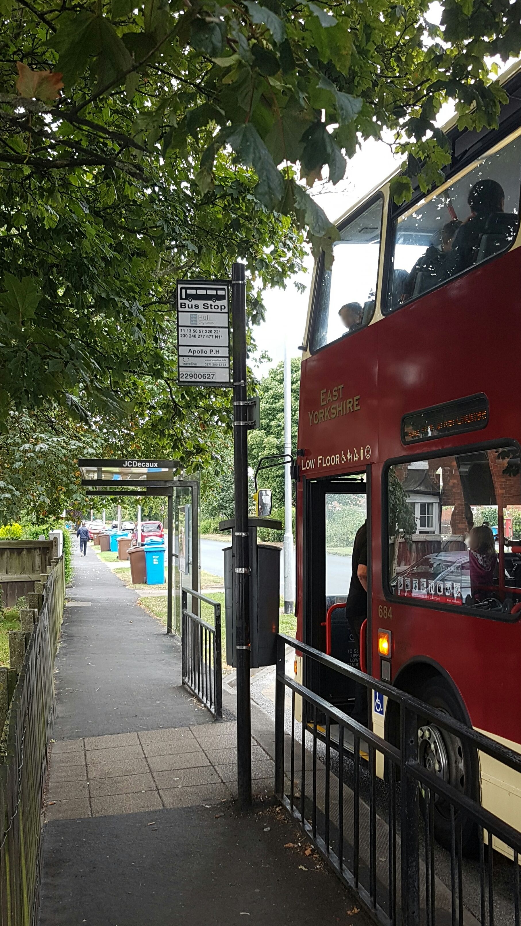 Taken by Anonymous
See The Apollo stop, Hull, on the map
Public transport to The Apollo stop (ID: 22900627) in Hull
Looking for directions to The Apollo in Hull, United Kingdom?
Download the Moovit App to find the current schedule and step-by-step directions for Bus routes that pass through The Apollo.
Looking for the nearest stops closest to The Apollo ? Check out this list of closest stops to your destination: Saltshouse Road; Diadem Grove Roundabout; Eastfield House; Garland Close.
Bus: 11, 24, 57, 8, 8C, 11A, 15, MC1, MC2, 246, 933, 13.
We make riding on public transit to The Apollo easy, which is why over 1.5 million users, including users in Hull trust Moovit as the best app for public transit.
Use the app to navigate to popular places including to the airport, hospital, stadium, grocery store, mall, coffee shop, school, college, and university.
The Apollo stop’s code is 22900627
The first line to this stop is 57, at 05:07, and the last line is 111 at 00:05.
This stop serves Stagecoach East Midlands and East Yorkshire’s lines
- Saltshouse Road,
- Diadem Grove Roundabout,
- Eastfield House,
- Garland Close
Bus stops near The Apollo stop
- Cheapside N9,
- Otley Garden Centre,
- Garforth Academy,
- Main Street/Bawtry Road,
- Cleethorpes,
- Dale Hill Road/Haids Road,
- Peel Street,
- Wakefield Rd Swillington Lane,
- Burn Road,
- Glossop Road/Clarkehouse Road,
- Beverley Lockwood Road,
- Beverley Road Tesco,
- Elland Wood Bottom,
- Doe Quarry Lane/Leys Lane,
- York High School,
- Brighouse Sainsburys,
- Retford Road/Furnace Lane,
- Pinderfields Hospital,
- Carleton Road Fair View,
- Station Lane
Popular public transport stations in Hull
Get around Hull by public transport!
Travelling around Hull has never been so easy. See step by step directions as you travel to any attraction, street or major public transport station. View bus and train timetables, arrival times, service alerts and detailed routes on a map, so you know exactly how to get to anywhere in Hull.
When travelling to any destination around Hull use Moovit's Live Directions with Get Off Notifications to know exactly where and how far to walk, how long to wait for your line , and how many stops are left. Moovit will alert you when it’s time to get off — no need to constantly re-check whether yours is the next stop.
Wondering how to use public transport in Hull or how to pay for public transport in Hull? Moovit public transport app can help you navigate your way with public transport easily, and at minimum cost. It includes public transport fees, ticket prices, and costs. Looking for a map of Hull public transport lines? Moovit public transport app shows all public transport maps in Hull with all Bus, Train and Light rail routes and stops on an interactive map.
Yorkshire has 3 transport type(s), including: Bus, Train and Light rail, operated by several transport agencies, including First Leeds, First South Yorkshire, First York, Arriva Yorkshire, Stagecoach Yorkshire, National Rail, First Bradford, First Halifax, Calder Valley & Huddersfield, East Yorkshire, The Keighley Bus Company, South Yorkshire Future Tram, The Harrogate Bus Company, TM Travel, Coastliner and Stevenson's Travel