How to get to Tree Removal Parafield by bus?
Click on the bus route to see step by step directions with maps, line arrival times and updated time schedules.
From Enfield Memorial Park, Enfield
45 minFrom Tafe Gilles Plains, Gilles Plains
57 minFrom Regency Park, Regency Park
107 minFrom Angle Park Greyhounds, Angle Park
95 minFrom Broadview SA Australia, Broadview
58 minFrom Charles Campbell college, Paradise
95 minFrom Strathmont High School, Gilles Plains
53 minFrom Woolworths The Stables, Golden Grove
123 minFrom Windsor Gardens Caravan Park, Windsor Gardens
88 minFrom Genesis Group Austra, Golden Grove
90 min
Train stations near Tree Removal Parafield in Salisbury South
What are the nearest stations to Tree Removal Parafield?
The nearest stations to Tree Removal Parafield are:
- Parafield is 2610 meters away, 34 min walk.
- Salisbury is 2898 meters away, 38 min walk.
Which bus lines stop near Tree Removal Parafield?
These bus lines stop near Tree Removal Parafield: 224M, 228, 502.
Which train line stops near Tree Removal Parafield?
GAWC (Gawler Central)
What time is the first train to Tree Removal Parafield in Salisbury South?
The GAWC is the first train that goes to Tree Removal Parafield in Salisbury South. It stops nearby at 06:56.
What time is the last train to Tree Removal Parafield in Salisbury South?
The GAWC is the last train that goes to Tree Removal Parafield in Salisbury South. It stops nearby at 00:18.
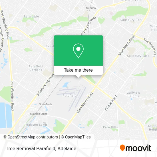
See Tree Removal Parafield, Salisbury South, on the map
Public Transit to Tree Removal Parafield in Salisbury South
Wondering how to get to Tree Removal Parafield in Salisbury South? Moovit helps you find the best way to get to Tree Removal Parafield with step-by-step directions from the nearest public transit station.
Moovit provides free maps and live directions to help you navigate through your city. View schedules, routes, timetables, and find out how long does it take to get to Tree Removal Parafield in real time.
Looking for the nearest stop or station to Tree Removal Parafield? Check out this list of stops closest to your destination: Parafield; Salisbury.
Bus: 224M, 228, 502.Train: GAWC, GAW, SALIS.
Want to see if there’s another route that gets you there at an earlier time? Moovit helps you find alternative routes or times. Get directions from and directions to Tree Removal Parafield easily from the Moovit App or Website.
We make riding to Tree Removal Parafield easy, which is why over 1.5 million users, including users in Salisbury South, trust Moovit as the best app for public transit. You don’t need to download an individual bus app or train app, Moovit is your all-in-one transit app that helps you find the best bus time or train time available.
For information on prices of bus and train, costs and ride fares to Tree Removal Parafield, please check the Moovit app.
Use the app to navigate to popular places including to the airport, hospital, stadium, grocery store, mall, coffee shop, school, college, and university.
Tree Removal Parafield Address: Mollison Rd Parafield SA 5106 street in Salisbury South
- North City FC,
- EV Charging Station,
- Supré,
- Air Youth of South Australia (Inc),
- Unit 15,
- Command Flight Training Parafield,
- Mens Shed Parafield,
- Web Graphix Achievers Tutoring,
- Shell,
- Parafield Flying Centre,
- Flight Experience Adelaide,
- Rotary Club of Salisbury sa Inc Allsorts Second Hand Goods Shop,
- Aerotech Helicopters,
- Parafield Ambulance Station,
- Southern Propeller Services,
- Aviation Engines Pty,
- Adelaide Aviation,
- Carbon Parafield Formerly O'Brien & Co Accountants and Advisors,
- Employment Medicine sa,
- RediATM Otr Parafield
Places Near Tree Removal Parafield (Salisbury South)
- Westfield Marion Shopping Centre, Oaklands Park,
- Morphettville Racecourse, Morphettville,
- A Trip A Trip A Trip P, Port Noarlunga,
- Westfield Tea Tree Plaza, Modbury,
- Womens and Childrens Hospital, North Adelaide,
- Regency TAFE, Regency Park,
- Westfield West Lakes, West Lakes,
- Chinatown, Adelaide,
- Flinders Medical Centre (Hospital), Bedford Park,
- Adelaide Central Market, Adelaide,
- St Andrews Hospital, Adelaide,
- Calvary Adelaide Hospital, Adelaide,
- Flinders Private Hospital, Bedford Park,
- Marion Shopping Centre, Oaklands Park,
- Lyell McEwin Hospital, Elizabeth Vale,
- IKEA, Adelaide Airport,
- Adelaide Zoo, Adelaide,
- Flinders Medical Centre, Bedford Park,
- Semaphore Beach, Semaphore,
- Puff and Present Emporium, Glenelg North
How to get to popular places in Adelaide with public transport
Get around Salisbury South by public transport!
Travelling around Salisbury South has never been so easy. See step by step directions as you travel to any attraction, street or major public transport station. View bus and train timetables, arrival times, service alerts and detailed routes on a map, so you know exactly how to get to anywhere in Salisbury South.
When travelling to any destination around Salisbury South use Moovit's Live Directions with Get Off Notifications to know exactly where and how far to walk, how long to wait for your line , and how many stops are left. Moovit will alert you when it’s time to get off — no need to constantly re-check whether yours is the next stop.
Wondering how to use public transport in Salisbury South or how to pay for public transport in Salisbury South? Moovit public transport app can help you navigate your way with public transport easily, and at minimum cost. It includes public transport fees, ticket prices, and costs. Looking for a map of Salisbury South public transport lines? Moovit public transport app shows all public transport maps in Salisbury South with all Bus, Train, Light rail and Ferry routes and stops on an interactive map.
Adelaide has 4 transport type(s), including: Bus, Train, Light rail and Ferry, operated by several transport agencies, including Adelaide Metro (Busways), SouthLink, Torrens Transit, Adelaide Metro Train and Adelaide Metro (Rail Commissioner Tram)