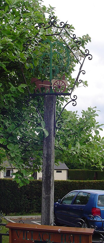
Directions to Walsham le Willows (Mid Suffolk) with public transport
The following transport lines have routes that pass near Walsham le Willows
How to get to Walsham le Willows by bus?
Click on the bus route to see step by step directions with maps, line arrival times and updated time schedules.
Bus stations near Walsham le Willows in Mid Suffolk
- Grove Road, Walsham-Le-Willows, 4 min walk,
- Four Ash Corner, Four Ashes, 6 min walk,
Bus lines to Walsham le Willows in Mid Suffolk
- 73, Garboldisham,
- 164, Thurston,
What are the nearest stations to Walsham le Willows?
The nearest stations to Walsham le Willows are:
- Grove Road, Walsham-Le-Willows is 246 meters away, 4 min walk.
- Four Ash Corner, Four Ashes is 397 meters away, 6 min walk.
Which bus line stops near Walsham le Willows?
338
What’s the nearest bus stop to Walsham le Willows in Mid Suffolk?
The nearest bus stop to Walsham le Willows in Mid Suffolk is Grove Road, Walsham-Le-Willows. It’s a 4 min walk away.
What time is the first bus to Walsham le Willows in Mid Suffolk?
The 304 is the first bus that goes to Walsham le Willows in Mid Suffolk. It stops nearby at 07:33.
What time is the last bus to Walsham le Willows in Mid Suffolk?
The 338 is the last bus that goes to Walsham le Willows in Mid Suffolk. It stops nearby at 18:15.
See Walsham le Willows, Mid Suffolk, on the map
Public Transit to Walsham le Willows in Mid Suffolk
Wondering how to get to Walsham le Willows in Mid Suffolk, United Kingdom? Moovit helps you find the best way to get to Walsham le Willows with step-by-step directions from the nearest public transit station.
Moovit provides free maps and live directions to help you navigate through your city. View schedules, routes, timetables, and find out how long does it take to get to Walsham le Willows in real time.
Looking for the nearest stop or station to Walsham le Willows? Check out this list of stops closest to your destination: Grove Road; Four Ash Corner.
Bus: 338, 73, 164.
Want to see if there’s another route that gets you there at an earlier time? Moovit helps you find alternative routes or times. Get directions from and directions to Walsham le Willows easily from the Moovit App or Website.
We make riding to Walsham le Willows easy, which is why over 1.5 million users, including users in Mid Suffolk, trust Moovit as the best app for public transit. You don’t need to download an individual bus app or train app, Moovit is your all-in-one transit app that helps you find the best bus time or train time available.
For information on prices of bus and train, costs and ride fares to Walsham le Willows, please check the Moovit app.
Use the app to navigate to popular places including to the airport, hospital, stadium, grocery store, mall, coffee shop, school, college, and university.
Walsham le Willows Address: Palmer Street Walsham le Willows Bury St Edmunds IP31 3 street in Mid Suffolk
Attractions near Walsham le Willows
JWP Contracts Limited,Walsham Le Willows,Cat Protection League,David J Brown,Martin Hall Driving School,Walsham le Willows,Alan Ankin,G T Carlick,First Impressions Interior Design,N D Clarke Electrical Instillations,PH Woodman,Wool Products,Summers Associates,Walsham-le-Willows F.C.,Cottage Farm,Badwell Ash,East Coast Traders,Badwell Engineering,Personnel Logistics,Old Guildhall Bed and BreakfastHow to get to popular attractions in Mid Suffolk with public transportation
Addenbrooke's Hospital Bus Station, Cambridge,King's Lynn Bus Station, King'S Lynn And West Norfolk,Newmarket Leisure Centre, Forest Heath,Felixstowe Sea Front, Suffolk Coastal,Hellesdon, Norwich,John Lewis, Norwich,The Sea Front, Great Yarmouth,Pleasurewood Hills, Waveney,Cambridge University Centre, Cambridge,Queensgate Shopping Centre,The Glass House (Wetherspoon), Norwich,Nuffield Health Norwich Fitness & Wellbeing Gym, Norwich,Cambridge University Sports Centre, Cambridge,Platform 7, Cambridge,MRC Laboratory of Molecular Biology, Cambridge,Riverside Retail Park, Norwich,Cambridge Judge Business School, Cambridge,Thomas Paine Study Centre, Norwich,Cambridge University Press, Cambridge,Mathematical Bridge, CambridgeGet around East Anglia by public transport!
Travelling around East Anglia has never been so easy. See step by step directions as you travel to any attraction, street or major public transport station. View bus and train timetables, arrival times, service alerts and detailed routes on a map, so you know exactly how to get to anywhere in East Anglia.
When travelling to any destination around East Anglia use Moovit's Live Directions with Get Off Notifications to know exactly where and how far to walk, how long to wait for your line , and how many stops are left. Moovit will alert you when it’s time to get off — no need to constantly re-check whether yours is the next stop.
Wondering how to use public transport in East Anglia or how to pay for public transport in East Anglia? Moovit public transport app can help you navigate your way with public transport easily, and at minimum cost. It includes public transport fees, ticket prices, and costs. Looking for a map of East Anglia public transport lines? Moovit public transport app shows all public transport maps in East Anglia with all Bus, Train and Ferry routes and stops on an interactive map.
East Anglia has 3 transport type(s), including: Bus, Train and Ferry, operated by several transport agencies, including National Rail, Ambassador Travel, Harwich Harbour Ferry, Stephensons of Essex, Villager Minibus Sharnbrook, The Voluntary Network, Dews Coaches, Lord's Travel, Felixstowe Ferry Boat Yard, Hadleigh Community Transport, Beestons, Fenland Association for Community Transport, First Norfolk & Suffolk, Mulleys Motorways, Halesworth Area Community Transport